
New York City
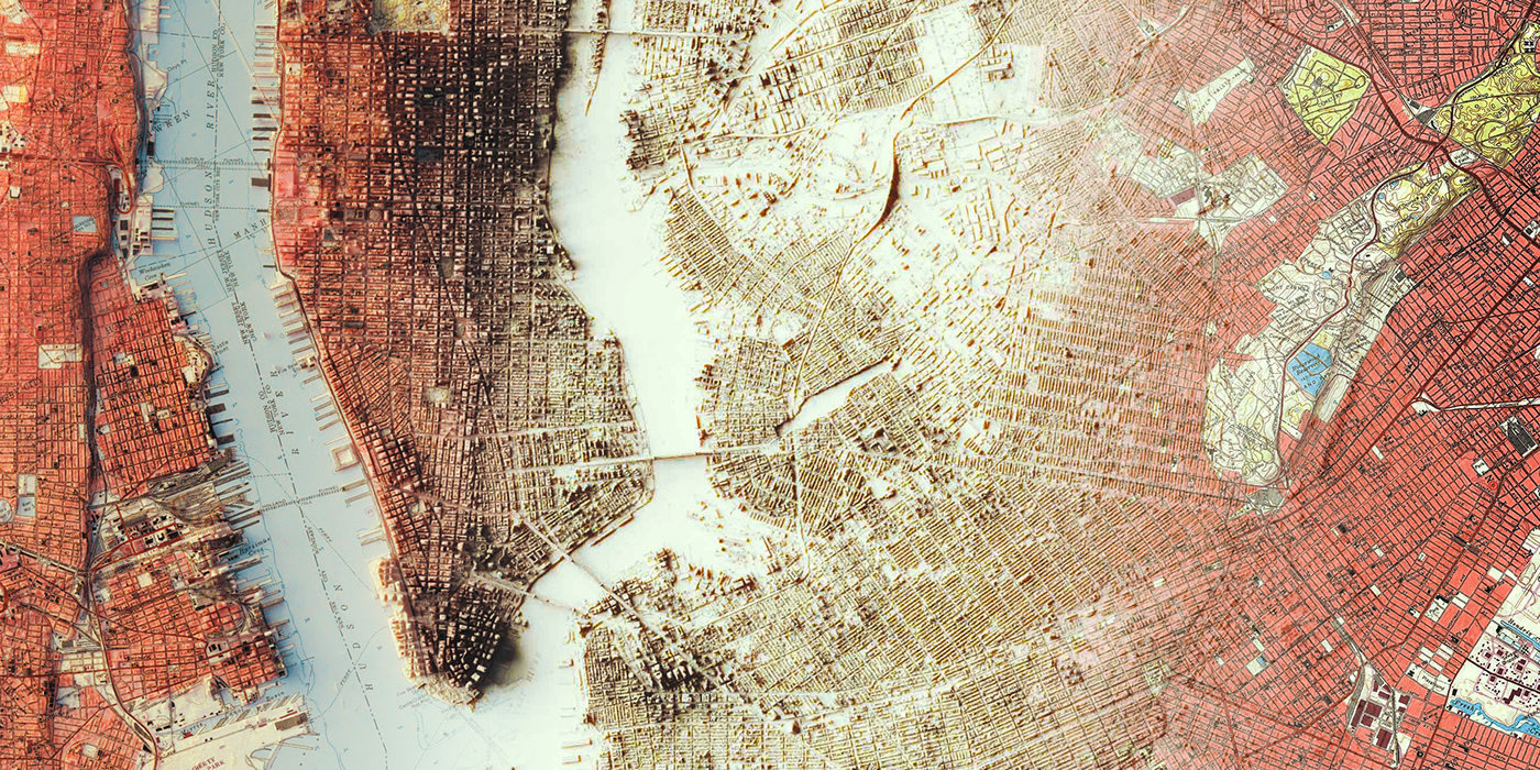
From a thecnical sheet to an artistic shaded relief map of the city of New York.

The original map was cropped, restored and turned.
The original map is a collage of 1955-56 maps from usgs official site.
The original map is a collage of 1955-56 maps from usgs official site.

After several hour to adjust and clean the satellite data, we made a preview to see light and elevation.

we loved the result achieved with this map, but this was a custom commission, so client have another point of view and we realized some changes to meet his desires.
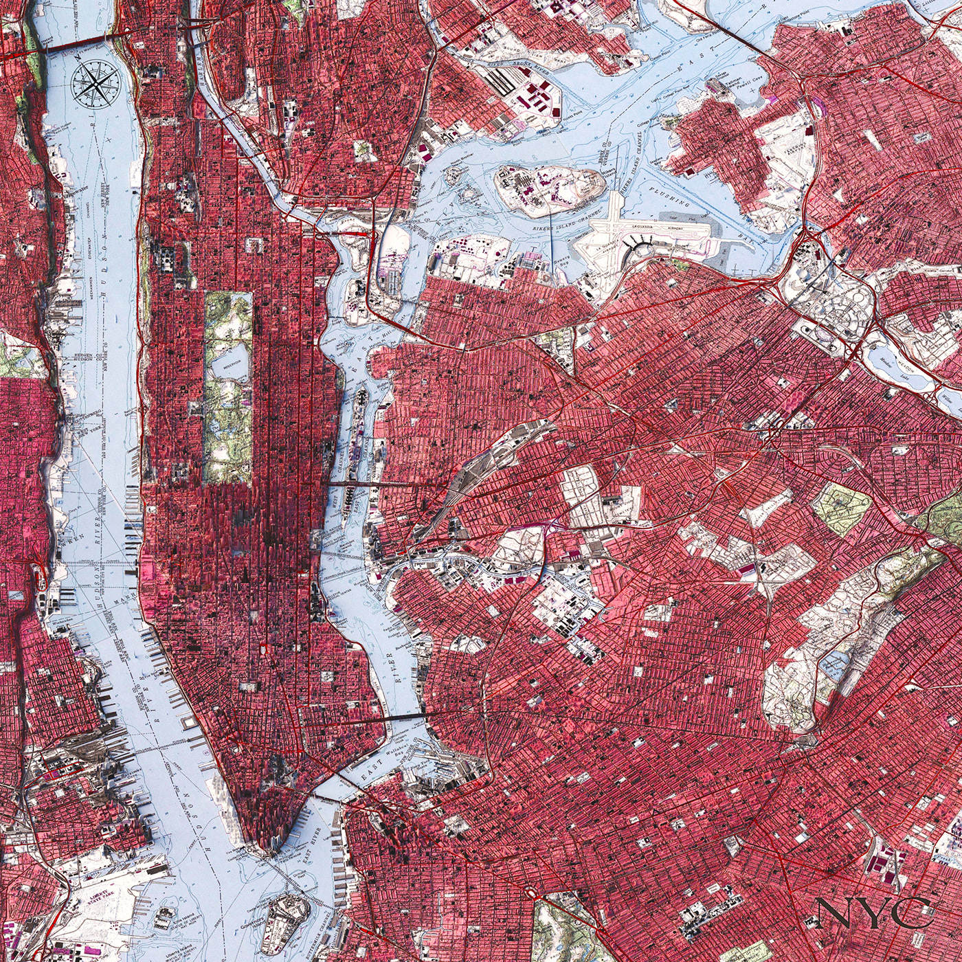
The new camera is prospective, so gives a little lens deformation and the proportion is squared.
Vizart Studio
3D cartography & dataviz
If you like our work, want to see our daily work or want to say hello to us,
Otherwise if you are interested in our prints or have a custom request check our shop vizcart.io
For inqueries or commission, feel free to contact us at hello@vizart.io


