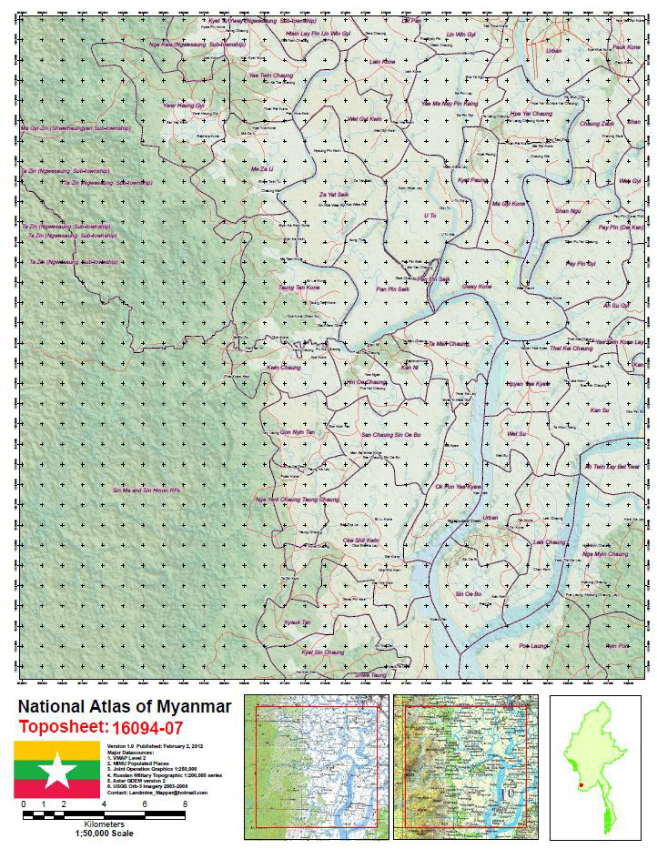
National Topographic Atlas of Myanmar
from best available International GIS & Remote Sensing Datasets
from best available International GIS & Remote Sensing Datasets
A National Topographic Atlas of Myanmar at 1:50,000 scale. Source information is best available international datasets including:
- Joint Operation Graphics JOGS 1:2500,000
- Russian Military Toposheets 1:200,000
- ASTER GDEM Global Digital Elevation Model
- NIMA VMAP Level 1 data (released during Cyclone Nargis)
- Landscan Global Population
- Global Names Information System GNIS
- About four Terrabytes of satellite imagery kindly provided by USGS
(including 1000+ Orb-3 one meter resolution scenes)
etc
etc
Index sheets and map index system used is same as the official new Government of Myanmar 1:50,000
topographic series. Please note this Atlas does not use in any way any GIS or imagery data
from official Government of Myanmar sources. Please also note there are some restrictions still in
place regarding the distribution of topographic maps within Myanmar. For example, the
display of contours on a topographic map may require special permission. To respect this
requirement this atlas avoids the use if contours but instead makes use of hill shading.
Map series will be updated continuously as new data becomes available.