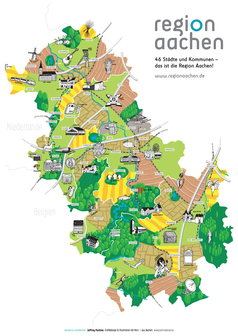
I designed and illustrated this map in assignment by the communal organisation Region Aachen. It shows the German part of the Euregio-Maas-Rhein, centered around Aachen, in the west of Northrhine-Westphalia (Germany).
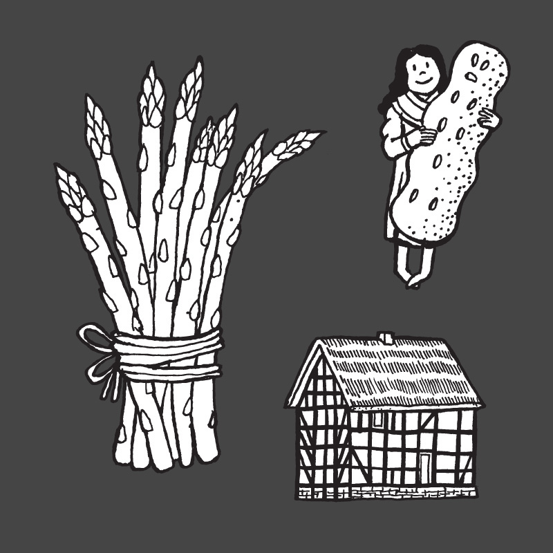
It contains several touristic and cultural highlights of this region, like the Dom in Aachen. These cultural "icons" were handdrawn and combined in photoshop. For the typography on the map I used Pinto (facetype) and Daft Brush (pintassilgoprints)
Please contact me if you are interested in a printed copy of the map!
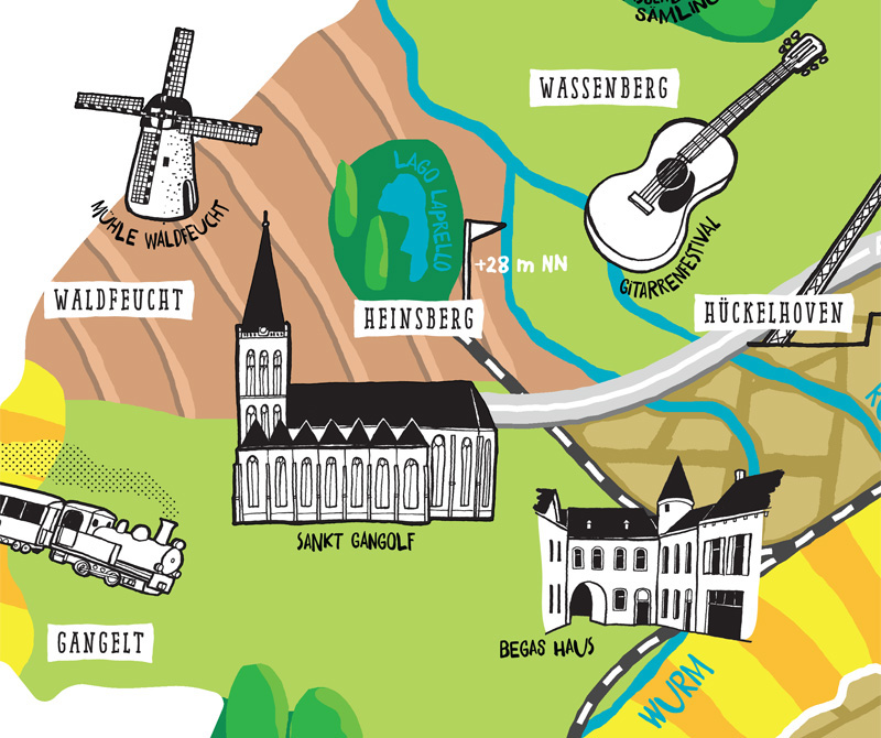
detail of the Heinsberg Area, including the old mill in Waldfeucht and the St Gangolf church

Rivers, railroads and Autobahns are also included
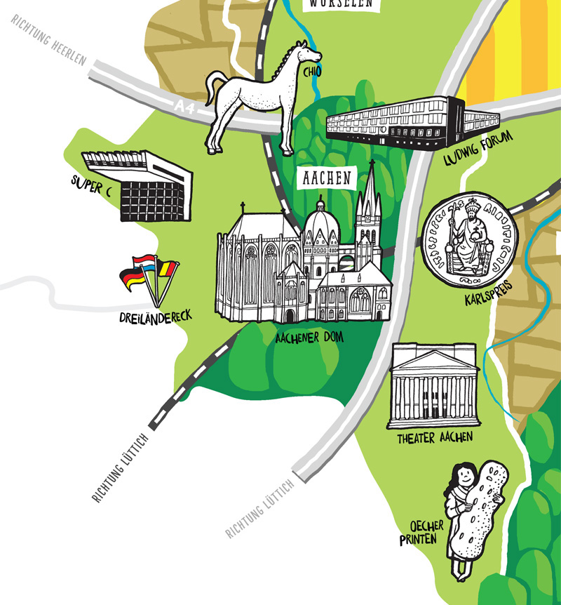
Detail of the Aachen area, with the Dom, the Theatre and the Ludwig Forum museum

A part of the map showing the Rursee in the Eifel forest

The area is also infamous for its browncoal mining...
Thanks a lot for watching!