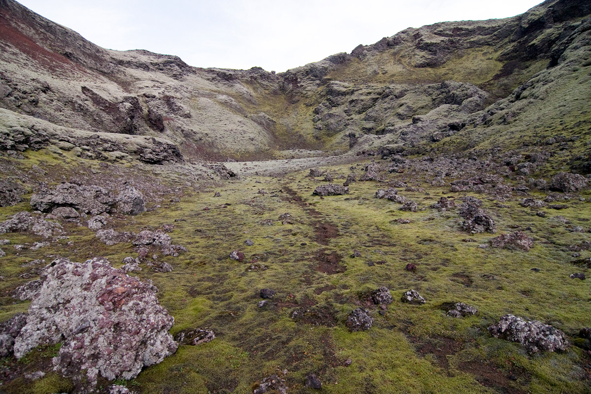
Lakagígar
Dive in one of the most savage and beautiful area of Iceland.
Dive in one of the most savage and beautiful area of Iceland.
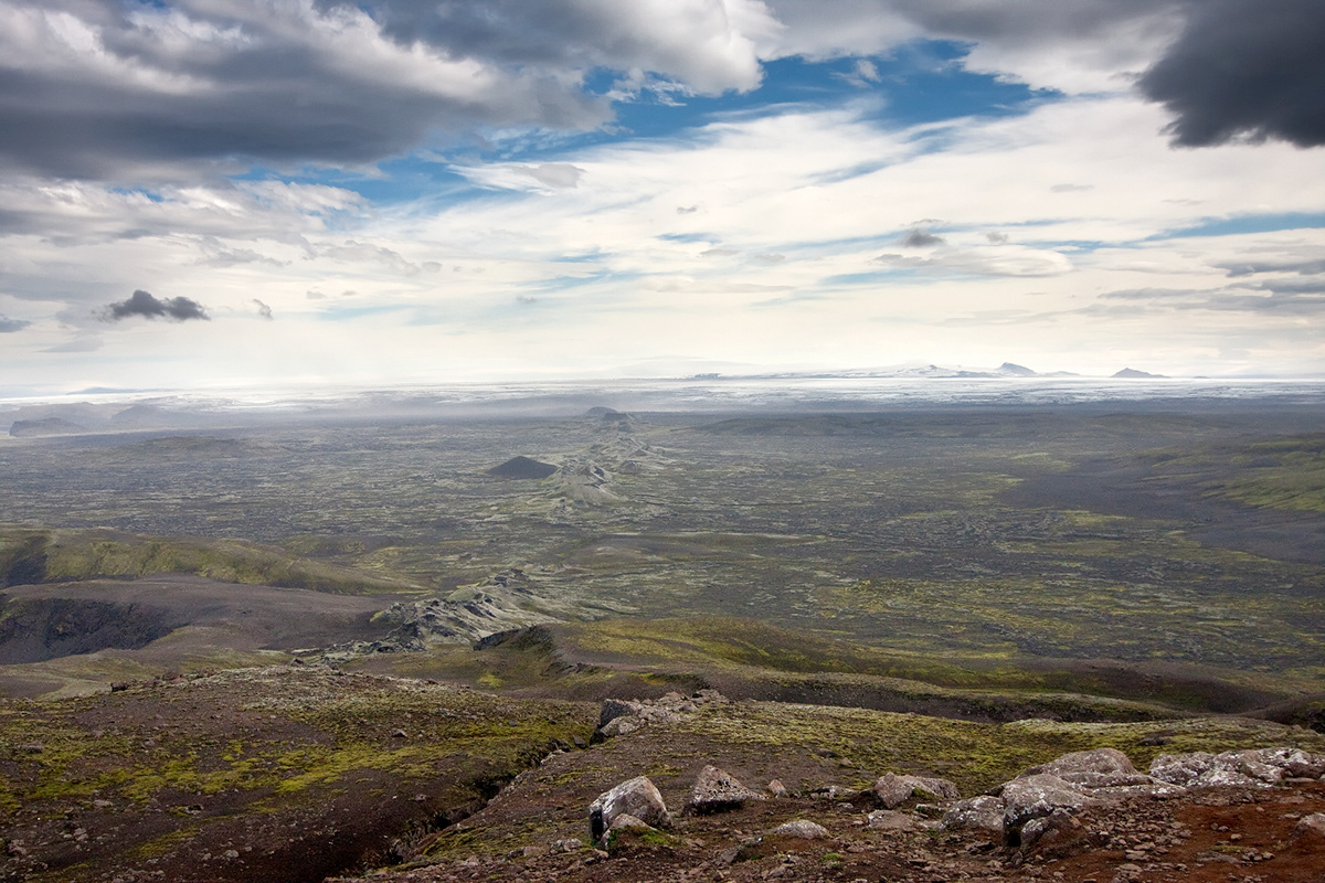
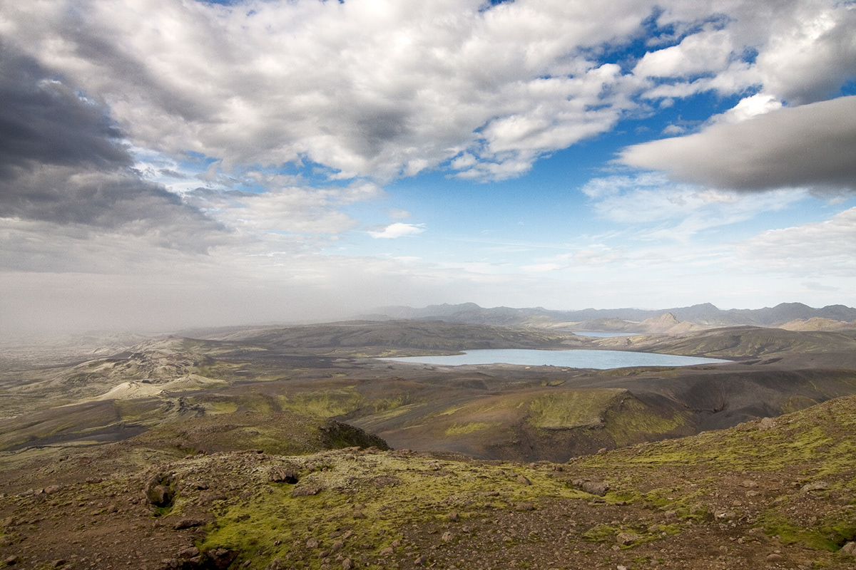
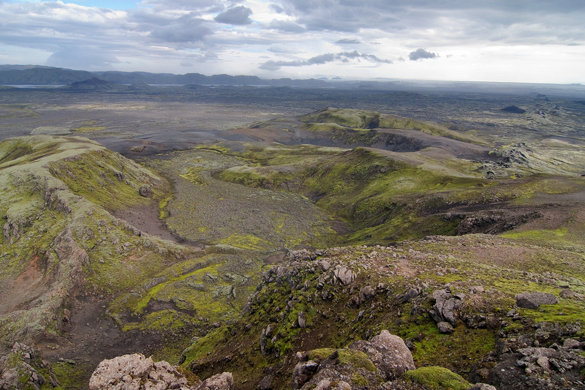
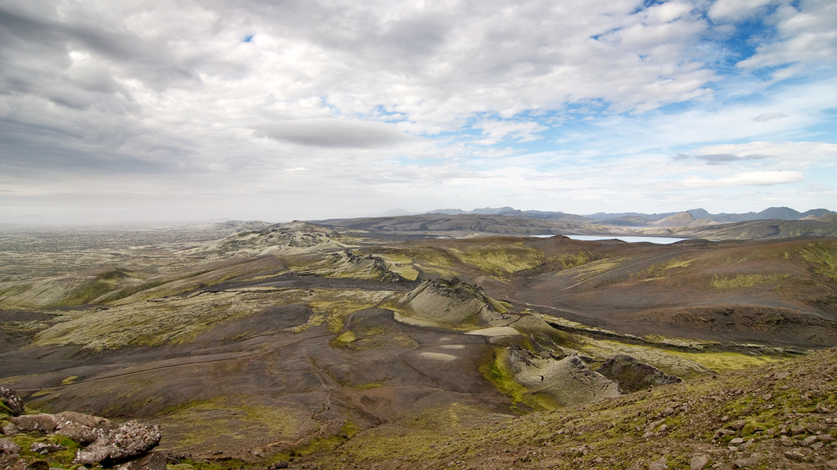
Lakagígar (Craters of Laki) is a volcanic fissure in the south of Iceland, not far from the canyon of Eldgjá and the small village Kirkjubæjarklaustur. Lakagígar is the correct name, as Laki mountain itself did not erupt, but fissures opened up on each side of it. Lakagígar is part of a volcanic system centered on the Grímsvötn volcano and including the Þórðarhyrna volcano. It lies between the glaciers of Mýrdalsjökull and Vatnajökull, in an area of fissures that run in a south-west to north-east direction.
The system erupted over an eight-month period between 1783 and 1784 from the Laki fissure and the adjoining Grímsvötn volcano, pouring out an estimated 14 km 3 (3.4 cu mi) of basalt lava and clouds of poisonous hydrofluoric acid and sulfur dioxide compounds that killed over 50% of Iceland's livestock population, leading to a famine that killed approximately 25% of the island's human population.
The Laki eruption and its aftermath caused a drop in global temperatures, as sulfur dioxide was spewed into the Northern Hemisphere. This caused crop failures in Europe and may have caused droughts in India. The eruption has been estimated to have killed over six million people globally, making the eruption the deadliest in historical times. (wikipedia)