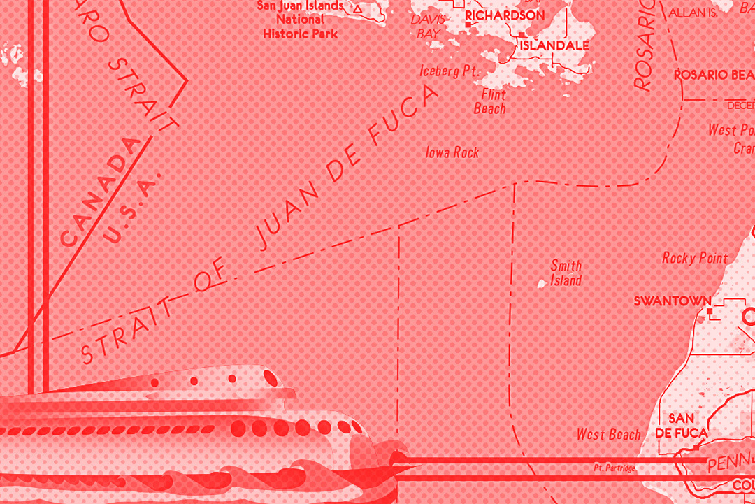
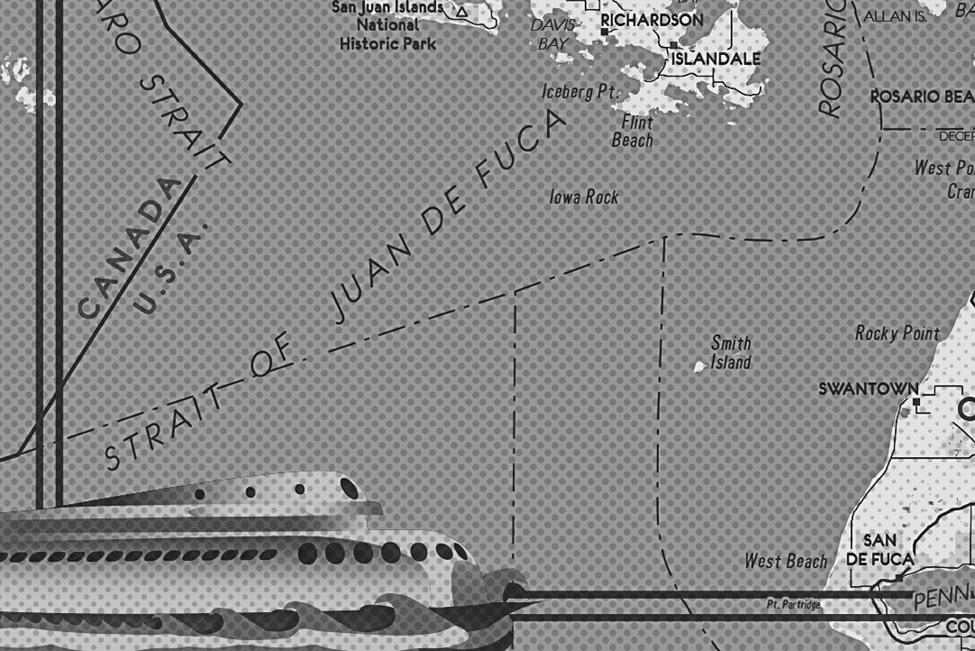
This map spans from the US/Canada border down to Stanwood, Washington, and from the mid-North Cascades National Park to just west of the San Juan Islands. Created in an art deco style, this map was completed in four different versions. These two versions are an exploration of monochrome color schemes.
Many maps from the 1930s through the 1970s (and later) were finished with a card stock paper cover. These maps are a play on those map covers, as they oftentimes contain chunky gorgeous, and at times grotesque, illustrations meant to entice visitors of the area by invoking a particular regional imagery.

This green-to-rouge color scheme is nevertheless monochrome, in that the card stock in my imagination was a pulpy rouge-salmon. I added this pulpy texture to another version of this map. You'll notice the version below is flatter (does not have the texture added). The green is the ink color for this map, and every hue is a play from that color as the ink with the rouge/salmon as the base paper.

The Kalakala ferry, a popular ferry in the Puget sound during the 1920s-1960s, in the green/rouge version.

A black and white version of the Kalakala ferry with a halftone pattern.
A red version of the Kalakala ferry with a halftone pattern.