

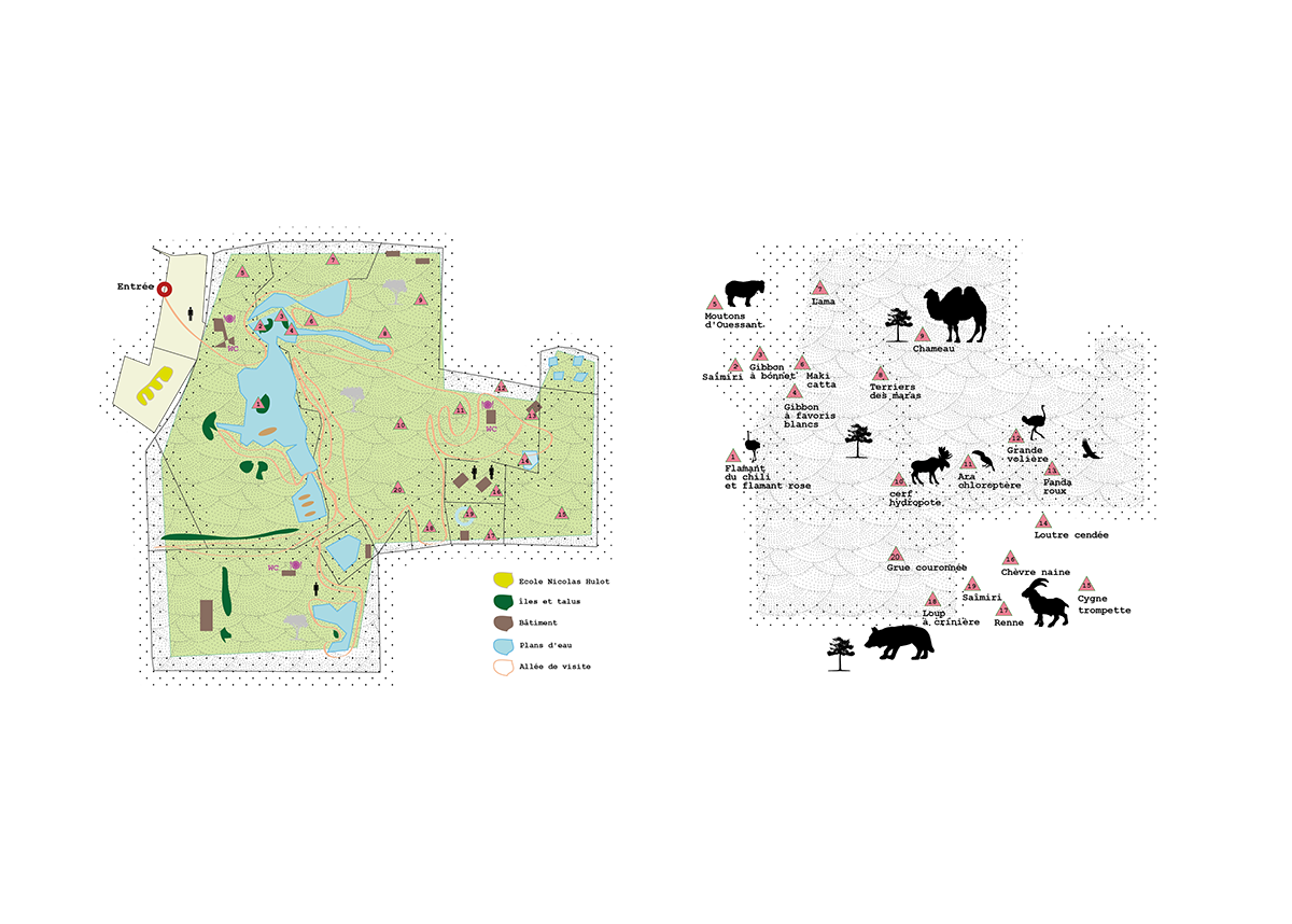
// L’aménagement d’espace public et naturel
Il s’agit de développer un soft qui devra lire des DATA RFID pour monter automatiquement des vidéos
Il s’agit de développer un soft qui devra lire des DATA RFID pour monter automatiquement des vidéos
à partir de séquences stockées en base de données et d’une photo du visiteur.
// Development of public and natural spaces.
It’s a question of developing software that will have to read RFID DATA, to automatically edit videos
from sequences stored in the database and a photo of the visitor.

// La particularité de cette démarche consiste à offrir à ces aménagements des interfaces qui véhiculent
de manière ludique des valeurs écologiques et patrimoniales tout en facilitant l’usage.
// The particularity of this approach consists in offering these development interfaces that convey in
a playful way of ecological and heritage values while facilitating use.

// la conception d’un clip multimédia en lien avec le support interactif
Le service qui permet au visiteur d’interagir avec son environnement pour obtenir et partager automatiquement le clip dont il est le héros. Le scénario du clip est conçu en fonction des centres d’intérêts du site. Il est personnalisé selon le parcours, la photo, et l’âge du visiteur.
// The design of a multimedia clip in connection with the interactive support
The service that allows the visitor to interact with his environment to automatically obtain and share the clip of which he is the hero. The scenario of the clip is designed according to the interests of the site. It is personalized according to the route, the photo, and the age of the visitor.


