A retro-influenced style for Waterways World’s new pull-out “waterway profile” series. The intention was to echo the early cruising guide maps of the 1960s and 70s.
Design features include a limited palette; a roughened blue waterway centreline to give a ‘sketched in’ look; and a similarly sketchy print font. Features are heavily generalised to emphasise the waterway above all else.
Road/railway source data is Ordnance Survey Open Data; all other data is my own research and knowledge.
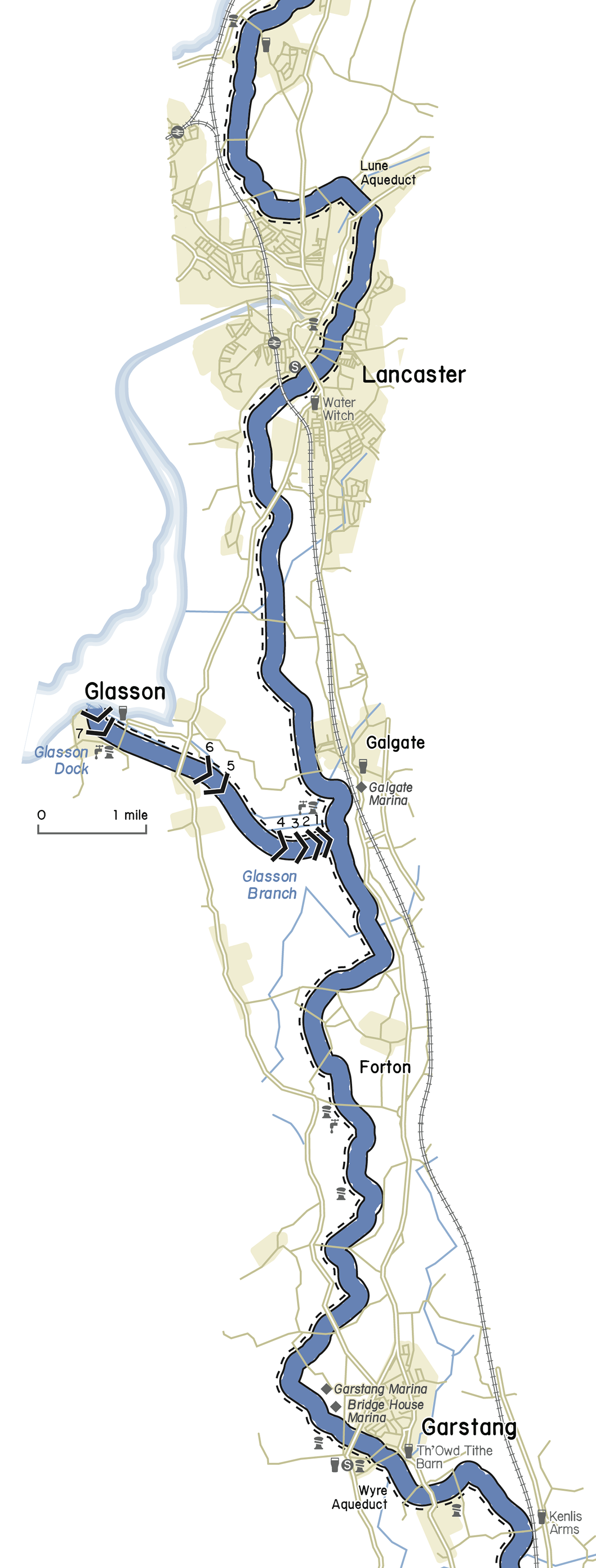
The Lancaster Canal.
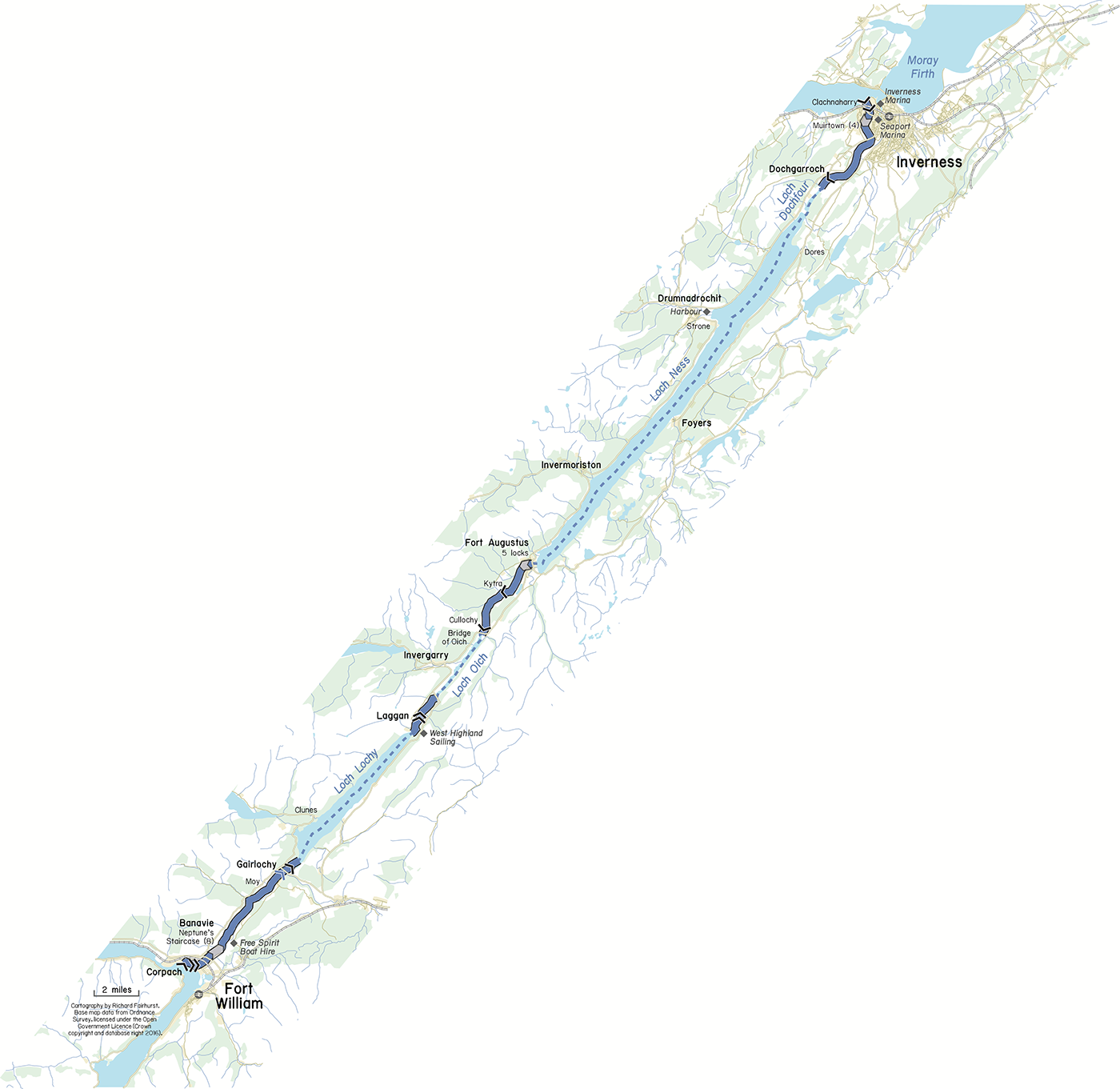
The Caledonian Canal.

The Shropshire Union Middlewich Branch.

The Thames tideway through London.
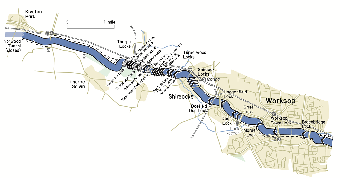
The Chesterfield Canal – a very densely locked section!
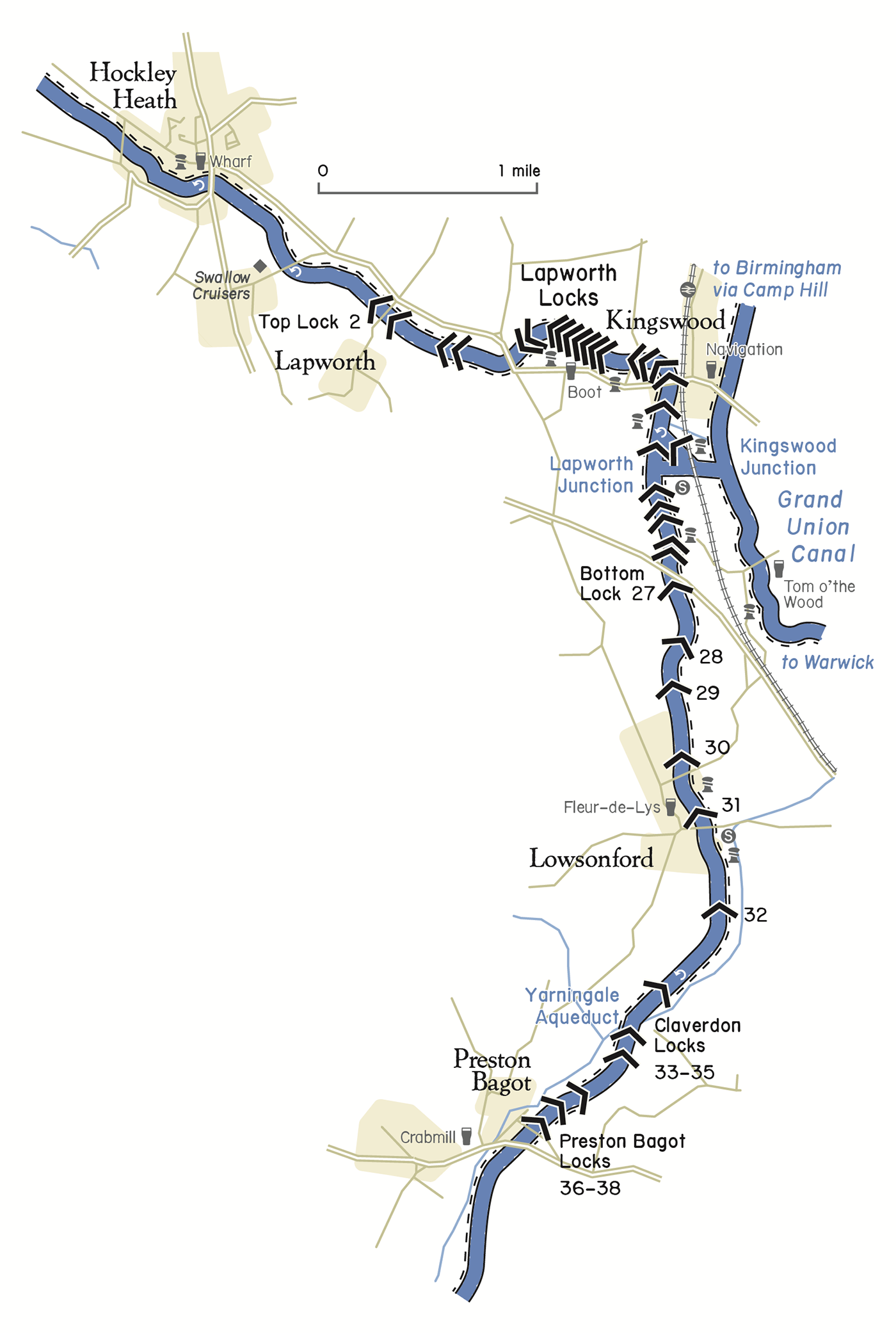
The Stratford-upon-Avon Canal.
