
Clear routing with multiple points had not yet been invented. There were many challenges related to storing a midpoint that the Yahoo development team was able to solve.
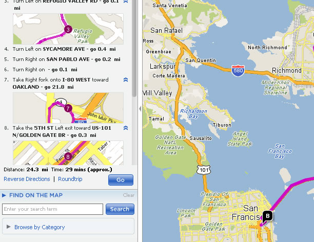
Simple innovations, like placing a mini-map of each step inline in the directions, really helped people keep on course.
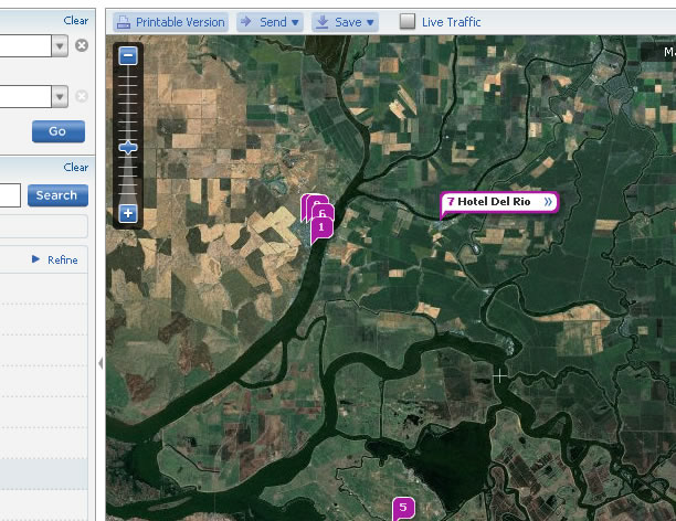
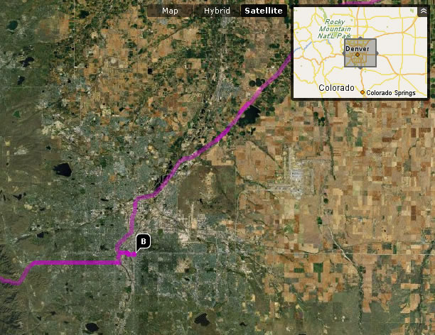
The data sources were really only starting to collect satellite imagery.
The map UI utilized a proximity-based navigation box... allowing people to step, or "drive" their route by moving the cursor around.

Yahoo! was ahead of the game on including non-business information, such as ATM locations or Bus and Train stops.


