
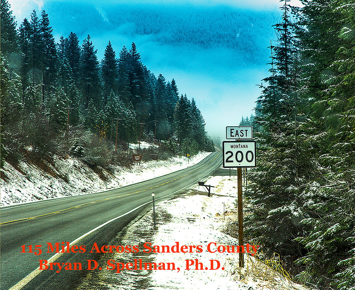
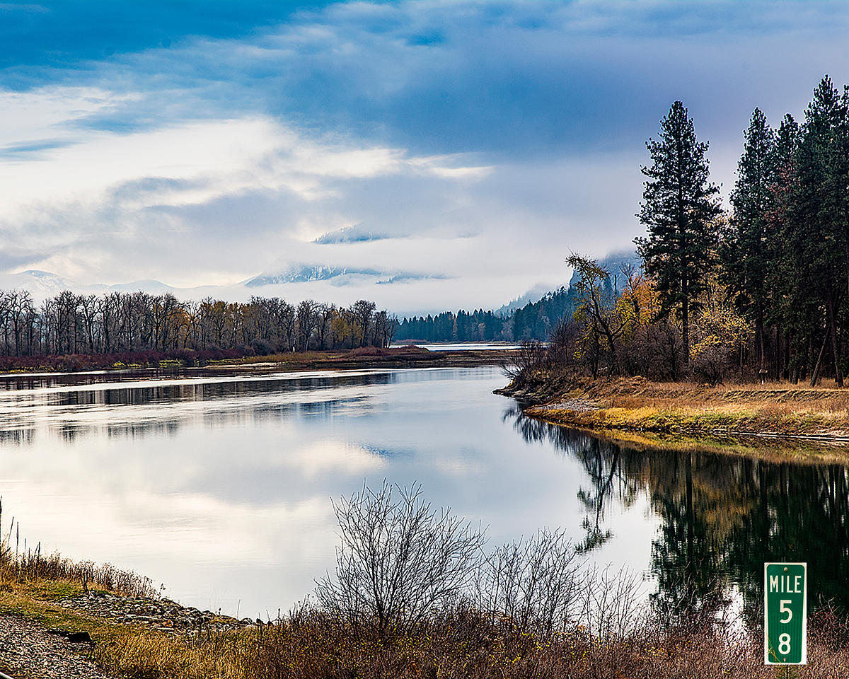
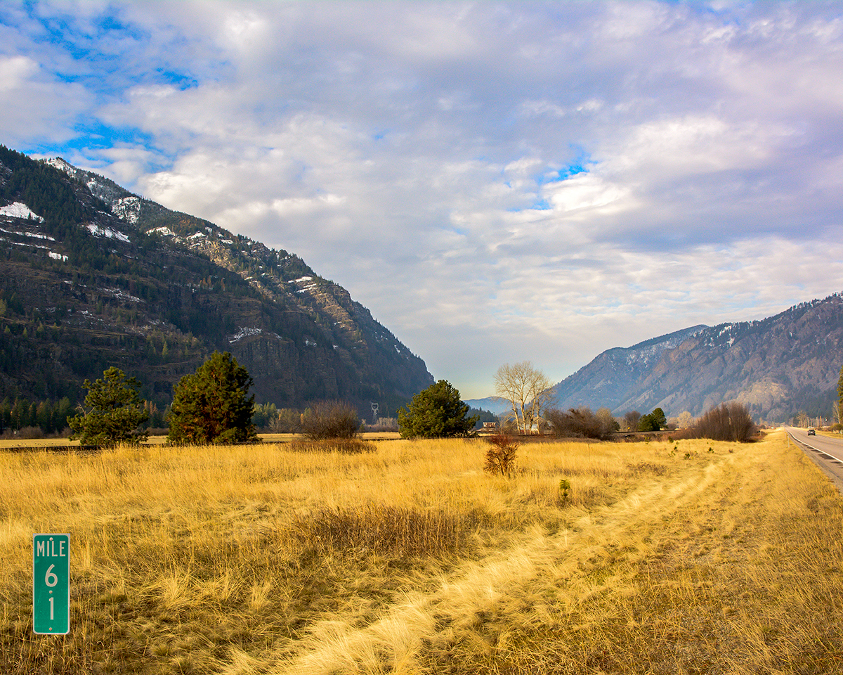
Montana Highway 200 enters the state at the Idaho border (where it is known as Idaho Highway 200). The highway continues across the state for over 700 miles until it crosses into North Dakota at the town of Fairview where it becomes North Dakota Highway 200. The first 115 miles are all within Sanders County, and the highway passes by or through all but one of the towns in the county. For its entire length it parallels a westward flowing river. The Clark Fork of the Columbia stretches from the Idaho line to Mile Marker 84. From 84 to 110, the highway follows the Flathead River, and from 110 on the Jocko River. The first seventy-five miles wind through the river canyon between the Cabinet Range on the north and the Coeur d'Alene Range of the Bitterroot Mountains on the south. Between Thompson Falls and Plains (Mile Markers 51 and 76), the highway and the river cut through Bad Rock Canyon through which Glacial Lake Missoula drained.
Almost all of the following photographs were taken in November, 2017, using a Nikon D7100 camera and various lenses, but usually a Nikkor 16-85 mm lens.


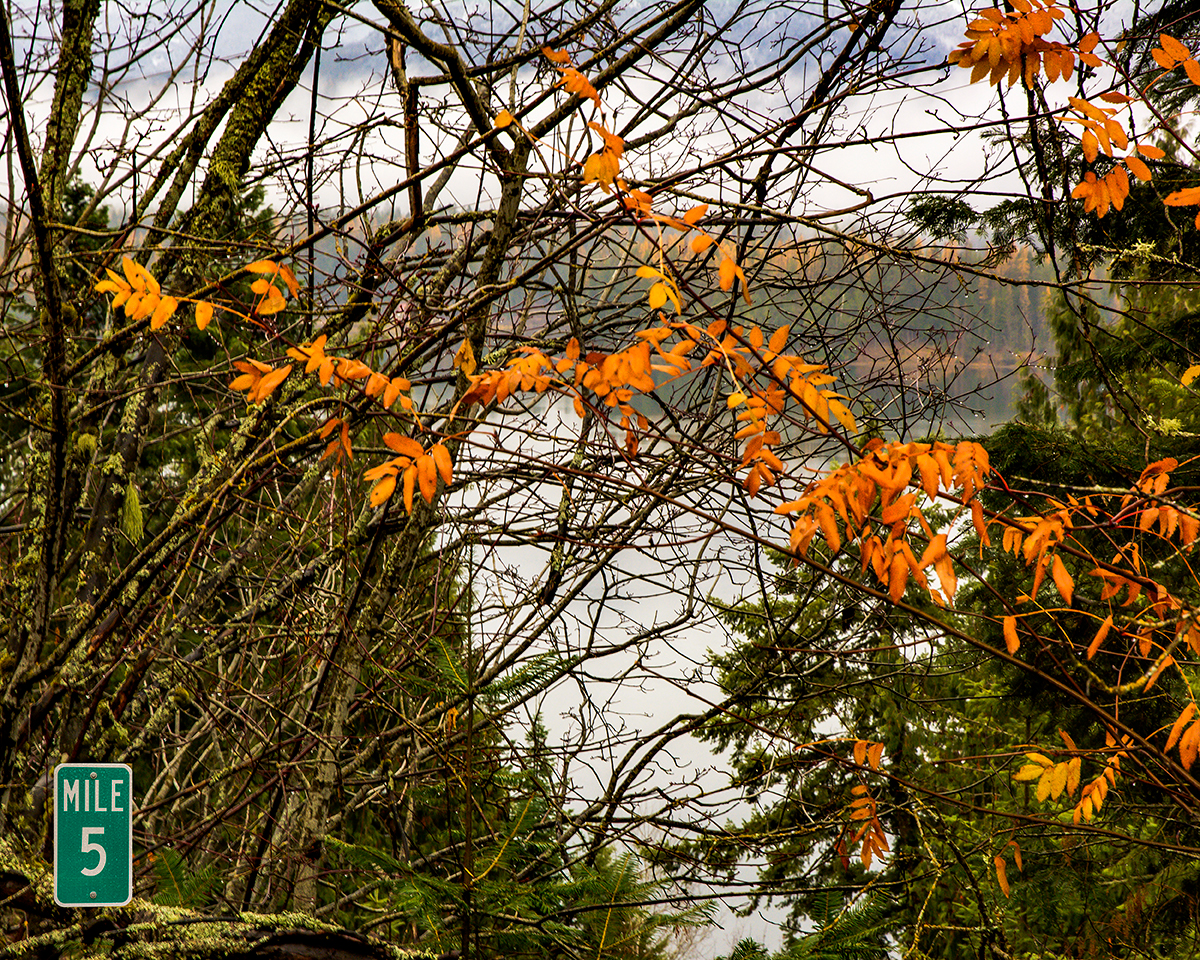
Half-way between Mile Markers 3 and 4 is the turn off to the town of Heron, Montana's western most town.


A small commercial district at the junction of Montana Highways 200 and 56 which heads north to U.S. Highway 2 just east of the town of Troy, Montana.

The confluence of the Bull River and the Clark Fork.


The one-lane bridge to the town of Noxon, Montana.


Almost exactly half-way between Mile Markers 18 and 19, you can turn off the highway and visit the Noxon Rapids Dam.


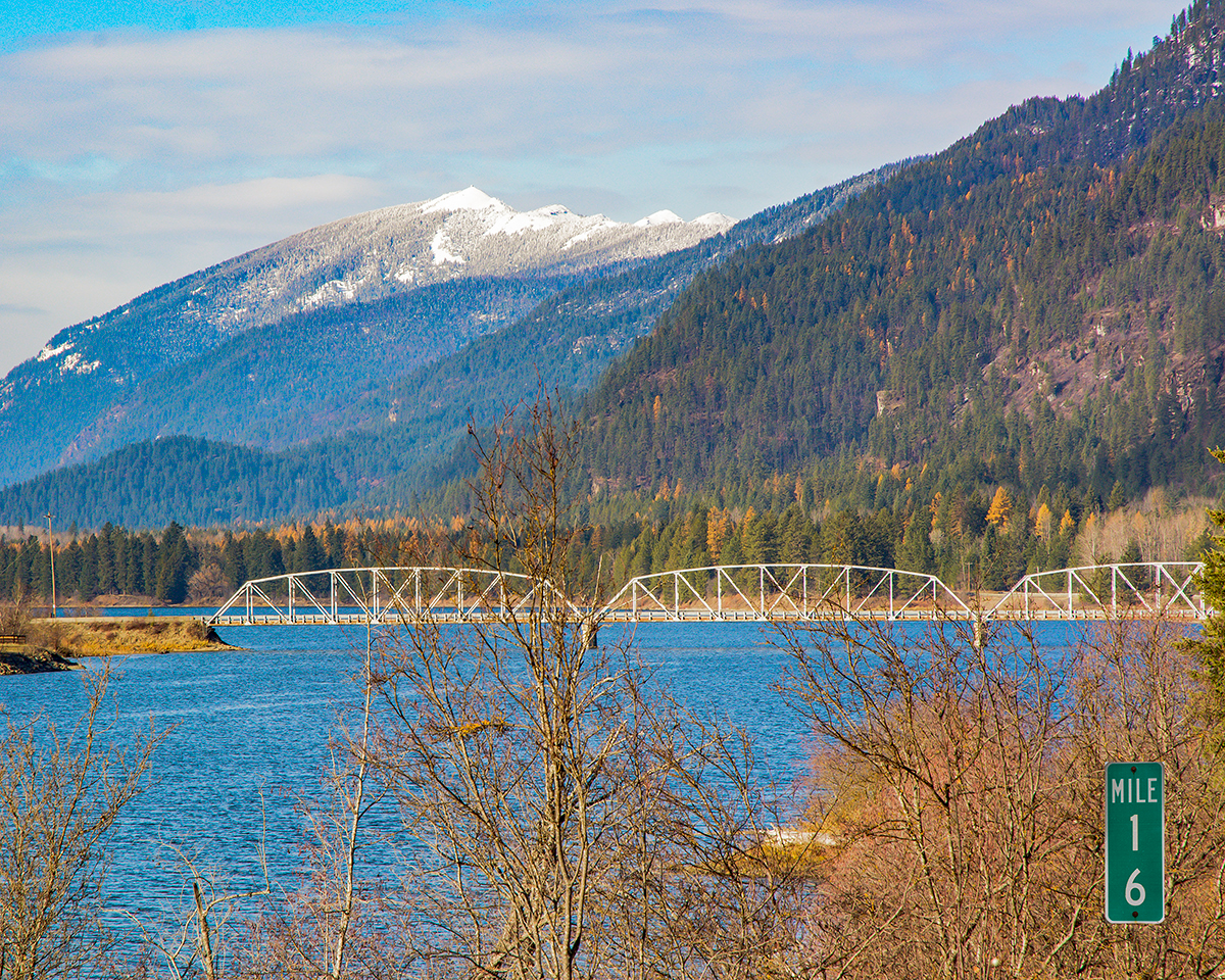
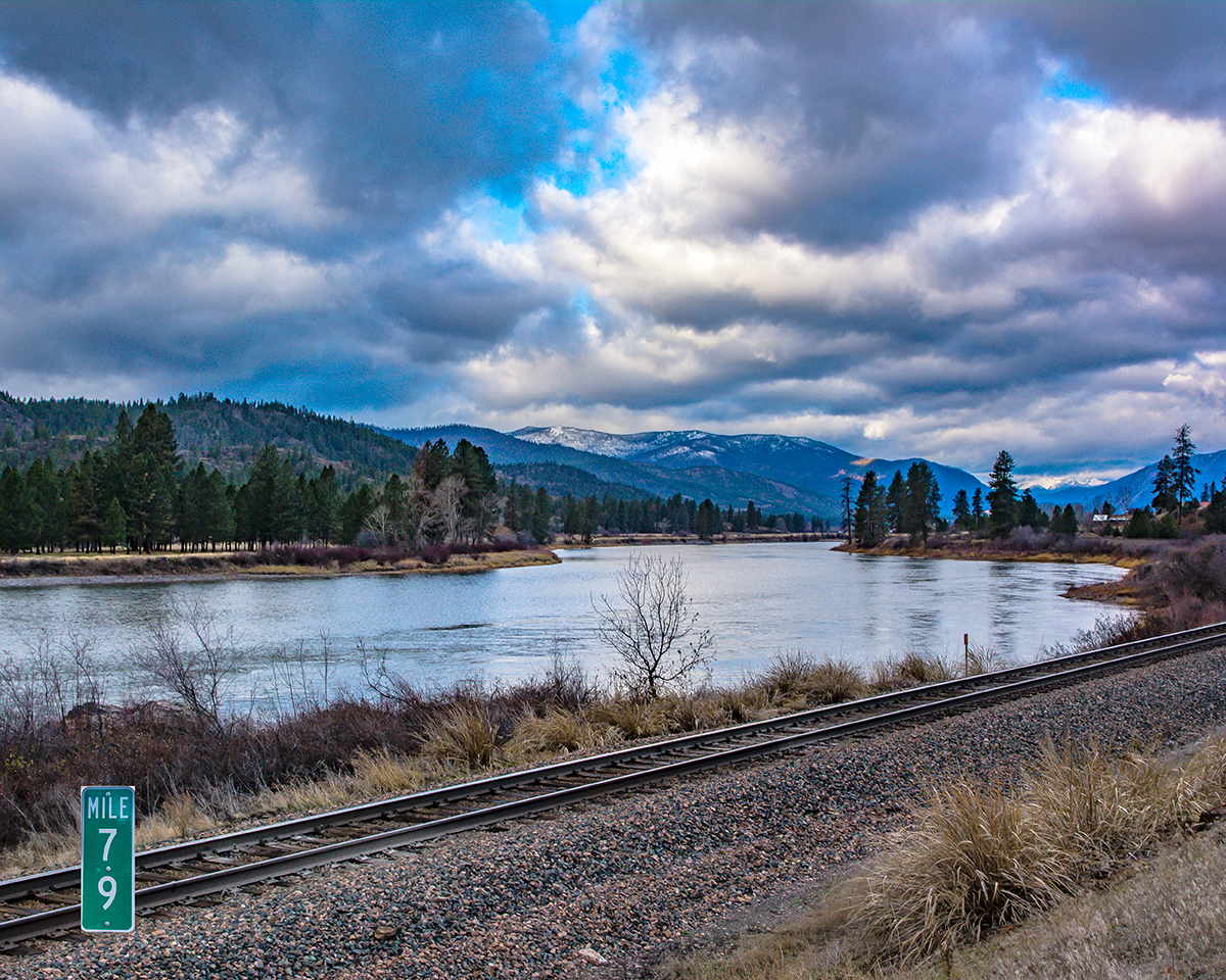
At Mile Marker 28, Montana Highway 200 crosses the Clark Fork River, impounded as Noxon Reservoir behind the Noxon Rapids Dam.

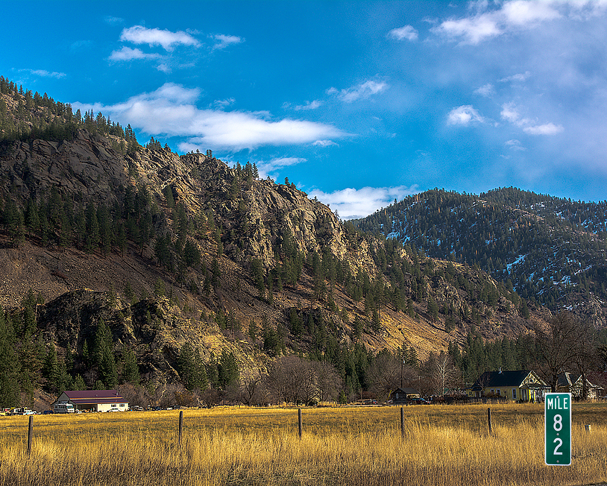
Approaching Trout Creek, Montana, the Huckleberry Capital of the World.


The Blue Slide as seen from the Finlay Flats Recreation Area, 1 1/2 miles north of the highway.


Belknap, at one time the largest settlement in what is now Sanders County, with over 5,000 people looking for gold or serving those seeking the precious metal.

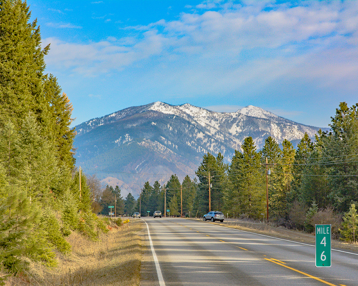


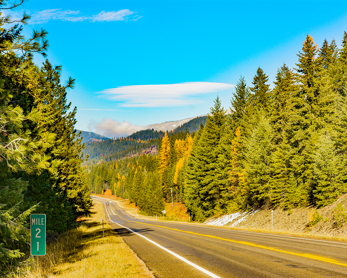
Mile Marker 49 is at the junction with the Thompson Pass Highway which crosses the Coeur d'Alene Range of the Bitterroot Mountains to the gold and silver fields of Idaho's Shoshone County.

The western approach to Thompson Falls, Montana.

The Clark Fork River impounded behind the Thompson Falls Dam, one block off the highway in Thompson Falls, Montana, the Sanders County Seat.


The Yellowstone Pipeline Tank Farm (and tanker cars) at the Thompson Falls Terminal.


Looking toward the bridge over the Thompson River and the junction with the Thompson River Road which connects Highway 200 with U.S. Highway 2, some 40 miles of dirt road later.


The Montana Rail Link (Burlington Northern Santa Fe) rail bridge over Lynch Creek.

Mount Baldy, at 7500 feet the highest peak in this eastern part of the Cabinet Mountains, with its heart-shaped snow field.

The original Wild Horse Plains School, Plains, Montana.


You have reached Paradise, the town of Paradise, Montana, that is.


The junction with Montana Highway 135 toward St. Regis and Interstate 90.


You are about to enter the Flathead Indian Reservation (Confederated Salish-Kootenai Tribes). From this point on, you will stay on the Reservation for the rest of your drive across Sanders County.


The extremely small town of Perma, Montana.


This old homesteader's cabin is not easily visible from the highway.


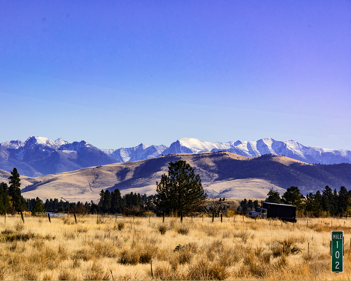
Highway 200 crosses Magpie Creek at Mile Marker 101.

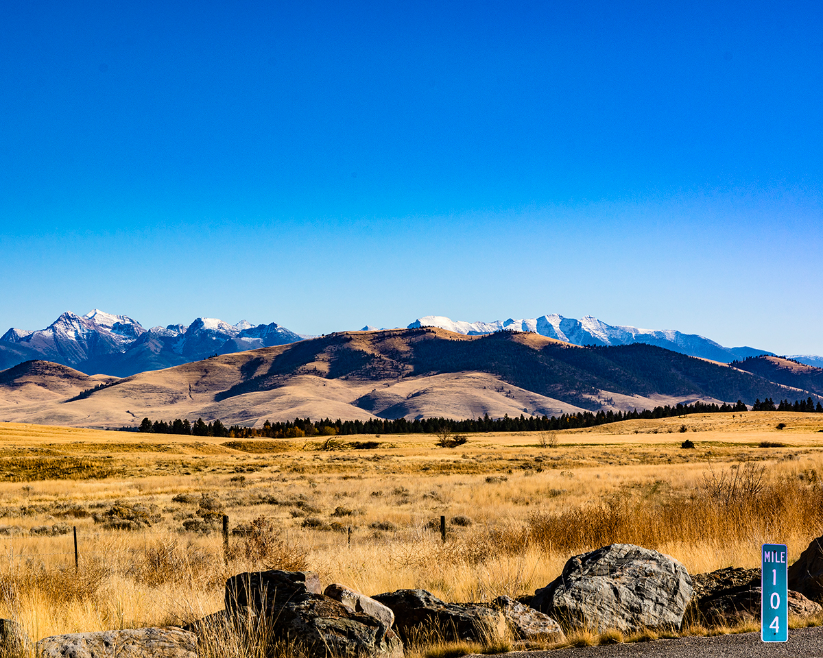
The Mission Mountains form the backdrop from Mile Marker 104.


Mile Marker 109 is in the town of Dixon, Montana.

The bridge is a Montana Rail Link (Burlington Northern Santa Fe) bridge across the Jocko River. Just east of Mile Marker 110 is the junction with Montana Highway 212.


And before you reach Mile Marker 116, you've crossed into Lake County, Montana.

