

Interactive map of the city of Rottweil
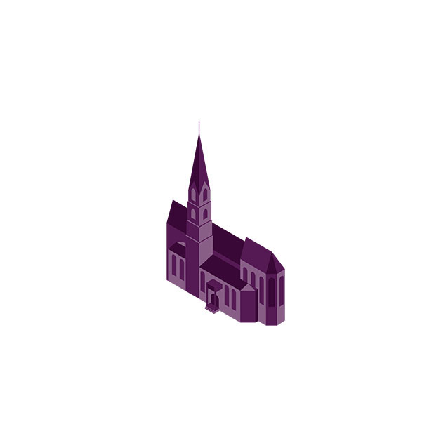
The project started out as an isometric illustration of the city – now it's an interactive map, fully responsive and optimized for mobile devices. The map let's you enjoy the beautiful views from the cities highest buildings. You can also have a peek into the possible future of Rottweil by 2028. By clicking on one of the pins, you can see before and after pictures of how the selected part of the city would look like if it wins the nationwide pitch for a horticultural show.
You can check it out here: rw2028.de
Project of the application here


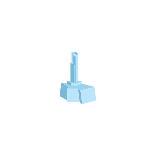


The map at full scale

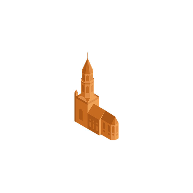
Maximum zoom level

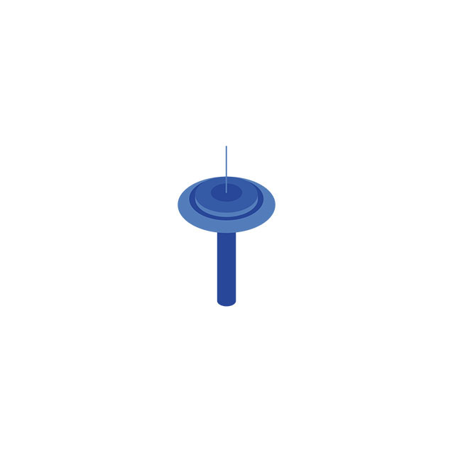
Pop-up card


The map has been created with cross-platform use in mind, running on desktops and touch devices alike. It consists of close to 4000 lines of code, written in HTML5, canvas and jQuery.


