


Maptorian is a vector maps collection designed to easily create your own map projects for personal or commercial use without any restriction, for graphic designers, journalists, students and people who need to create maps easily and quickly. With the Maptorian layered vector maps, you can make your own maps easily and quickly. You can use Maptorian vector maps to create all the maps you want, both for personal and commercial use. The maps created from Maptorian can be used for any purpose.

Everything in Maptorian is editable. The distribution of thematic layers is designed to quickly create different types of maps through their activation and deactivation, arrangement or its edition. All is editable: the lines, polygons, colors, text, fonts… everything can be changed easily to reach the desired map, without leaving your favorite vector drawing program and without having to resort to complex mapping tools.


The 2018 edition of Maptorian is now available. It is not just another update, but a complete renovation of the maps. Take advantage of the offer to get the best collection of vector maps. The maps contained in this new edition are described below. Digital download – Fully editable and scalable. You can use Maptorian vector maps to create all the maps you want, both for personal and commercial use. Maps created from Maptorian can be used for any purpose.
2018 EDITION
Complete updating (revision of labels, new layers, new maps and error correction).
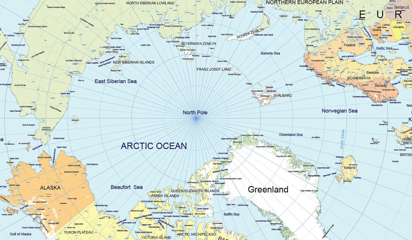
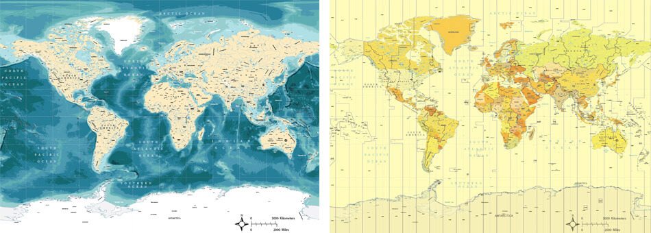
New maps of the world with two detail levels (hight detail and medium detail).
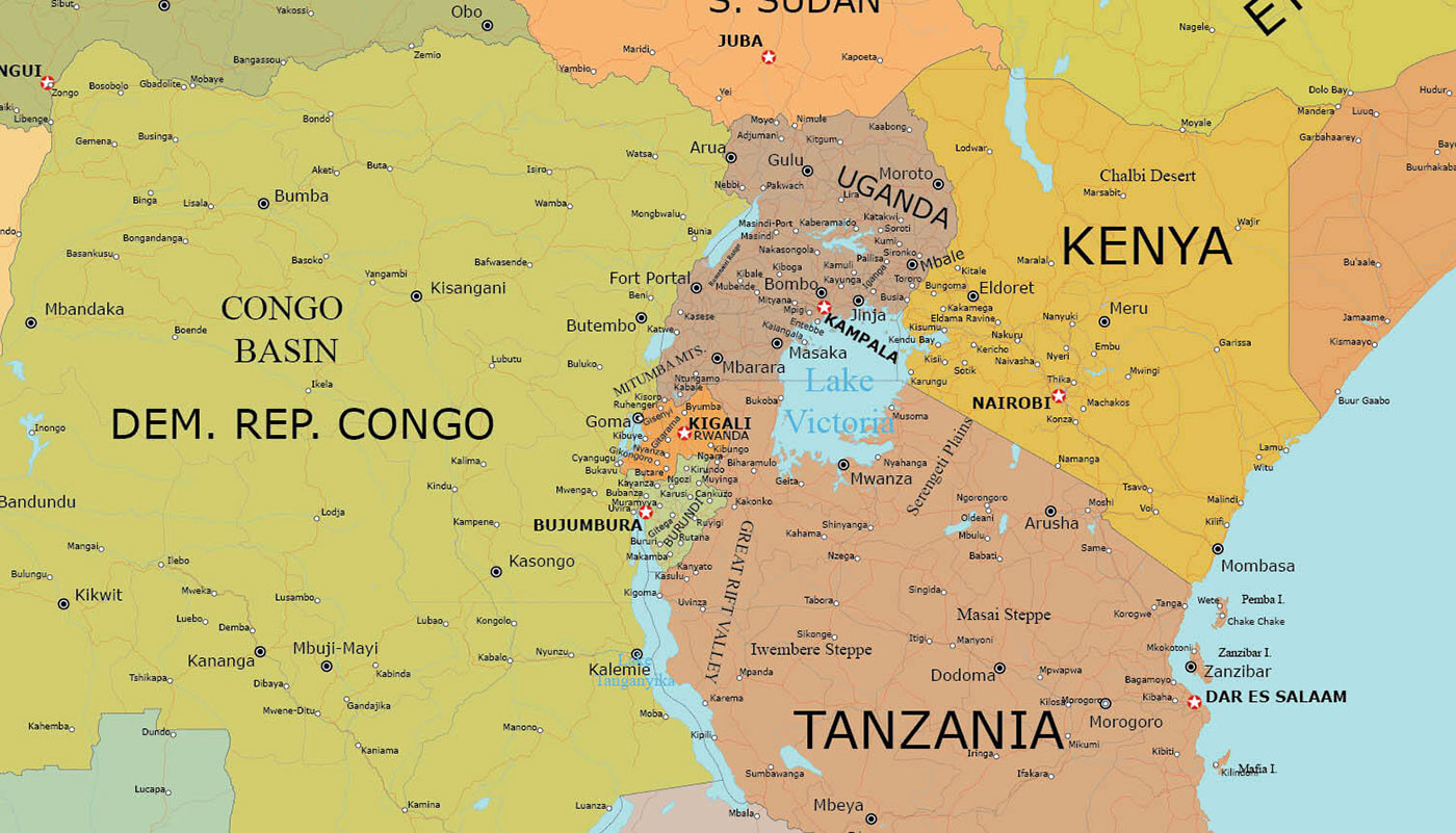
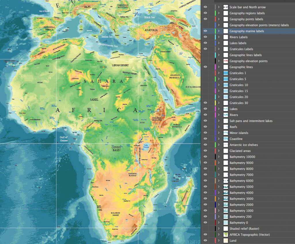
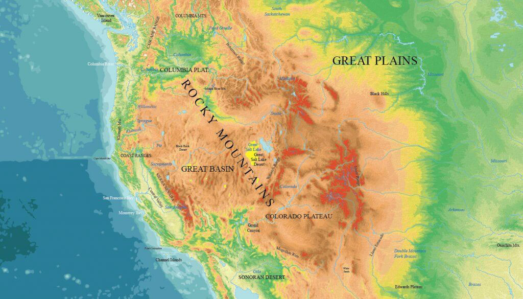
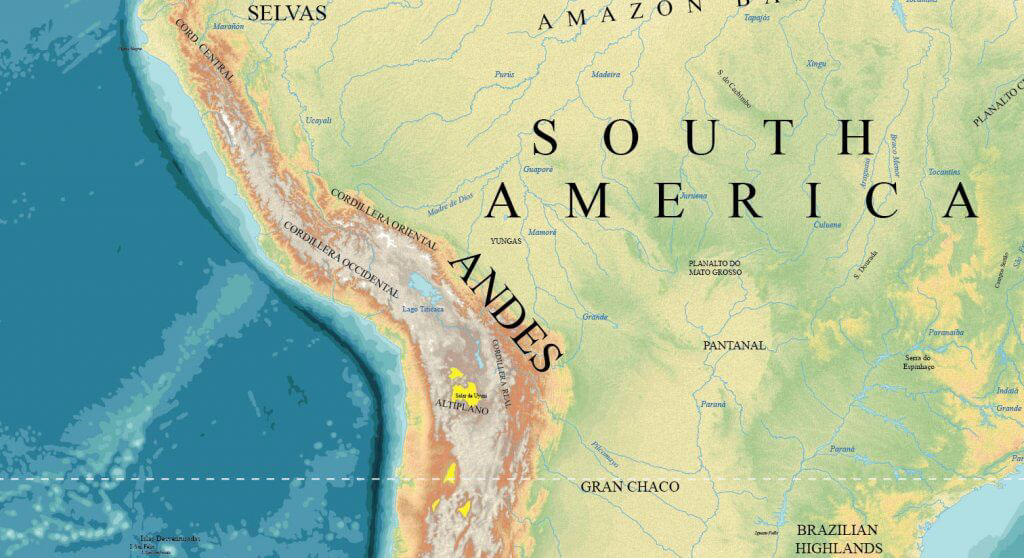
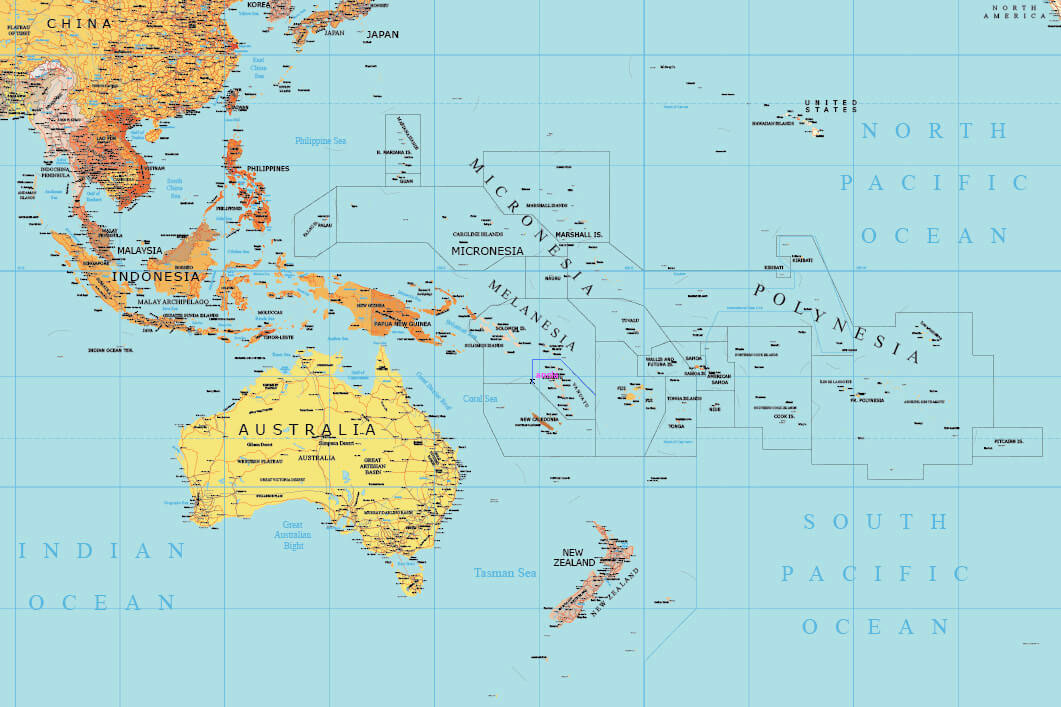
New continental and regional maps (Africa, Asia, Oceania, Europe, America, USA high detail maps). New layers (Scale bar, North arrow, Topographic vector layers, World capitals, USA states, US state capitals, Administrative divisions by country: states, regions…). Renamed sublayers (label for each country in the world’s country layer).
Sovereign states flags (vector, fully editable) and world map with flags.
New vector topographic maps of the world.
THIS PACK CONTAINS:
VECTOR WORLD MAPS (High detail – 12 maps) + CONTINENTAL HIGH DETAIL MAPS (Ameria, USA, Europe, Asia, Africa, Oceania and polar maps – 12 + additional maps) + VECTOR WORLD MAPS PACK (Medium detail or lite edition – 50 + additional maps) + TOPOGRAPHIC VECTOR MAPS (Pack – 11 maps). (Digital download).


