
Entering the ice cap.

On our way to the Grímsvötn's caldera, with my friend Björn Hróarsson - August 2, 2016.

18 hours of driving on the ice cap.

On the frindge of the Grímsvötn's caldera.
On the rim of the caldera - the car give the size.

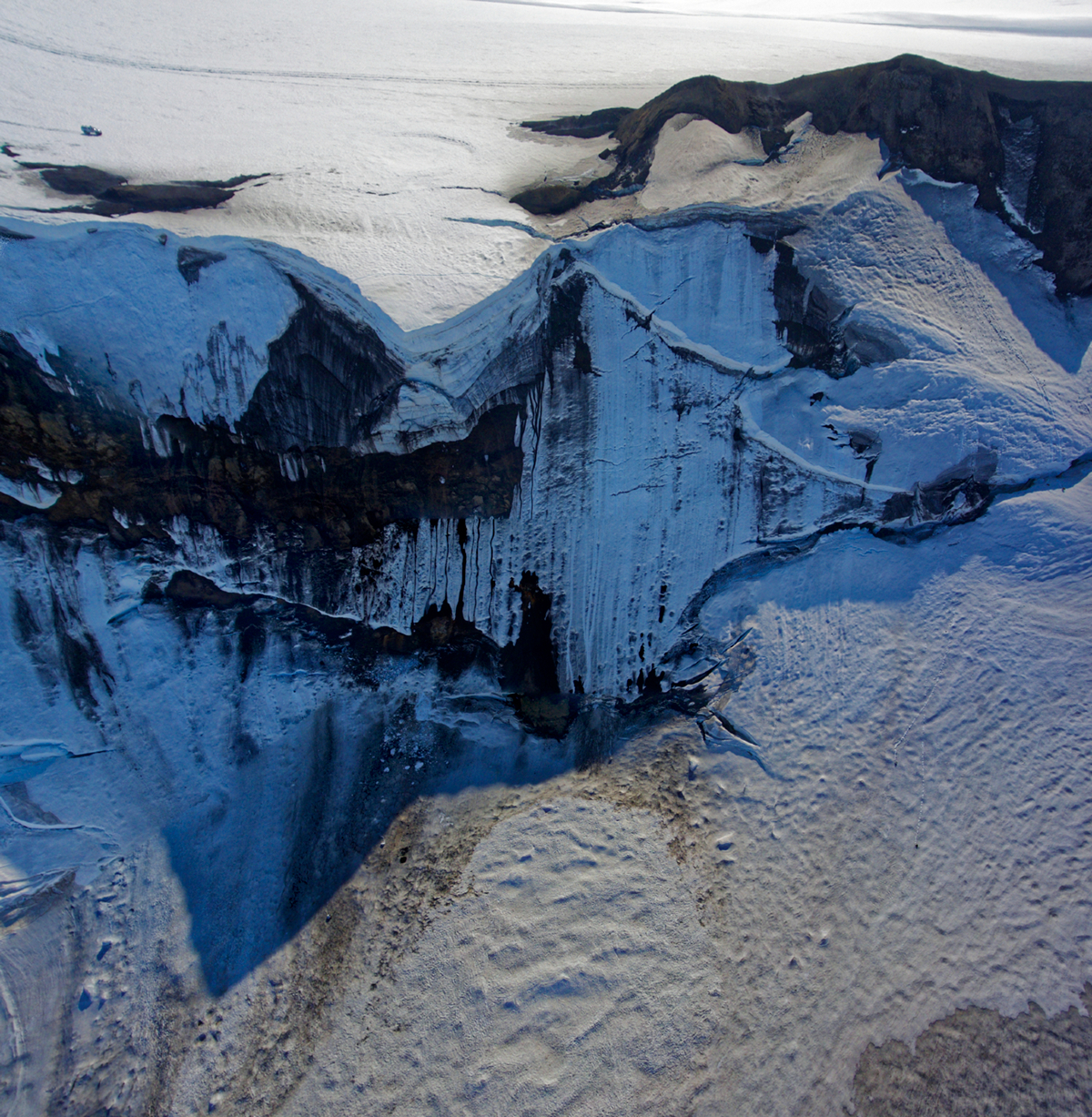
Picture of the caldeira rim - taken by drone.

Looking West (drone image)

Looking East (drone image)
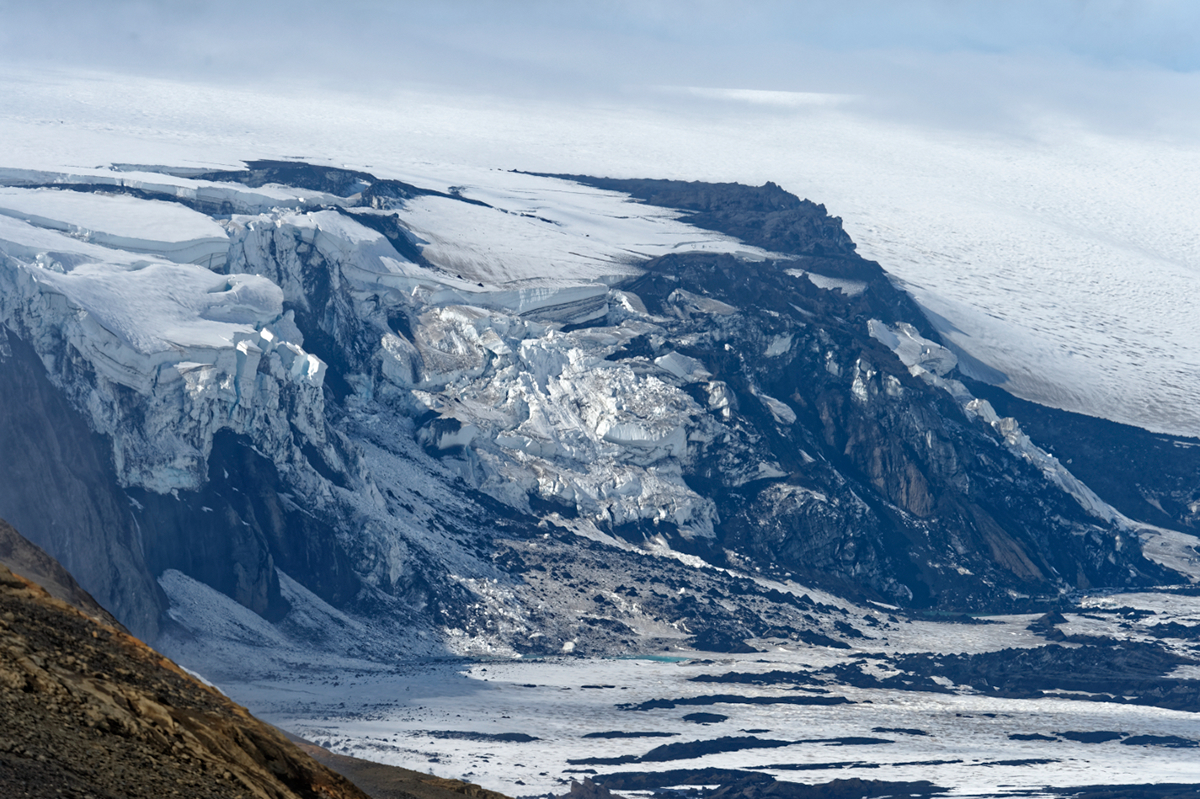

Global view of the caldera.


On our way back, crossing small ice cracks with 'Extreme Iceland 1'.
Grímsvötn is a volcano in South-East Iceland. It is located in the northwestern side of the Vatnajökull ice-cap. The caldera is at 64°25′N 17°20′W, at an elevation of 1,725 m.