Date: April 2016 · Client: US Department of the Interior · Skills: UX, UI Design, Pattern Library

Challenge
The Bureau of Land Management sought to develop a significant IT investment initially known as the Geospatial Publication Module, now Navigator. BLM's prior delivery system for public geospatial data, GeoCommunicator was antiquated and no longer supported. Navigator needed to leverage and enhance the Bureau's existing enterprise GIS infrastructure investments and broad-based employee expertise with ESRI's ArcGIS platform.
Action
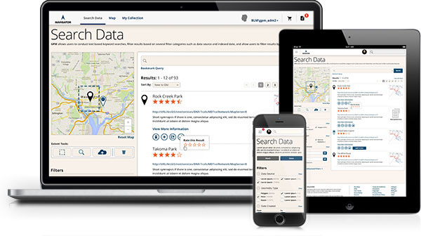
The primary purpose of the Navigator investment is the publication of geospatial and geospatially referenced information both internal and external users to a single, easily locatable and web-based access point. Navigator will provide BLM internal and external users with a simple, easy-to-use, Google-like viewer for accessing BLM information. Navigator will also offer users the ability to mash-up, or combine data and then share with others using social media.
Results
After several successful usability sessions, Navigator is in the midst of a four-month Beta period. After final tweaks and more feedback, the final release will be live September 2016.

The Process
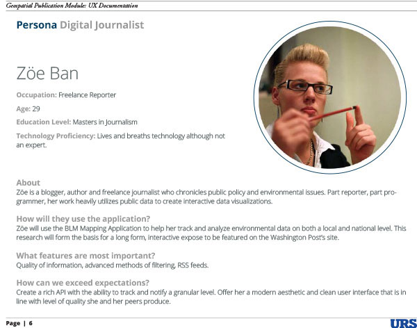
Personas
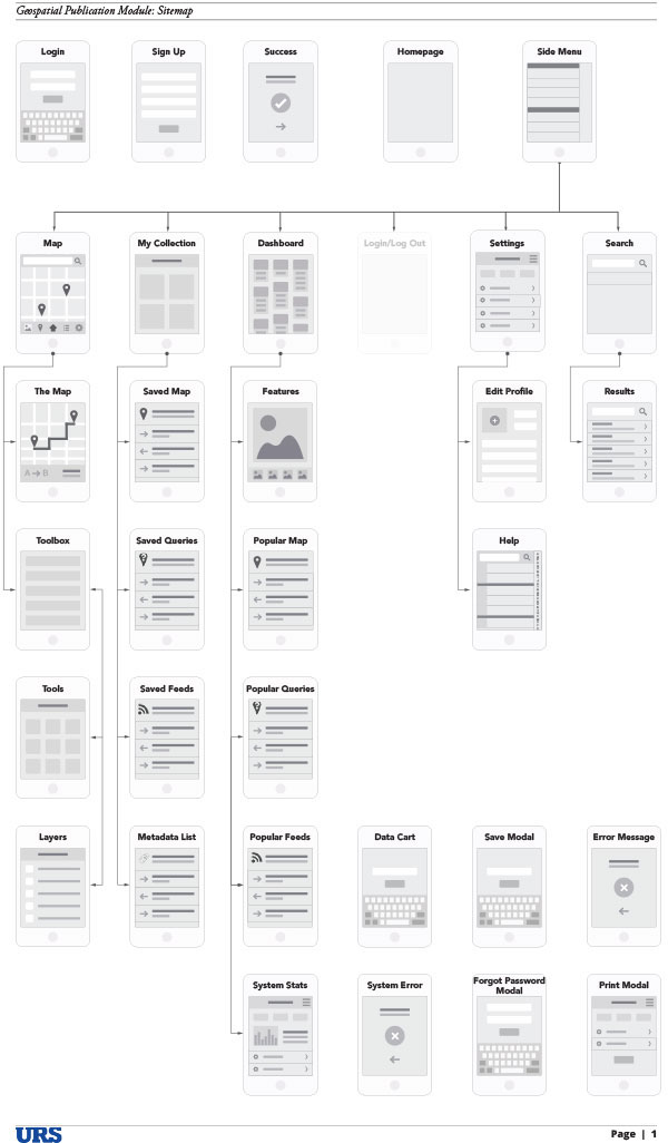
Sitemap
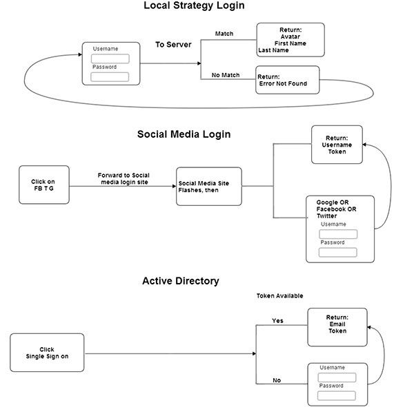
User Work Flow
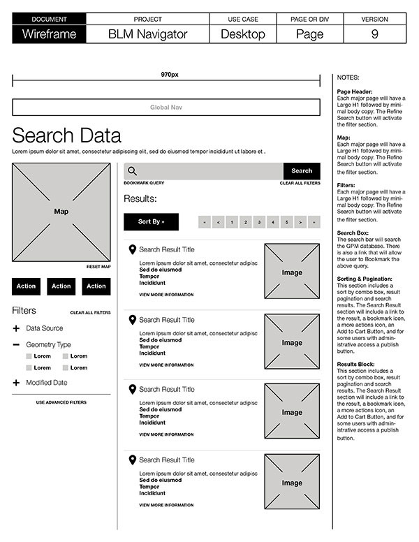
Wireframes

Usability Testing


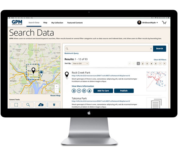
The Application


Documentation
BLM Navigator Style Guide

Annotated Wires

BLM Navigators Annotated Actions

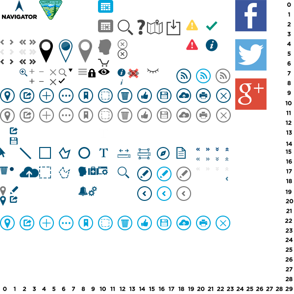
Master Sprite (part of the Pattern Library)