Below is a series of imagery derived from LiDAR data representing more classical elevation colours used in mapping. All images use only 1m DEM and DSM derived from LiDAR. Hillshading is derived from 1m DSM . Nothing else. Colour levels are determined by the elevation of the 1m DEM.
- Original DEM and DSM can be download via the LINZ Data Service at: https://data.linz.govt.nz/
- LiDAR was orignally contracted for collection by Auckland City Council.

Puhinui Reserve
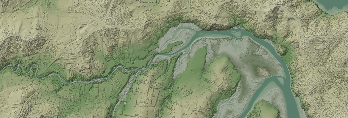
Weiti River

Mangere

Auckland Region - Isthmus

Mahurangi

