Earthquake Data Visualization
Completed in 2010
Digital
Created using R, Google Earth
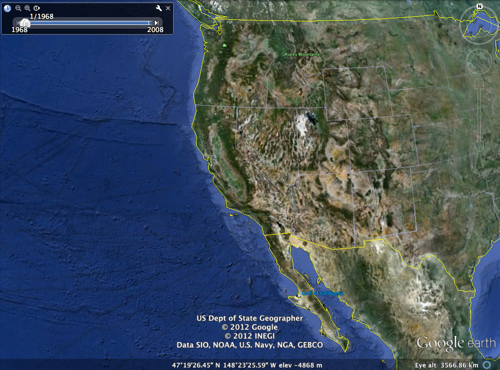
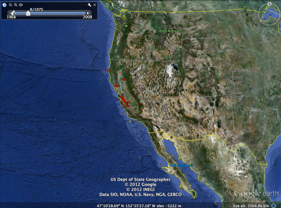
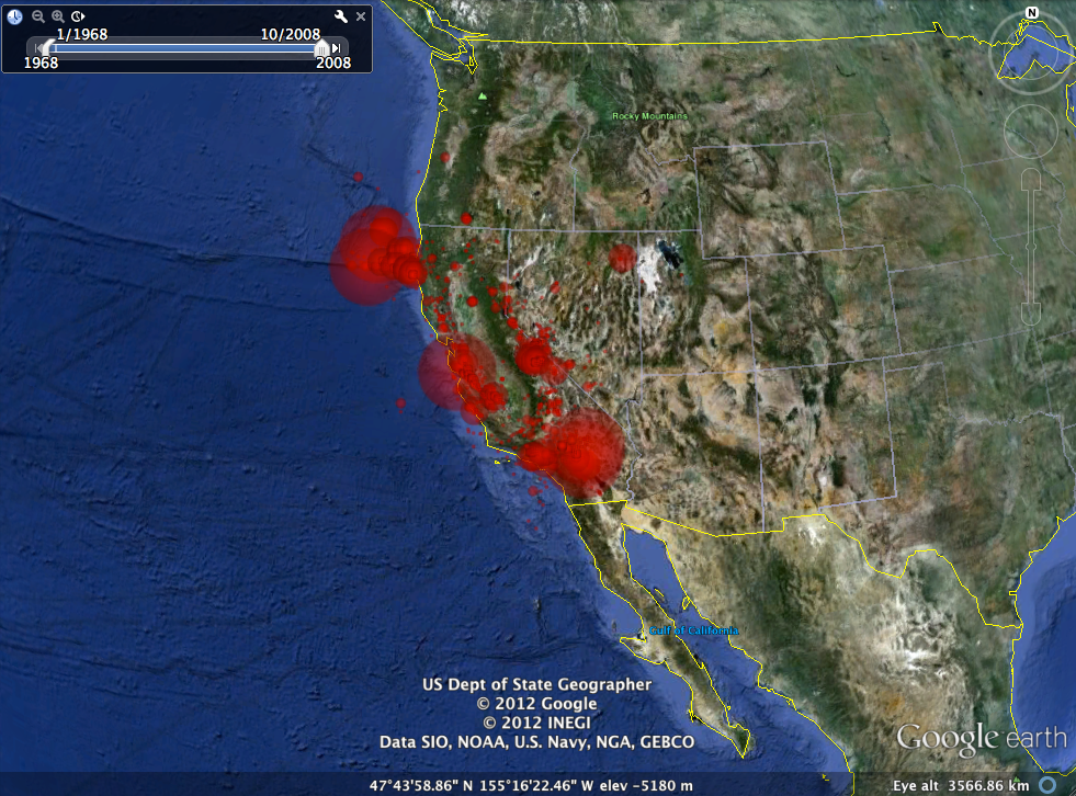
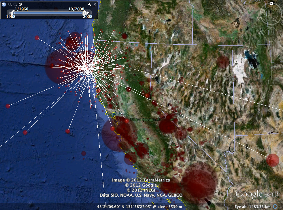
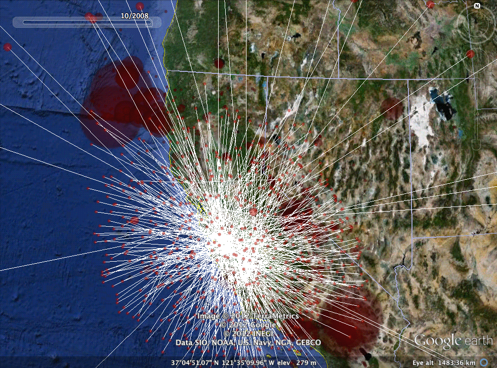
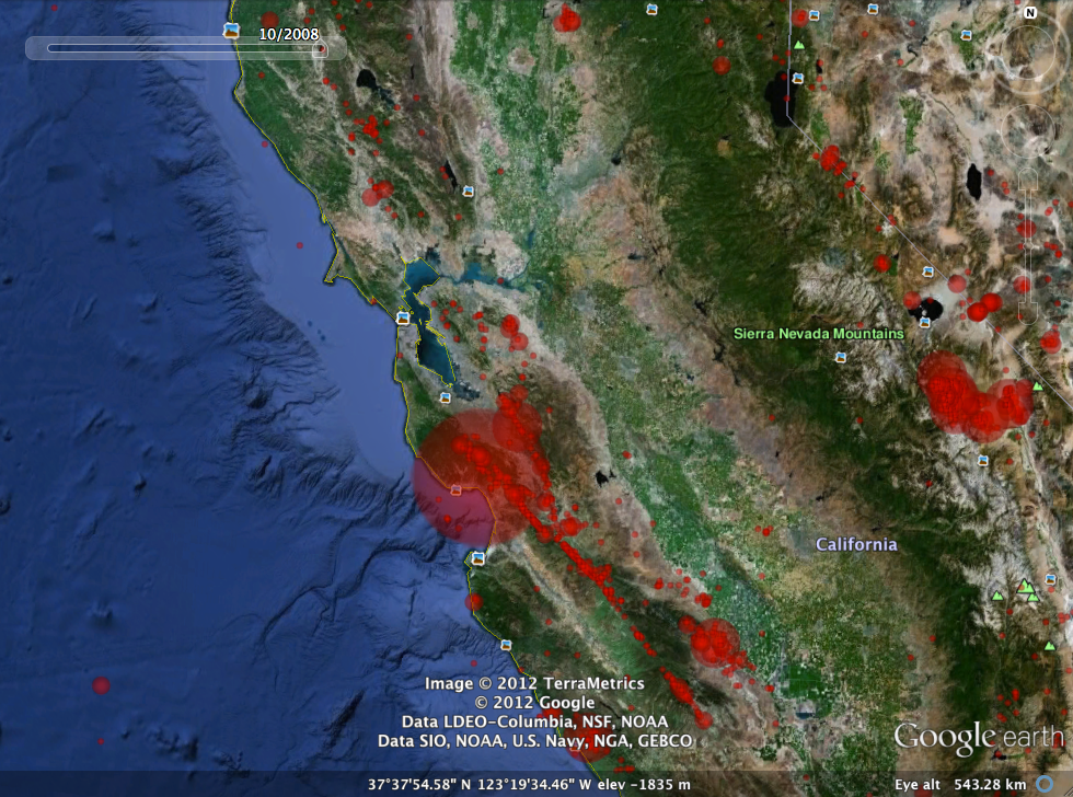
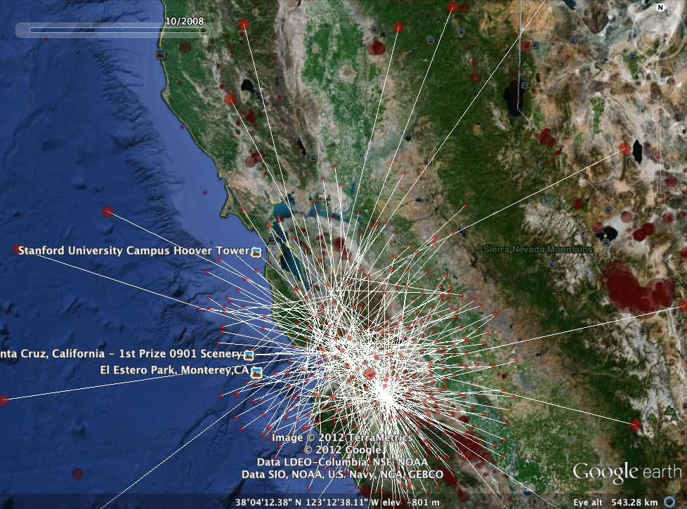
During my Fall 2010 semester at UC Berkeley, I took Stat 133 - Computing with Data, a class that focused on the R programming language. One of our assignments was to visualize all earthquakes in California from 1968 to 2008, representing earthquakes with red circles whose sizes correlated with magnitude. The following images show the final, functioning KML file in Google Earth.