Freeriding is becoming more and more popular. More and more people leave the prepared tracks with their skis and snowboards and enter the alpine backcountry. The dangers occurring there are underestimated in many cases, especially the wrong evaluation of the avalanche danger even by expert sportsmen cause severe accidents again and again. The knowledge would be present, but in case of emergency many people make the wrong decisions or underestimate the risk. A medium without any emotions would be needed, which tells you, based only on facts, where to ski with low risk in comparison to the present avalanche danger. A solution could be a smartphone application, because you always keep it with you.
The freeride-app “Ullr” is based on the latest avalanche report and shows it the user with colours on a satellite map with topographic elements where the avalanche risk is too high or appropriate and, according to this, where you can ride. Two other features let you track and follow lines. In order to avoid to always look at your smartphone, the last features are done via headphones. The goal of “Ullr” is, besides the normal equipment and preparation, to make freeriding safer.
Thesis Project at the Faculty of Design and Art, Free University of Bozen Bolzano, Italy
Supervisors: Christian Upmeier, Paul Thuile
Supervisors: Christian Upmeier, Paul Thuile
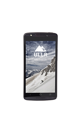
The application's name "Ullr" come from "ullar" the Norvegian god of skiing.
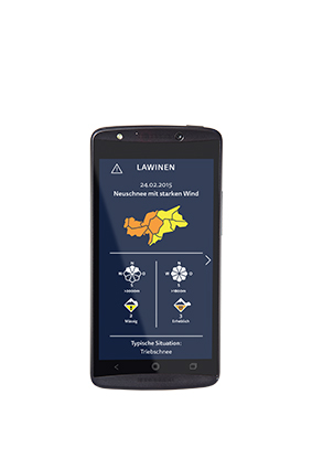
"Ullr" is based on the daily avalanche report.

Thanks to this database it can visualize dangerous avalanche areas nearby you.
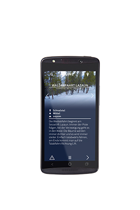
It also provides the possibility to upload and follow freeride tracks.
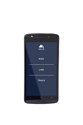
All these features are organised in the three functions of "Ullr": RIDE, LINE and TRACK.

RIDE shows you dangerous areas in the backcountry nearby your position and therefore helps you to avoid dangerous situations during freeriding.
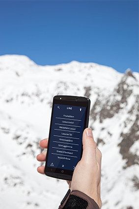
RIDE gives you the possibility to download other users' freeride tracks and to ski them, based on a audio navigation system. Together with the avalanche data it helps to avoid skiing lines in dangerous areas.

TRACK gives you the possibility to track and upload your own freeride lines and share them with other users.


