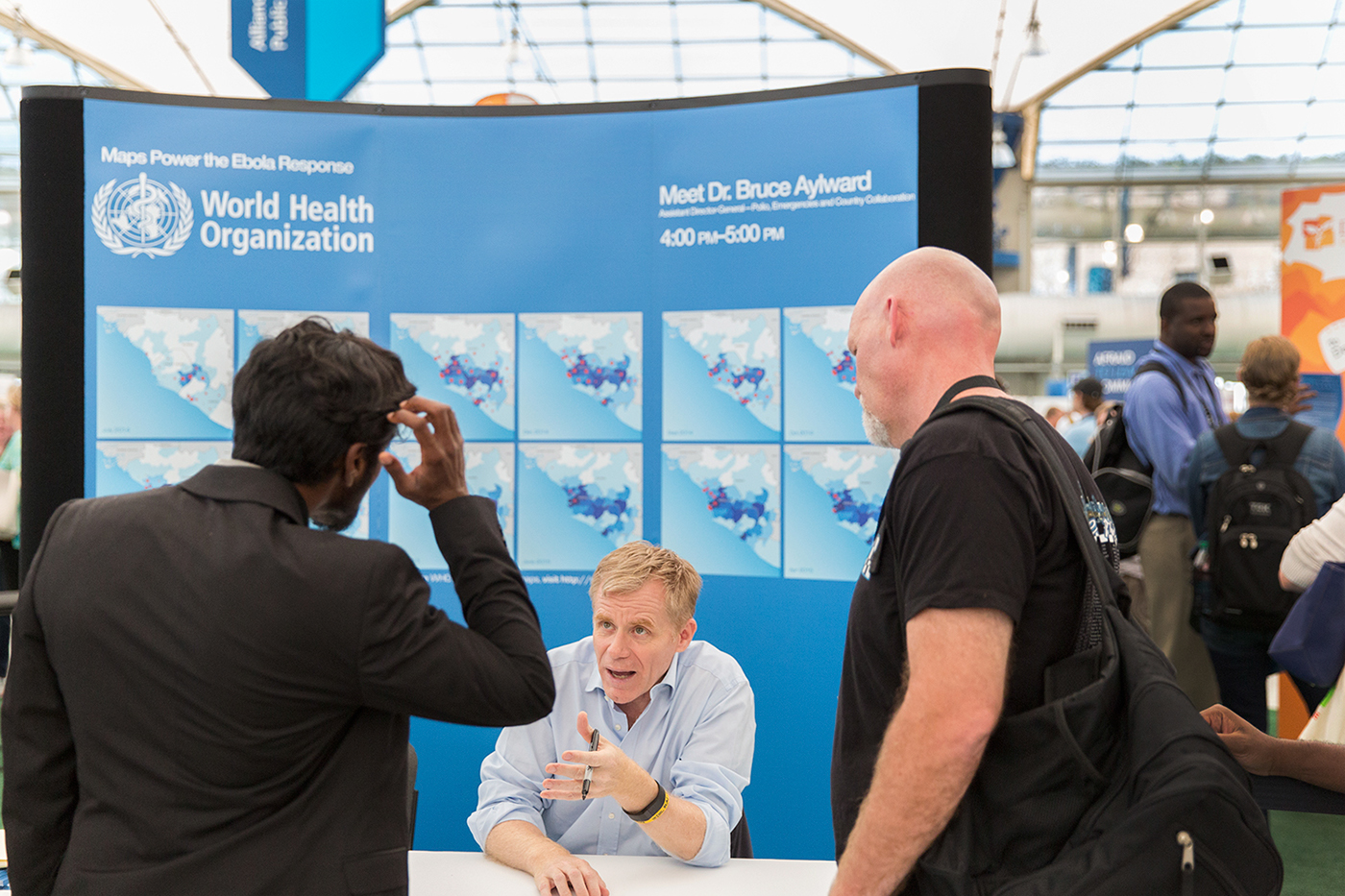
The spread of Ebola is slowing, thanks to the combined efforts of national governments, local communities, the World Health Organization, the United Nations, NGOs and many partners.
Dr Bruce Aylward, Assistant Director-General in charge of the World Health Organization’s Ebola response, has championed the use of GIS and web mapping to help combat the deadly pathogen: “I’ve witnessed first-hand the impact these technologies can have on the battle against a disease. I saw it first with polio: better mapping and GIS helped us push polio to the brink of eradication.
“Now we’re harnessing these technologies to guide the response to the Ebola outbreak in West Africa. We’re using it to give WHO and our partners a greater understanding of where the virus is, where it is spreading and where to direct our activities. But we haven’t won the battle against Ebola just yet. GIS and web mapping will play a critical role in bringing Ebola cases down to zero.”
To explore WHO’s Ebola response maps, visit http://maps.who.int

Poster was designed by myself for the 2015 User Conference. Hosted by esri.

Cartography and Copywriting credit: World Health Organization (W.H.O)
Photograph: Esri Photographer Eric Laycock


