This hand-painted watercolor map of Virgin Gorda, British Virgin Islands was designed to celebrate the untamed natural allure of a Caribbean gem. The composition aims to entice visitors arriving by sea in Spanish Town (via Virgin Gorda Yacht Harbour or the Ferry Terminal) to explore the island's vibrant culture and wander each of the unique National Parks.


West - Devils Bay (The Baths) National Park: a labyrinth of large boulders highlight this stunning geologic formation with trails that lead to the pristine beach of Devils Bay.
East - Copper Mine National Park: building footprints of the 19th-Century Copper Mine ruins overlook stunning views of the Caribbean Sea.
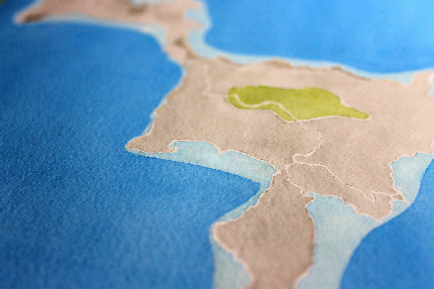
Hike-worthy trails sprawling through Gorda Peak National Park reward explorers with breathtaking views.
Coastline features and beaches (foreground to background): Long Bay, Nail Bay, Mountain Trunk Bay, Plum Tree Bay, Tetor Bay, Mahoe Bay.

Midground (left to right): Pond Bay, Savannah Bay, Little Dix Bay.
Thank you for viewing my work - I appreciate it! Explore more views of my hand-painted watercolor maps at: www.contour.es
Insight on my latest work, inspiration and adventures can be found on instagram, twitter & facebook.
All images are under the copyright of Lauren Wargo
Copyright © 2015 Lauren Wargo. All Rights Reserved.


