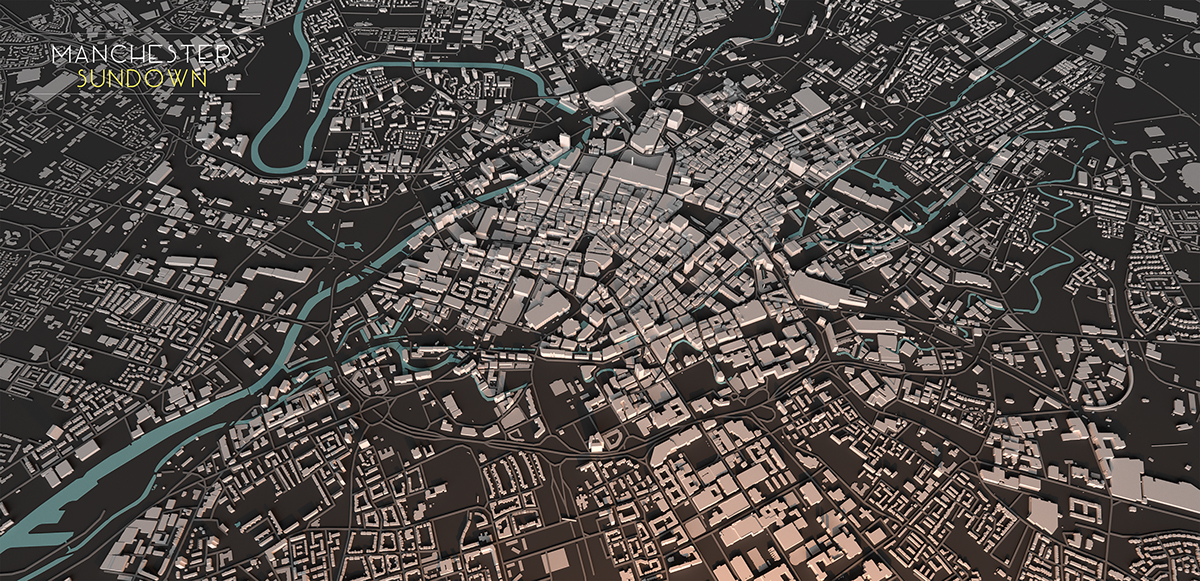
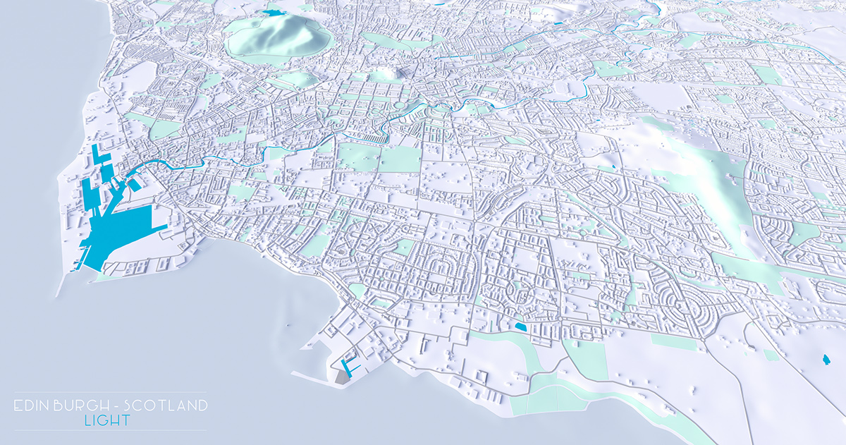
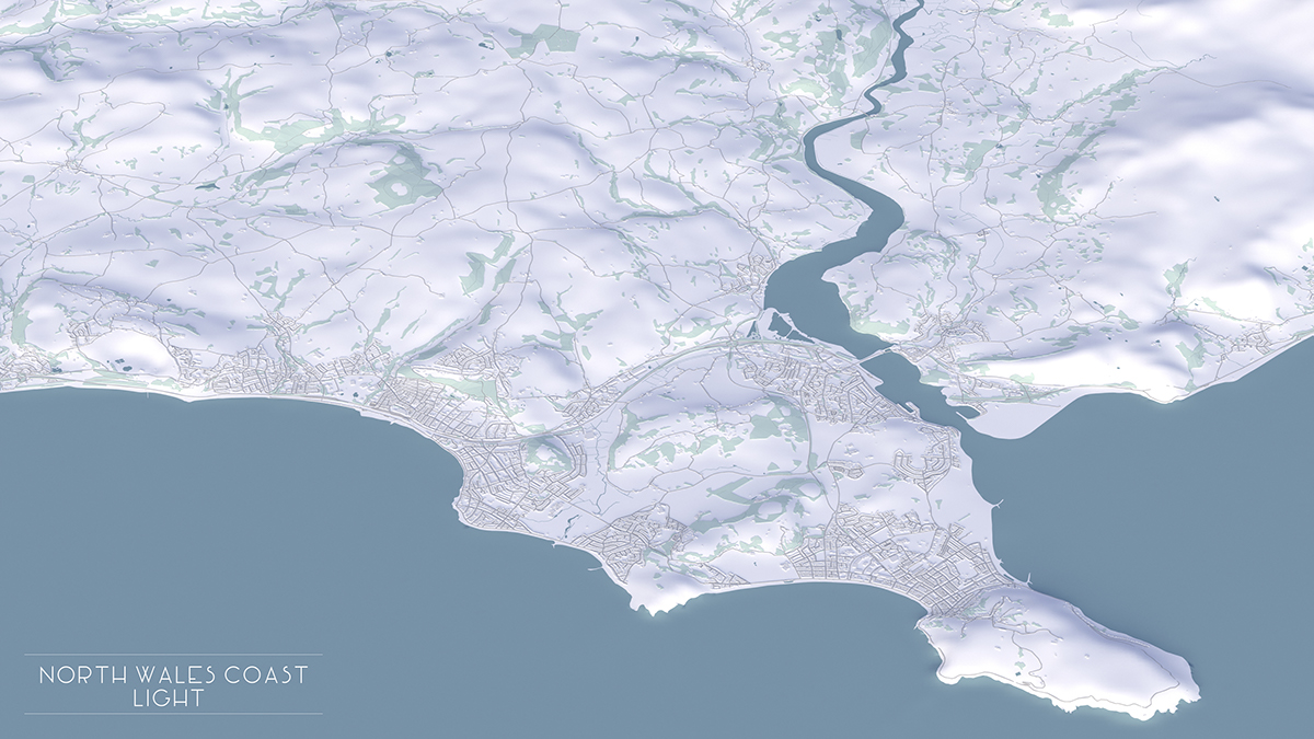
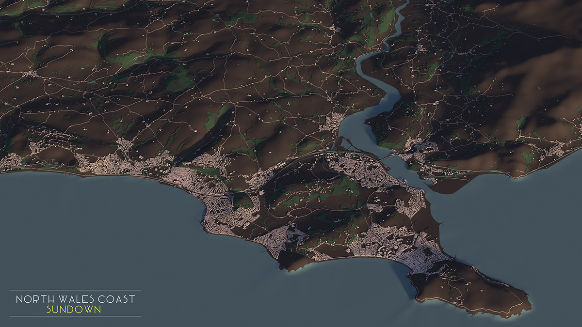
Inspired by Luis Diglers work on City Layouts (https://www.behance.net/gallery/24276859/City-Layouts) I decided to try and model various cities/towns in the UK I have either lived in or find interesting. Being a GIS Analyst much of my time revolves around modelling terrain and understanding the relationships between existing spatial assets within cities, towns, or as of lately large vast swathes of Saudi desert!
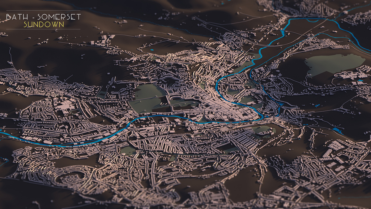
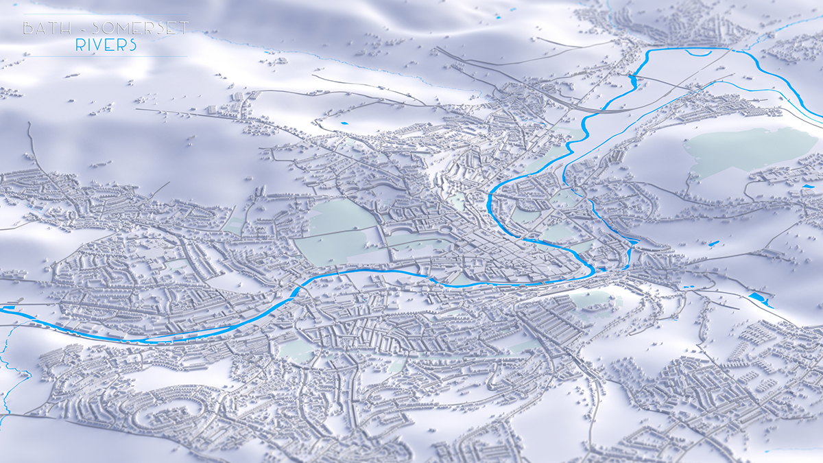
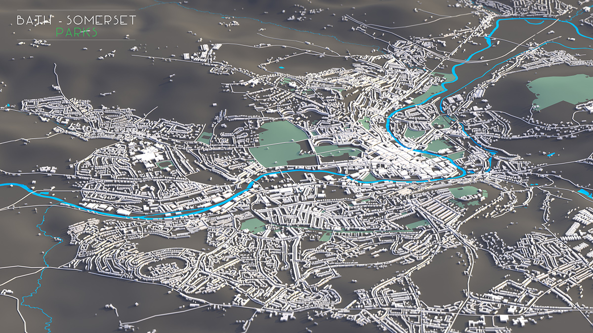
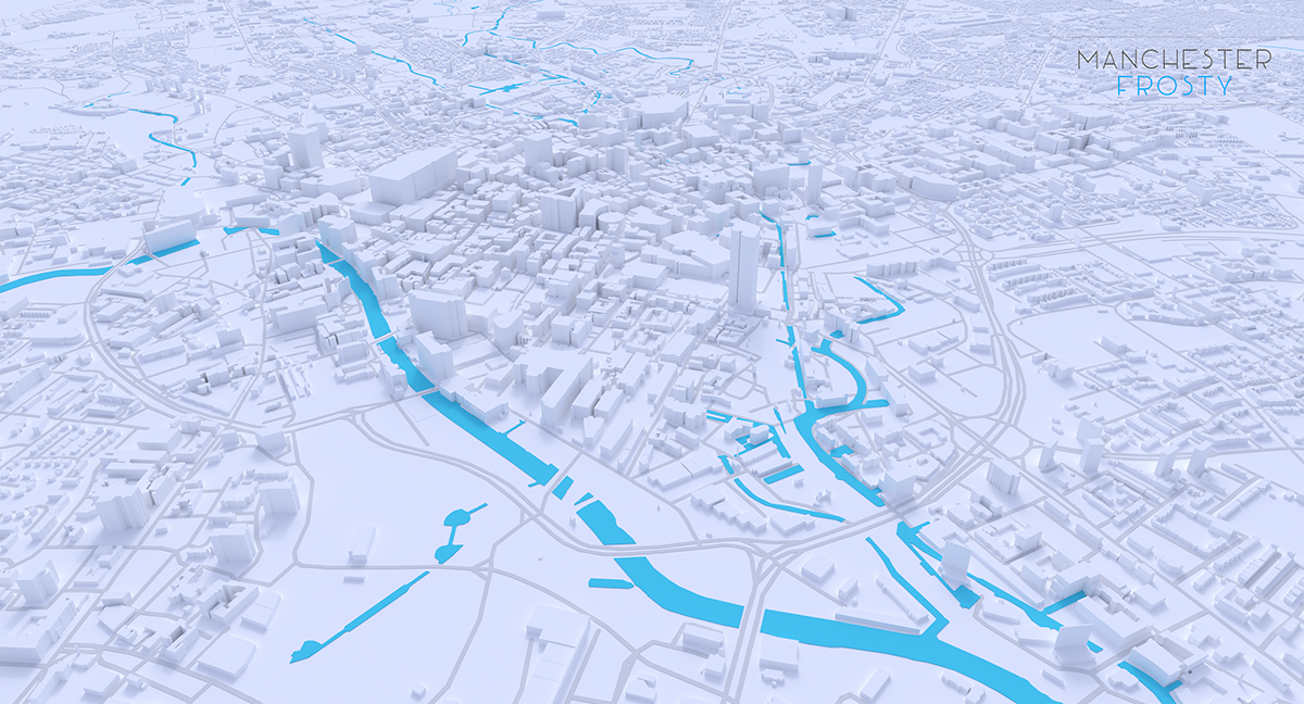
The following, whilst not analytical, is my attempt at simplifying urban/rural expanses by just modelling the built form, surface water, terrain, infrastructure and green open space. The results, whilst not entirely representative of how cities function, show urban/rural environments in a very simple conceptual form. Applying various HDRi lighting techniques makes these simple layouts look far more interesting.
I explored a variety of software from Blender - 3DS Max but being a GIS evangelist at heart processed the information in ESRI software. All information is supplied by either Open Street Map (OSM) or Ordnance Survey (OS) Open Local Plan.
Most of the examples below show building heights as one constant extruded height, primarily because OS height data is too expensive and the OSM community attribute data coverage is poor outside of major cities. I may come back to some of these and extrude them manually...
Some are better than others but seen as this is my first foray into 3d map art it would be good to get some feedback on how to improve them!