Meta 4
Publication Design
Publication Design
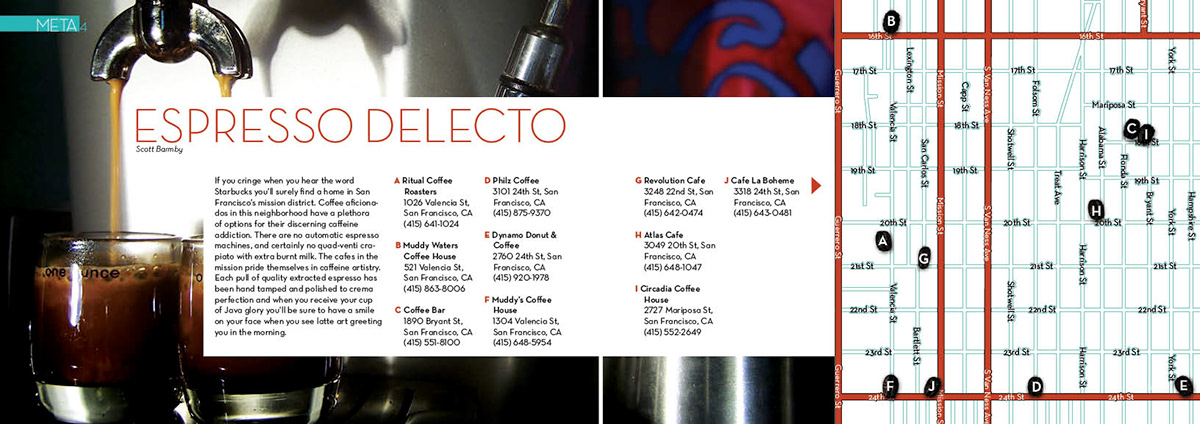
The principal thoroughfare of the Mission District of San Francisco is Mission Street. Its borders are U.S. Route 101 to the east which forms the boundary between the eastern portion of the district, known as "Inner Mission" and its eastern neighbor, Potrero Hill, while Sanchez Street separates the neighborhoods from Eureka Valley (also known as "The Castro") and Noe Valley to the west. The part of the neighborhood from Valencia Street to Dolores Street, north of 20th, is known as Mission Dolores. Cesar Chavez Street (formerly Army Street) is the southern border which lies next to Bernal Heights, while to the north the neighborhood is separated from South of Market roughly by Duboce Avenue and the elevated highway of the Central Freeway which runs above 13th Street. Also along Mission Street, further south-central are the Excelsior and Crocker-Amazon neighborhoods, sometimes referred to as the "Outer Mission" (not to be confused with the actual Outer Mission neighborhood). The Mission District is part of San Francisco's supervisorial districts 5, 9 and 10.


