
First, I extended the property line edges to gain a better understanding of how many lots were really effected by the gravity of Bayou Road cutting across the otherwise mostly orthogonal grid of the Seventh Ward and Treme
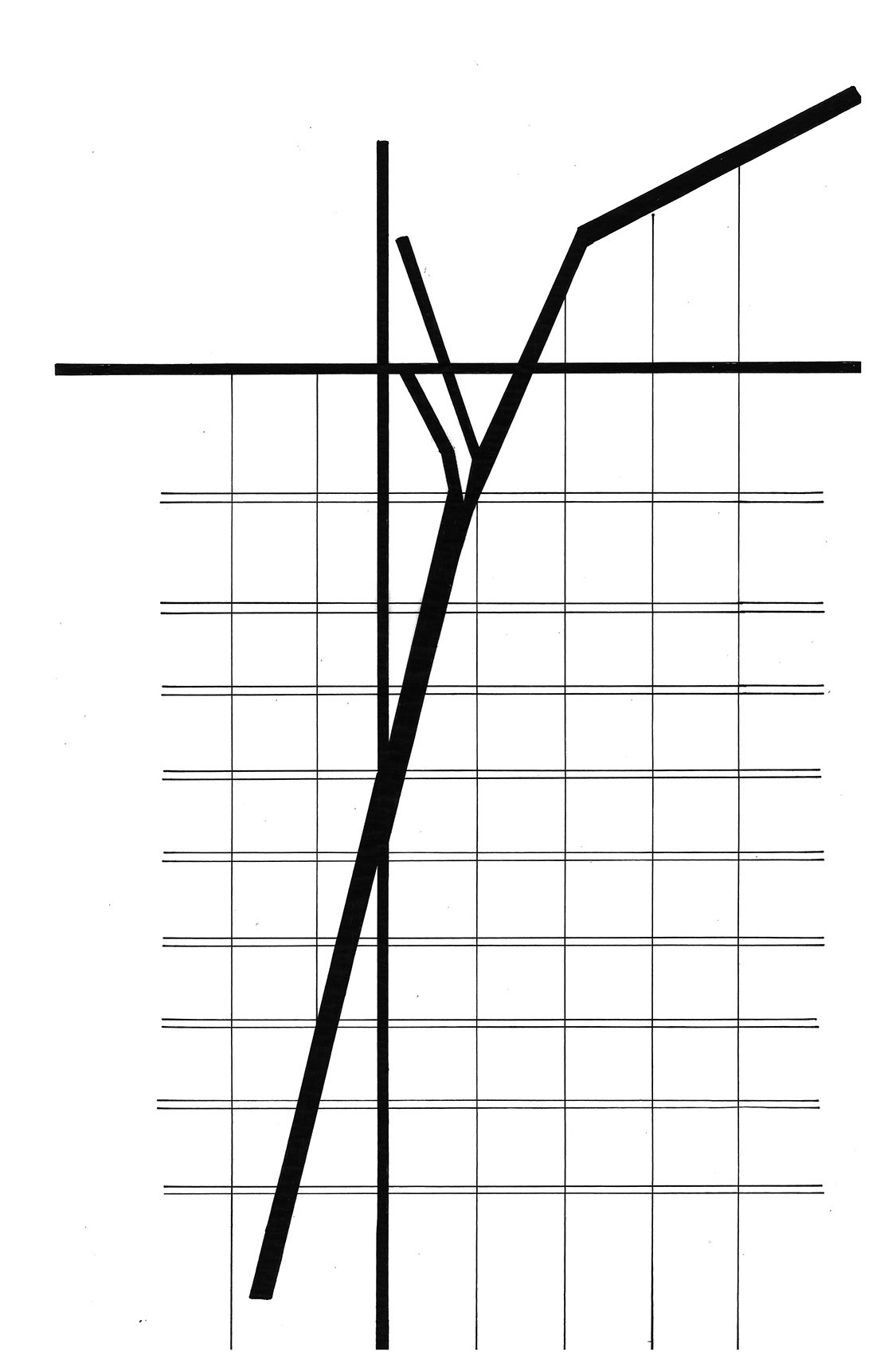
Then, I created a diagram to show hierarchy of roads and paths to better understand the build fabric's effect on the neighborhood.

Together, these diagrams created the base ideas for a model that was first drawn in an axonometric projection. Here it was important to use the third dimension to continue my parti of road hierarchy effecting property orientation.

The Final Model
