Veli Losinj is a small town on the island of Losinj, Adriatic sea, Croatia.
There were two tasks given. One was to create a detailed map of the town with all the information about interesting (mostly historical) spots in town.
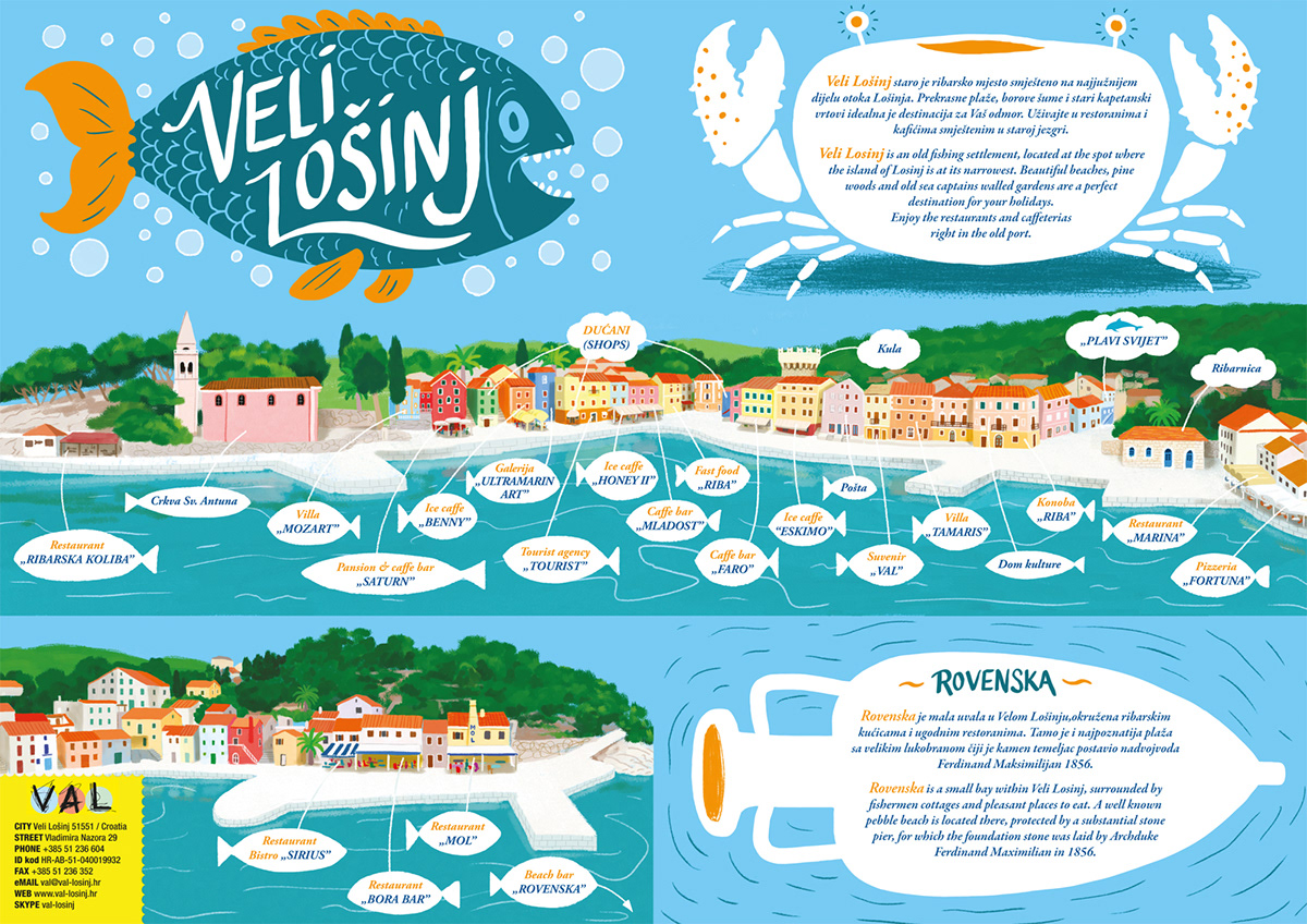
Another task was to make a special part that will include the information about most visited part of town which is the town harbor, filled with cafes, restaurants and other touristic objects.
I divided that part on two panoramas. One is the town harbor and the other one is a nearby harbor called Rovenska, visible on the main map.
Since the map is foldable, there needed to be some space for the cover and some space for general information about the harbors.
When the map is folded the cover is an illustration of a fish with the name of the town on it, and on the back side of the folded map is a white space in shape of a crabba that contains a short text about the town.
Fonts and text placing were done by Dinko Bece from BOROVAC i BENCE studio.


The other side of the map - unfolded