
Paris Facile is a project, started for my studies at the Webschoolfactory. This service aims to facilitate the journey of disabled people in Paris and help the municipality to know where public transport are insufficient.
This is my first project on behance, i hope you'll enjoy it ;)
This is my first project on behance, i hope you'll enjoy it ;)
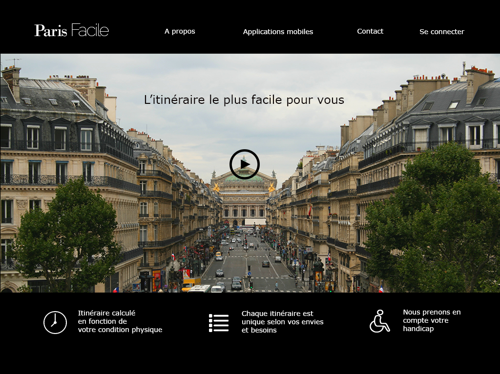
This is the homepage. There is a short video to present the service and its features.

This is the login page. You can crate an account on the website or use Facebook, Twitter or OpenID .
The benefits to be registered are indicated at the bottom of the page.
The benefits to be registered are indicated at the bottom of the page.
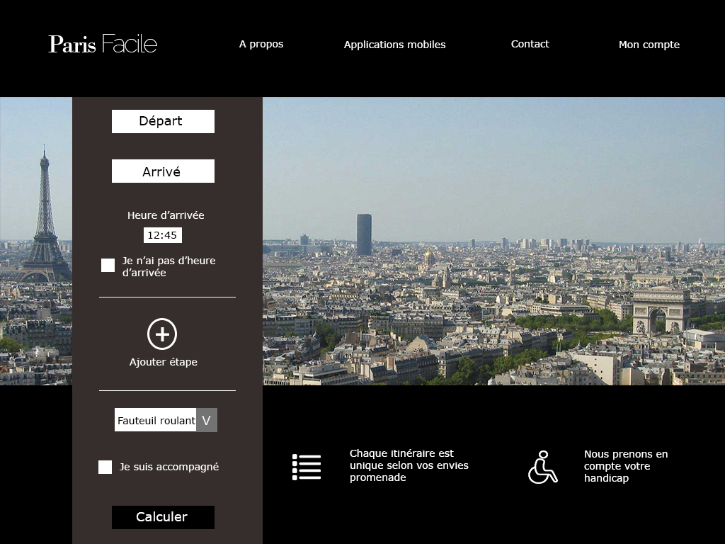
The main screen allows to calculate a route. You can specify your handicap, says if your are accompanied etc...

This is the result page. On the right, there is the journey's description. We use open data to accurately calculate the time required.
At the bottom right, user can look at the map. On the middle, we show the time saved by using Paris Facile instead of a traditionel mapping service. On the left there is a reminder to use the mobile app during the journey.
At the bottom right, user can look at the map. On the middle, we show the time saved by using Paris Facile instead of a traditionel mapping service. On the left there is a reminder to use the mobile app during the journey.
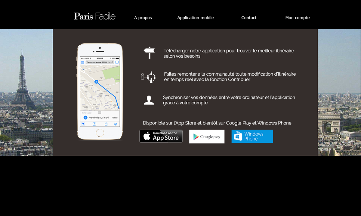
Mobile app's promotion page


This feature allow the user to notify something to the municipalty such as inaccessible sidewalk or a failure of elevator etc...

User can add a description of the problem and track the progress of its resolution.
