
Storm surge simulation, Jockey's Ridge, North Carolina.
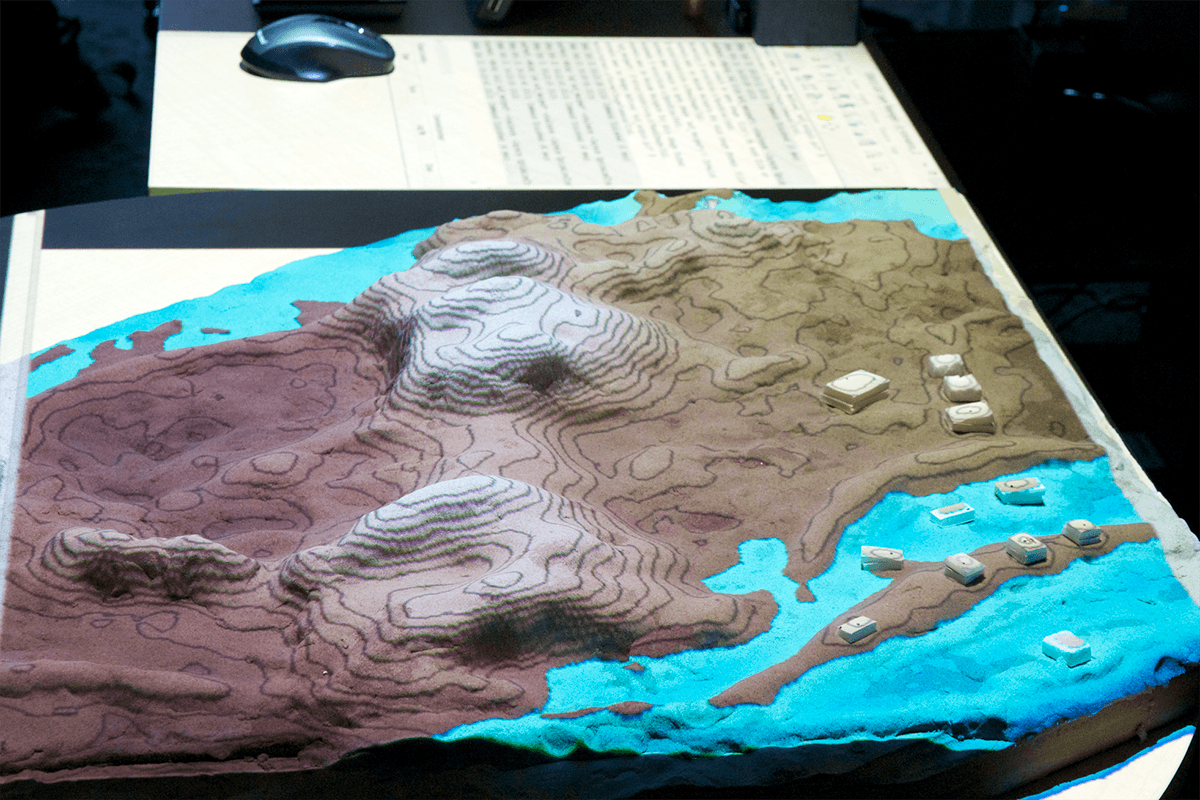
Storm surge simulation, Jockey's Ridge, North Carolina.
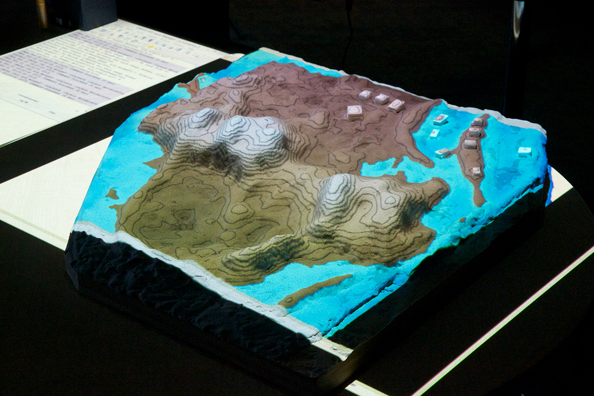
Storm surge simulation, Jockey's Ridge, North Carolina.

Slope analysis of the core dune, Jockey's Ridge, North Carolina.

Digital elevation model of the core dune, Jockey's Ridge, North Carolina.
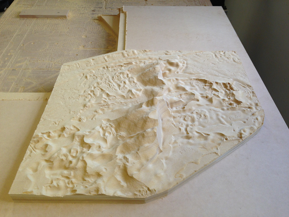
CNC model of the core dune, Jockey's Ridge, North Carolina.

CNC model of the core dune, Jockey's Ridge, North Carolina.

