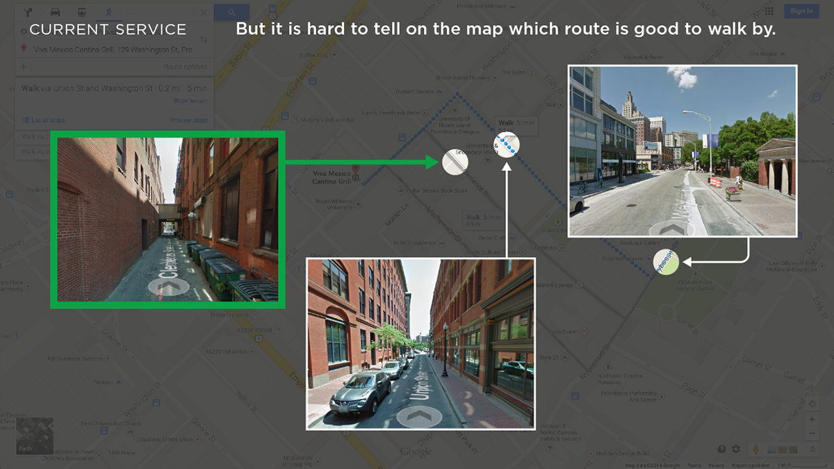
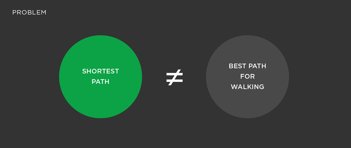
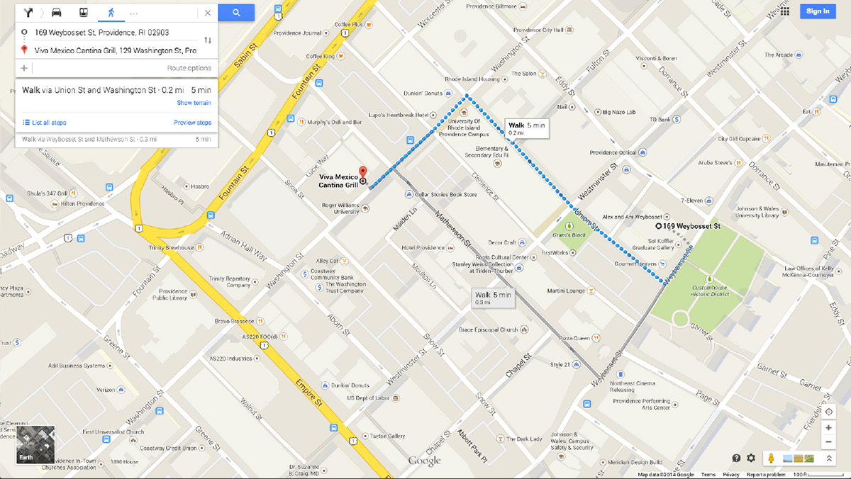
This project is about public safety in cities, especially of pedestrians. When a user search a route to his destination, Google Maps provides 3 shortest paths to the destination. But some suggestions may not be appropriate for pedestrians as they are narrow, dark and not many people pass by. So I suggest a way to improve user/pedestrian experience.
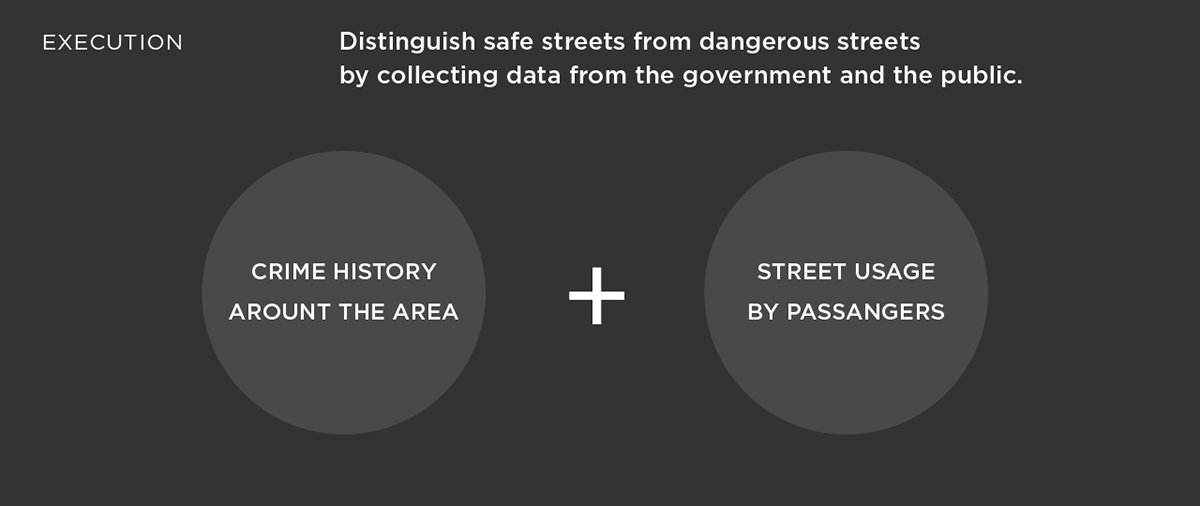
The city/the company hires citizens to record their movements in the city. With the collected data, the system counts how many people passed by each street. Based on this information and crime data, dangerous/suspicious streets can be excluded from the route search of the map. Also, the city can use this information to determine which streets need to be cared and improved.