LAND COVER ART
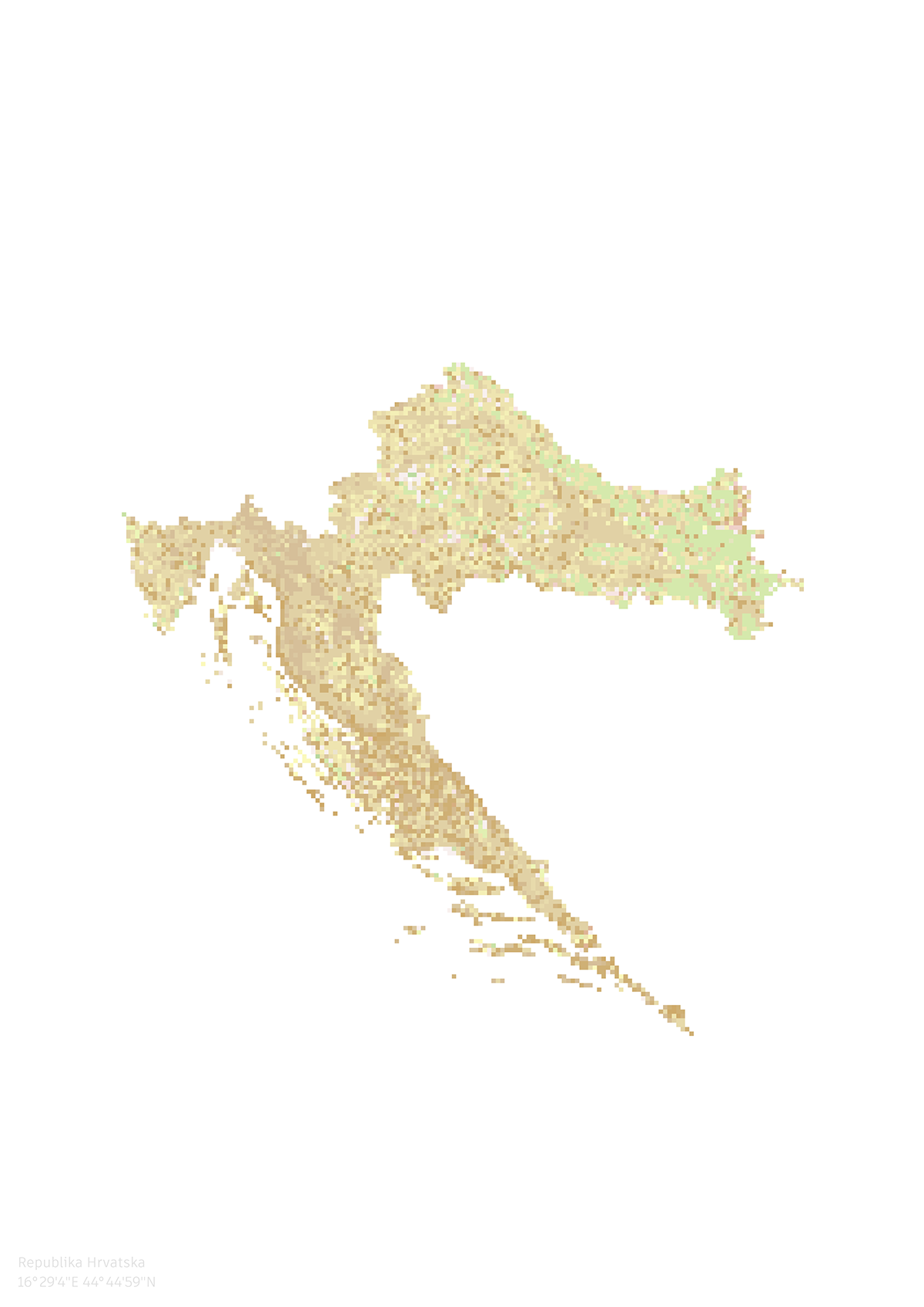
I made four maps of the use of the territory based on the CORINE land cover.
Maps are also an art. I wanted to show the individuality of each country through a multi-colored pixel grid. I chose the colors based on my associations and impressions.
I made it in poster format. If you would like to have one in good quality, just text me :)


thanks for watching!


