All Shapes & Sizes infographic posters
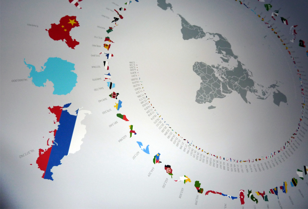
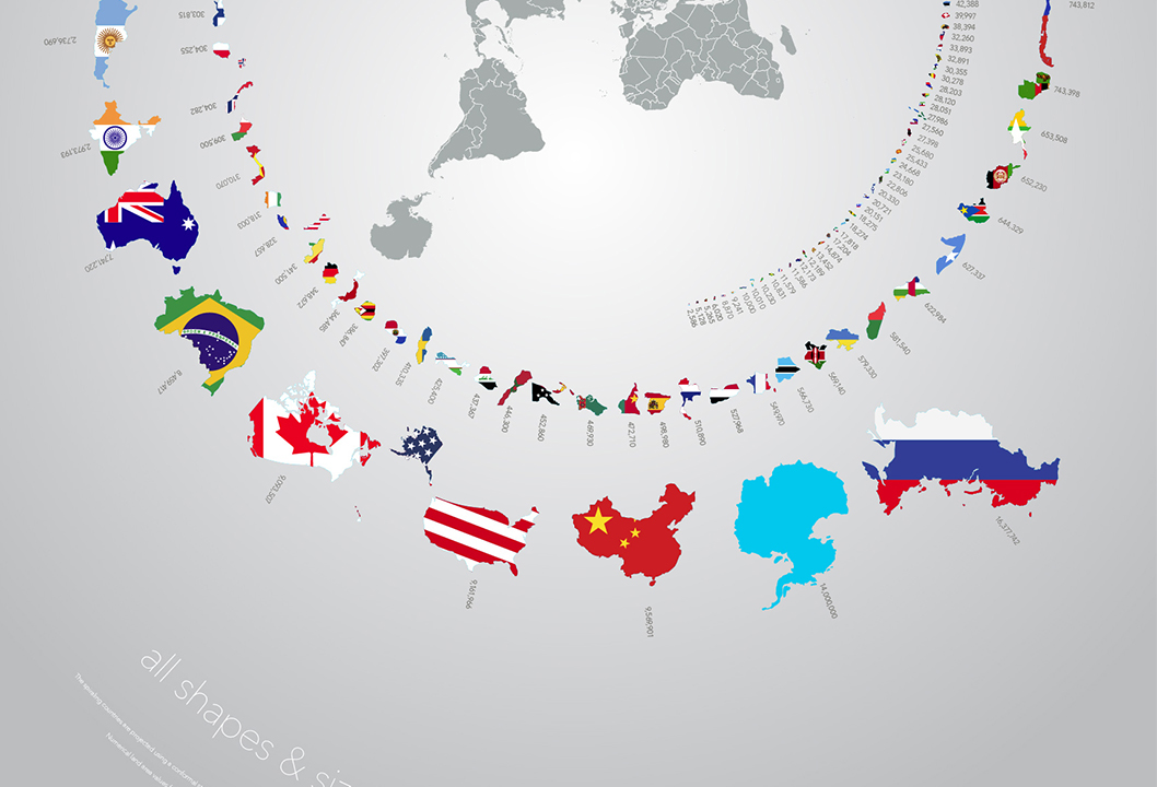
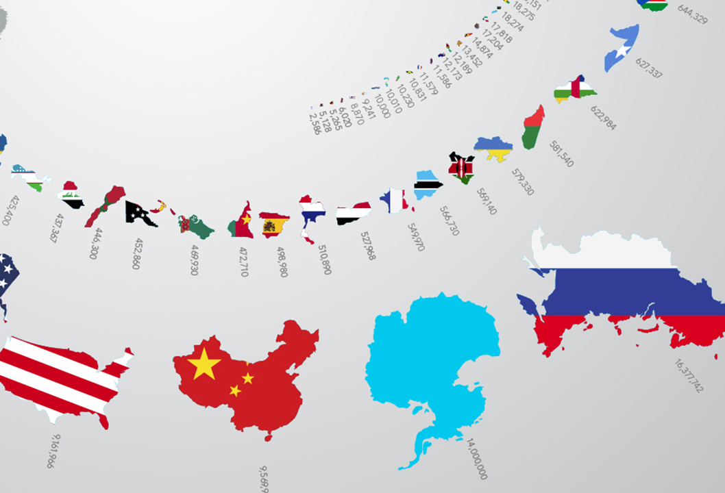
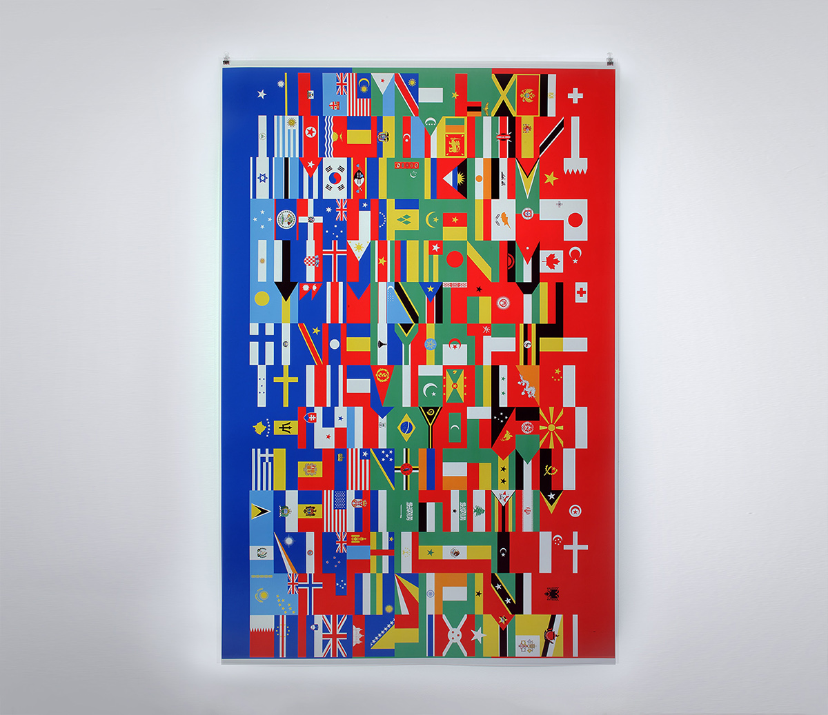
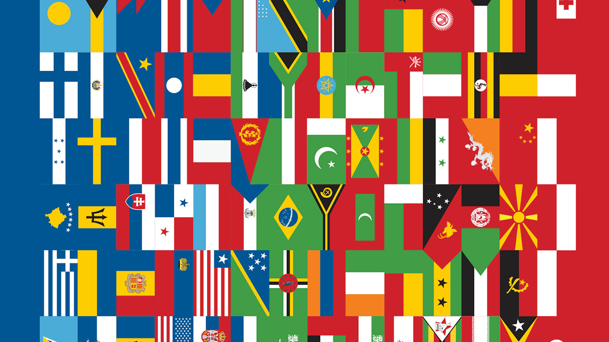
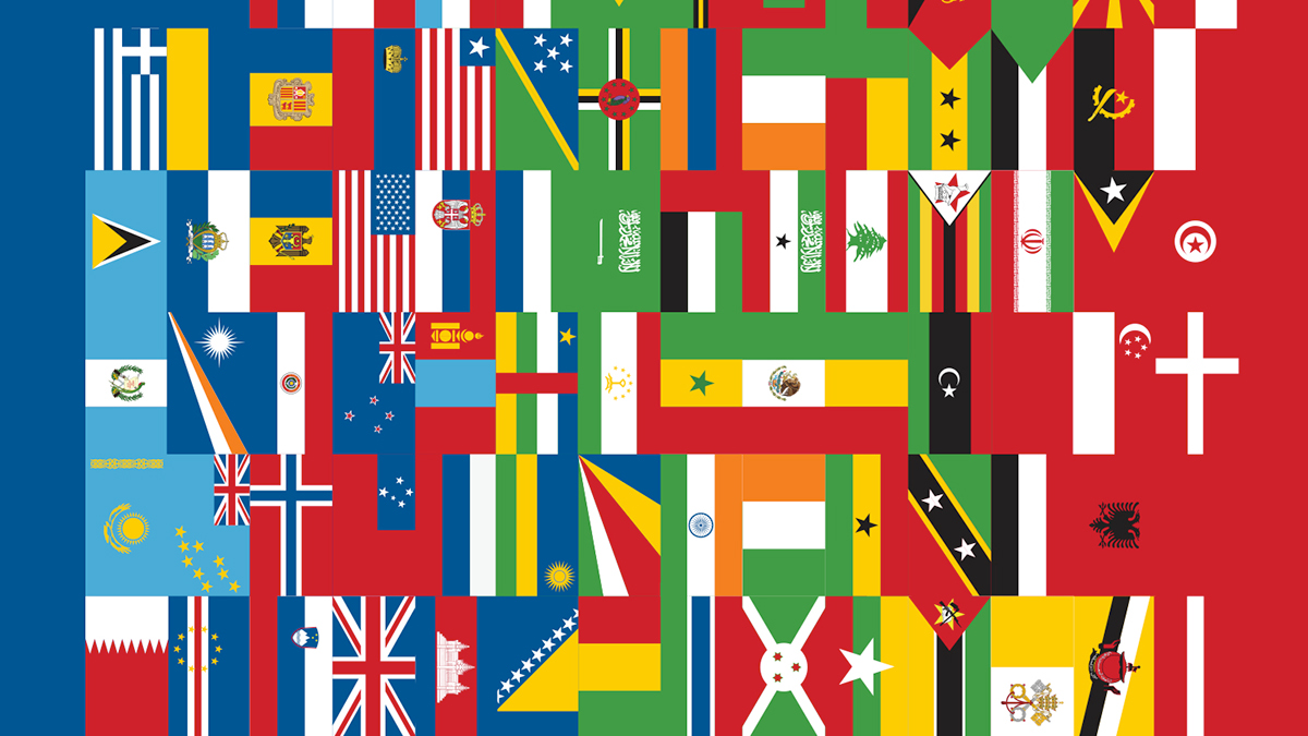
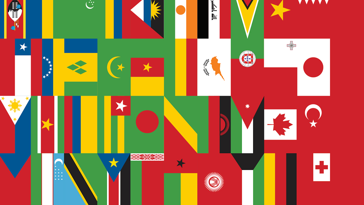
Graphic design/illustration infographic posters. Poster on the left shows sovereign countries and Antarctica organized by total land area in km² excluding inland water bodies. Poster on the right depicts all of the world political flags.
34 × 51 in digital graphic illustrations, printed on an Epson inkjet printer on enhanced matte cardstock paper.

Installation in the Drewelowe Gallery at the UI SAAH, February 2014.
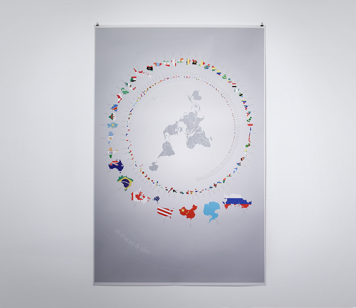
The spiraling countries are projected using a conformal stereographic projection, but have been rescaled to approximate relative land area. The central grey map is based on the Peirce Quincuncial projection. Numerical land area values from the World Factbook (www.cia.gov).