
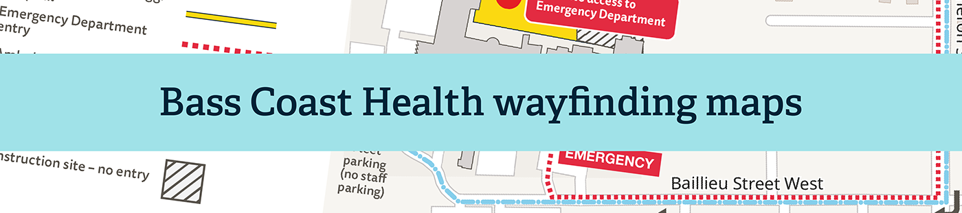
During construction of a new hospital expansion, Bass Coast Health in Victoria, Australia required a series of maps to help staff and patients navigate the hospital site. Arrangements changed as construction progressed, and as the health service grappled with the evolving impact of the COVID-19 pandemic.

I prepared a series of maps over time to help Bass Coast Health communicate these changes. To create the maps, I used a street map sourced from OpenStreetMap, which I heavily modified in Illustrator, as well as drone photography and site plans supplied by the health service. The final products were printed as hard copy flyers, published in local newspapers and posted on the Bass Coast Health website.

The maps were complemented by colour-coded wayfinding at the hospital site to help people navigate to their chosen destination.