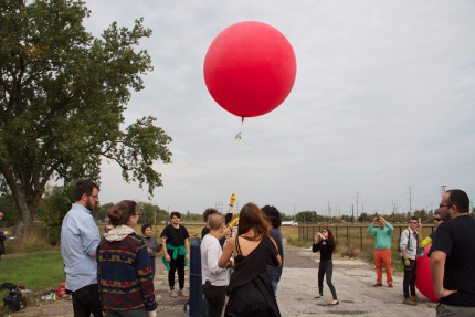
Balloon Mapping is a DIY form of aerial mapping using helium balloons and digital cameras. On Oct. 10, three SAIC classes in Sculpture and Art and Technology Studies visited an area in South Chicago to Balloon map the site. We launched two balloons from 91st Ave and S. Green Bay Ave at the southern border of what was the site of US Steel’s Southworks steel mill. The factory began in 1857 and eventually grew to a 600 acre site, employing some 20,000 people. In 1992, the factory closed.


Classes included were:
Art & Technology Studies: Sensing the Landscape
Sculpture: Mapping, Networks and Territories
Sculpture: Installation, Site, Environment
Sculpture: Mapping, Networks and Territories
Sculpture: Installation, Site, Environment
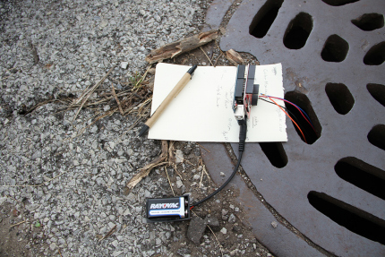

The classes also took aerial photos and employed other tools, such as air sensors, temperature sensors, soil tests to record the land as now– after its industrial nadir and before its predicted development to high-rise, lakefront condos.


