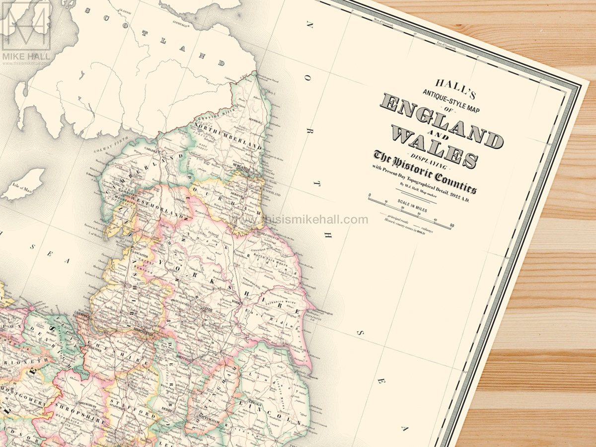
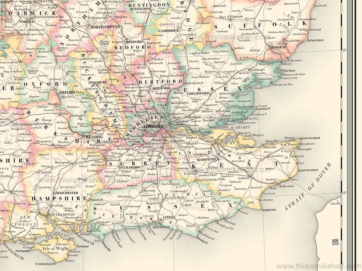
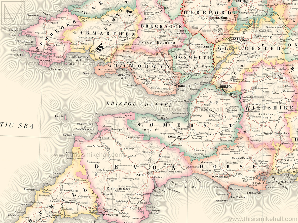
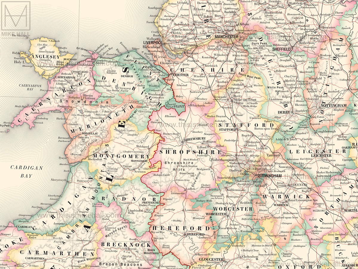
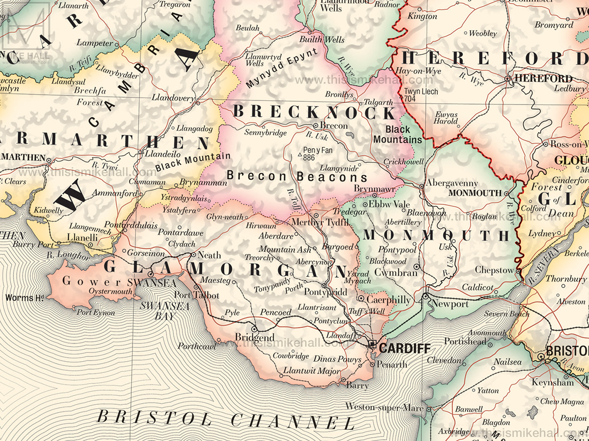
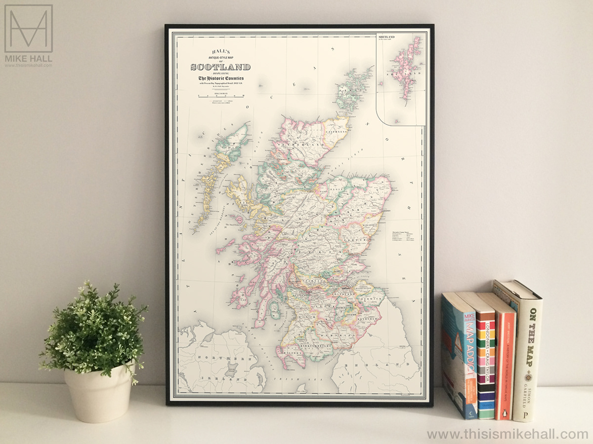
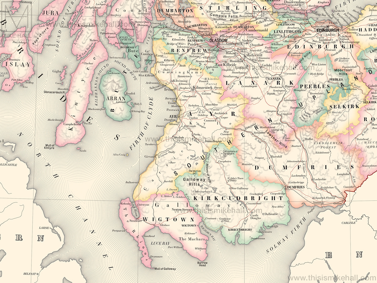
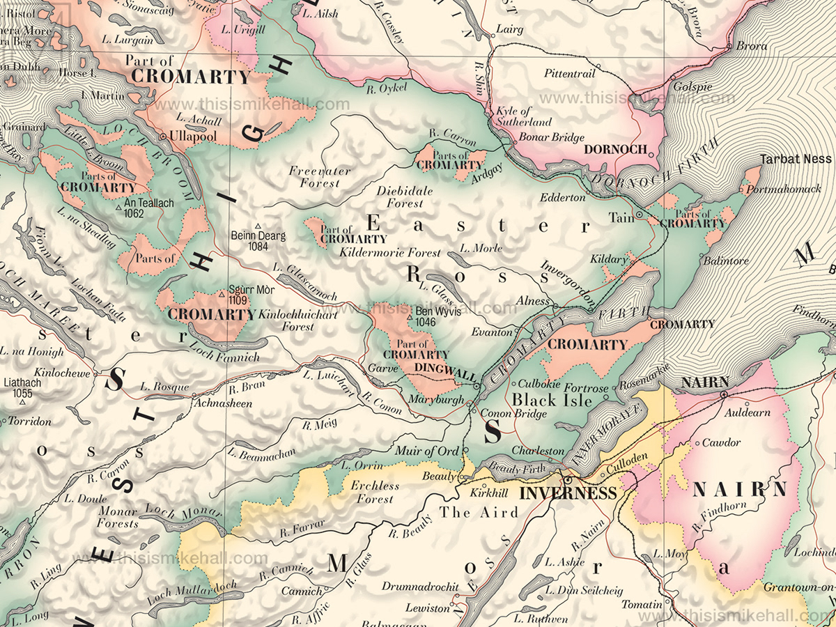
Historic County Maps of Scotland, England and Wales (2022)
These original maps of the Historic Counties of Scotland, England and Wales display the ancient county boundaries of each nation with contemporary detail, digitally rendered in the style of 19th century map prints.
Also known as the traditional counties, these long-standing administrative divisions existed from the medieval period up until their reform in the late 19th century and eventual abolition (and replacement by modern counties and unitary authorities) at various stages of the 20th century. Today, despite their obsolescence in administrative terms, they continue to have a strong influence on regional cultures and identities.
Available as prints from shop.thisismikehall.com