Dispute Islands Atlas
––––––
Critical Cartography
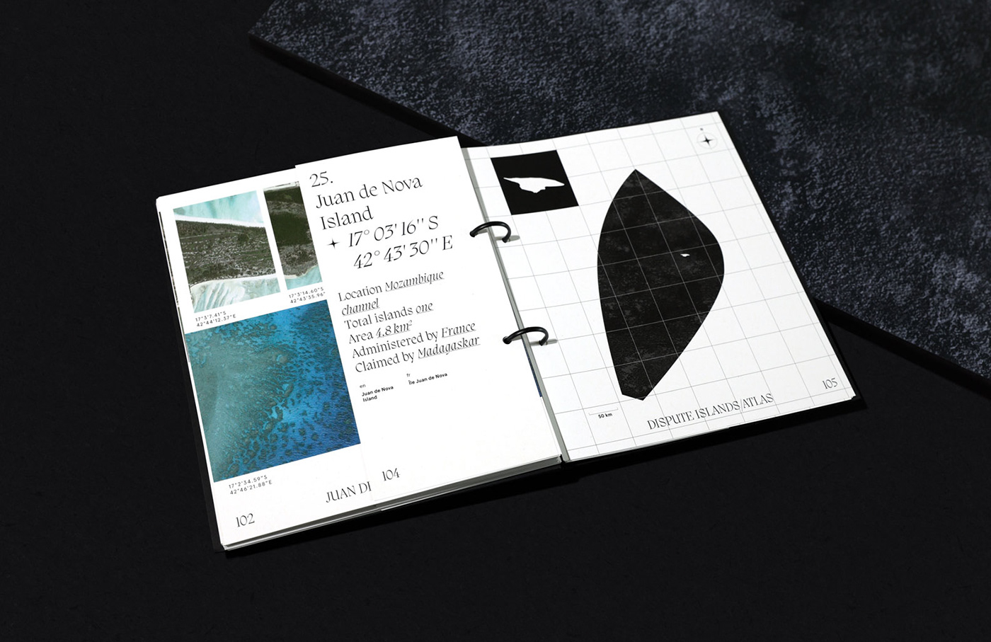
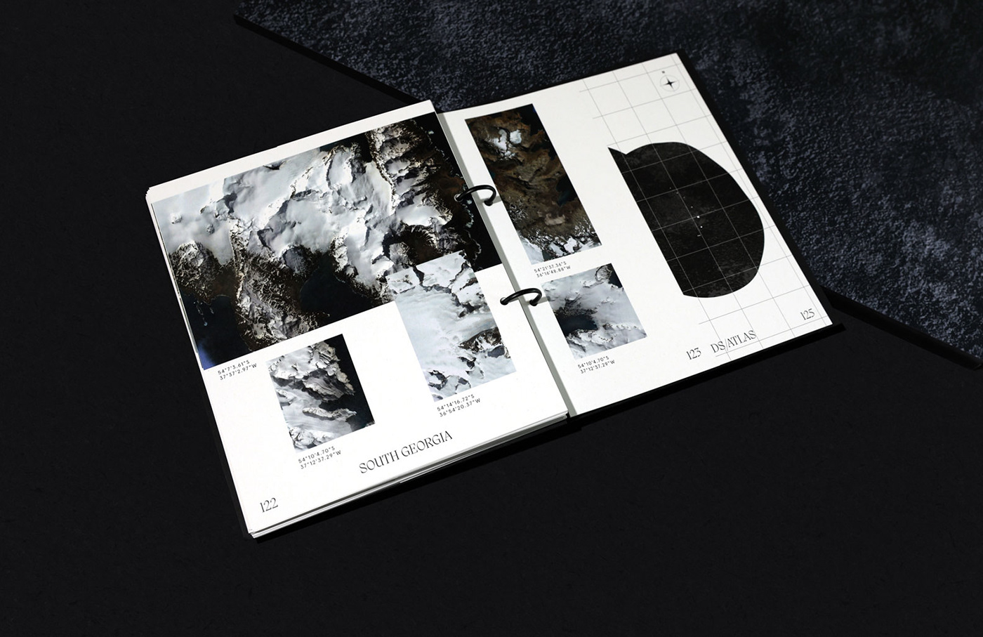
The atlas of disputed territories includes basic information and cartographic representation of 30 islands and their adjoining Exclusive Economic Zones. Each of the islands is accompanied by a photographic component based on Google satellite images. The image shows a section of water, land and settlements. All images are signed with coordinates.
sources: Sea Around Us, Marine Regions, CIA
satellite images: Google Earth Pro
language abbreviations: SO 639-1
satellite images: Google Earth Pro
language abbreviations: SO 639-1
fonts: Migra by Pangram Pangram,
Apercu by Colophon Foundry


