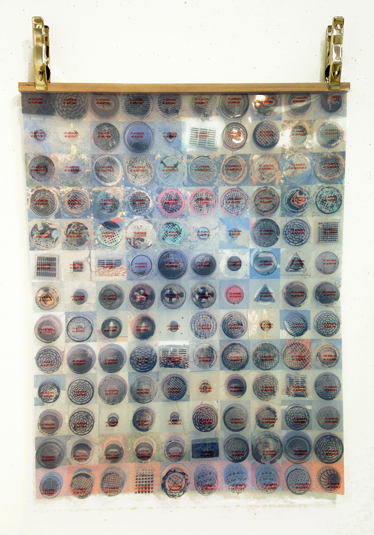
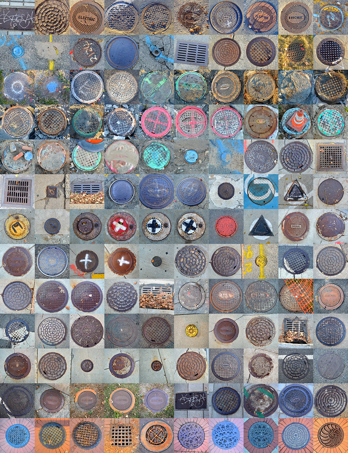
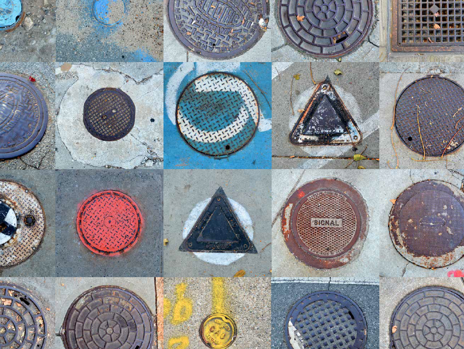
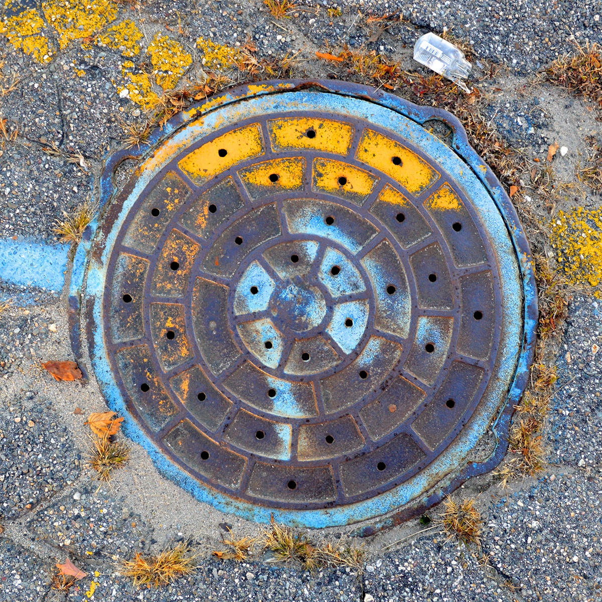
When asked to "map" a two-hour walk around Providence, I began by taking pictures of my surroundings. As I continued on my walk, I began to focus on the different surfaces of the ground I was walking on, and ultimately narrowed my center of attention to the different manhole covers I came across. By the end of the two hours, I had taken over 150 pictures of manhole covers.
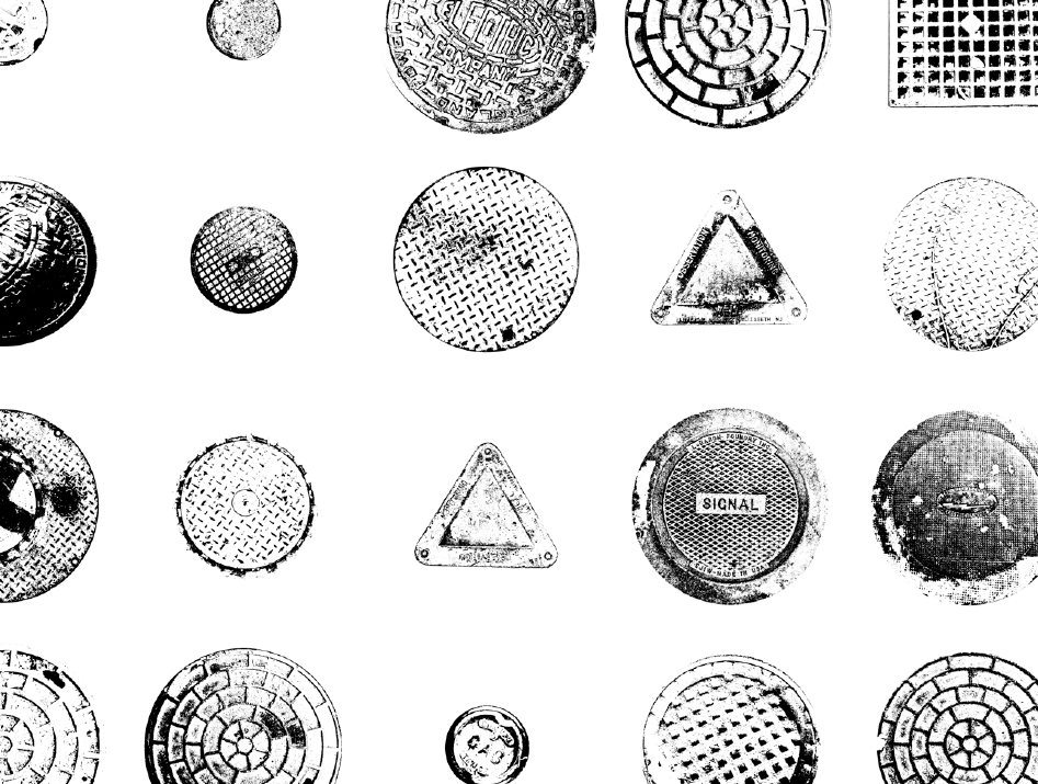
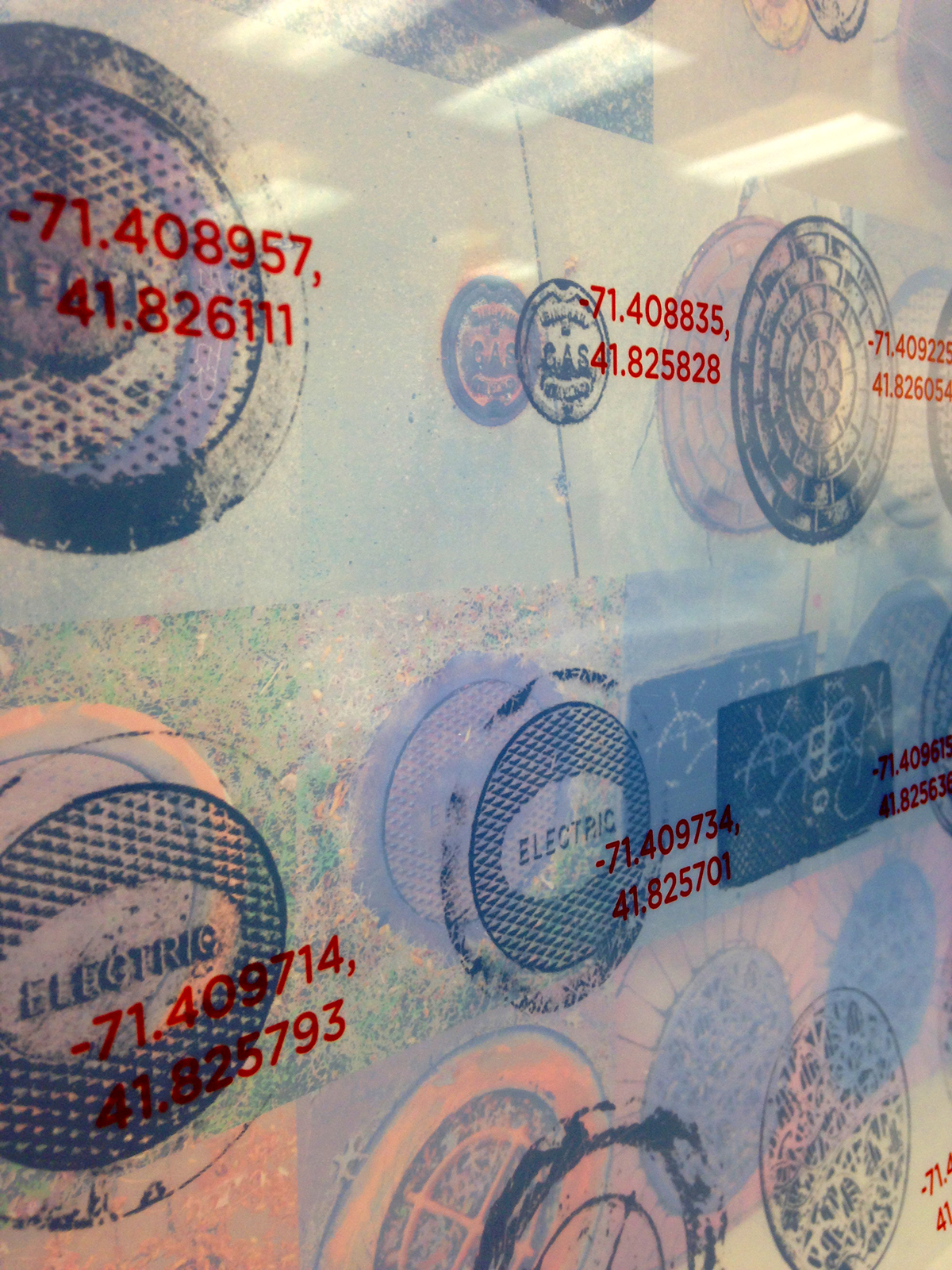
The following is a "map" of 130 of those covers, accompanied by a flat graphic of the text and pattern on the surface of each cover, and the latitude and longitude coordinates of the location of each cover.
3-Layer Poster
One Sheet Plotter Paper, Two Sheets of Acetate
30" x 39"