Complicit invisibility, is a publication that investigates nationalism, crises and how cartography has been used as a political tool
via an exploration of the rigid representation of nationalistic symbols and identity, of the Rohingya refugee crisis. It looks at how nationalism as an ideology has been physically manifested through cartography, resulting in their displacement and isolation.
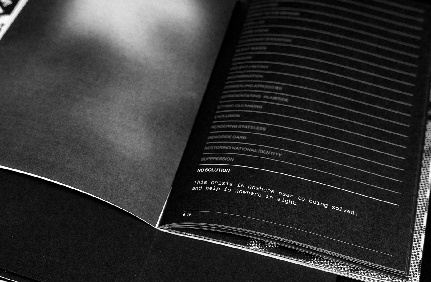
The erasure of the Rohingya villages from Myanmar’s official maps due to exclusionary laws serves as the state’s legal and ideological foundation on which they violate human rights. Portrayed as objective, precise, and authoritative, maps foster a notion of belonging, playing a key role in representation. Coupled with the Rohingya’s lack of official representation and recognition in neighbouring Bangladesh resulting from the persecution, creates perpetual statelessness. By contrasting the Rohingyas presence and identity in Bangladesh and Myanmar we visualize the scale of the crisis faced by people living in two places yet stateless and accepted in neither. The struggles and representation of Rohingya identities presented through these maps, challenges our understanding of many global refugee emergencies.
Much like identities, maps are constantly reconstructed, re-imagined, and re-situated.
The project aims to highlight just one of the ways history is written by those in power.