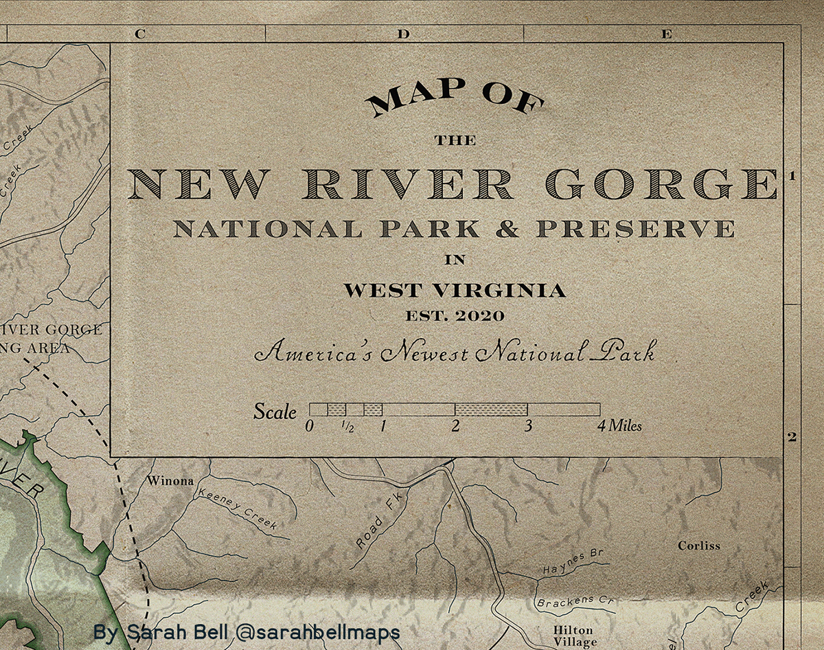
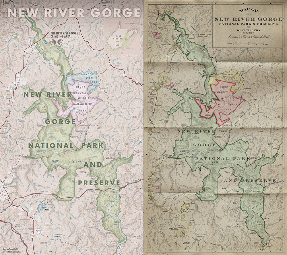
Recently I made a map of the New River Gorge National Park and Preserve (previous post on Behance). The style is in a recreational topo map style, and I wanted to also try the same map in an antique 1900s style, seen here. The map is nearly finished - both maps are still WIPs, but far enough along in their styles to share here.
Read a little about how I made the map here.
The New River Gorge National Park and Preserve is in West Virginia, USA. There is world class rock climbing within this region, and I once lived within hours of this area. I have not yet had a chance to climb at the New River Gorge (called "The New" by some climbers). I look forward to climbing at The New someday soon.
Here are some samples of the 1900s map along with a side-by-side of both versions. The maps are pretty large IRL.
The font used for the hydrography (rivers and lakes) and for the topographic features is a font I made called BellTopo Sans, and you can download it for free here.