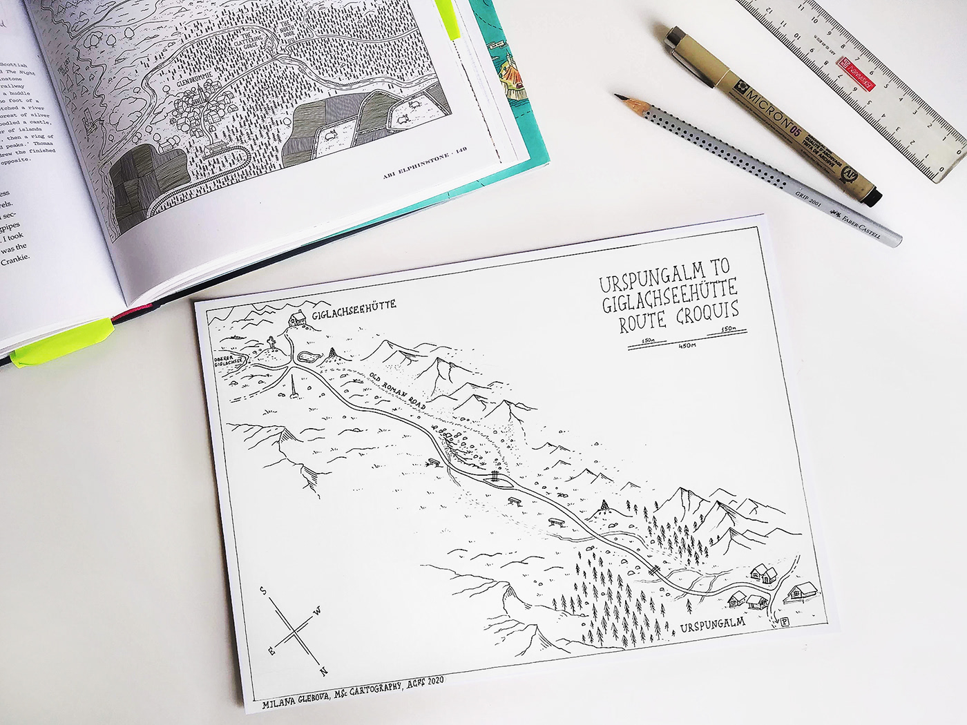
Croquis is a sketch map created by hand based on the field measurements and observations. For this map, we’ve measured distances in steps (with double-check), recorded directions taken with a smartphone compass and had been making a rough depiction of a terrain along the road. The area is located in the north of the Steirische Kalkspitze in the Schladminger Tauern.
The measurements were taken in the field by Ben McLeod, Larissa Saad, Muhammad Hamza and me during the Alpine Cartography Field School 2020, Cartography Master Program.
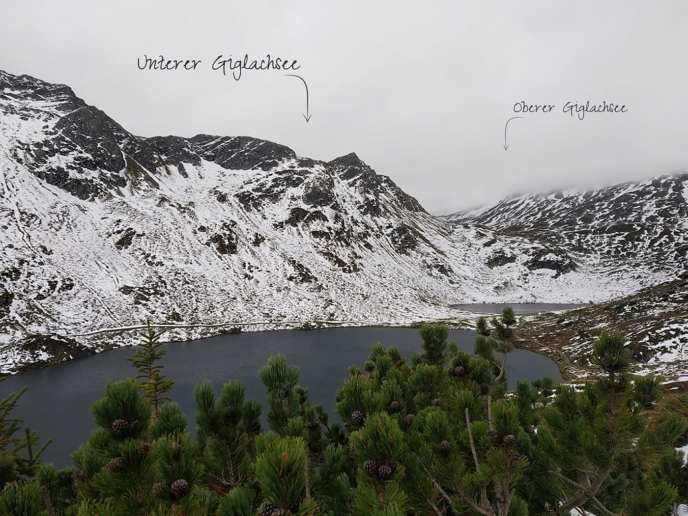
A step beyond the route:
2 October 2020

