
LOST RIVER RANGE
I was traveling on a highway in Idaho that I had never been on before. The highway followed a mountain range called the Lost River Range. This mountain range captured my attention because the peaks were void of trees which revealed an amazing range of mineralized and colored soils. These are some of the peaks that I was able to get close enough to to photograph.

Donaldson Peak, 12,023 feet (left), Bad Rock Peak 11,953 feet (center), Mt. Church Peak 12,220 feet (right)

Sacagawea Peak, 11, 936 feet

White Cap Peak, 11,889 feet

Leatherman Peak, 12,228 feet


Mt. Borah is the tallest mountain in Idaho with an elevation of 12,662 feet (3,860 meters). A 7.1 earthquake occurred at the base of the mountain on October 28, 1983. It caused the mountain to rise half a foot and the valley to sink 9 feet.
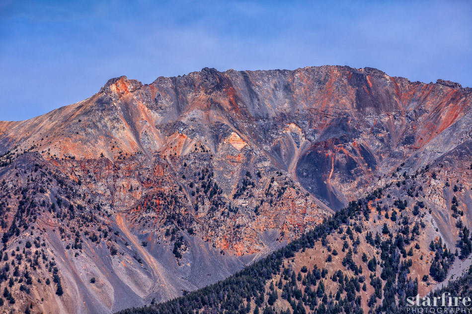
Mt. Breitenbach, 12,139 feet

Dickey Peak, 11,141 feet


A glimpse of the Salmon River, the River of No Return. The Salmon River is seen here on the east side of Idaho State. It flows all the way across Idaho to the west and joins up with the mighty Snake River on the Idaho - Oregon border.......and as it crosses Idaho, it becomes known as "the river of no return" because early travelers found it impossible to work their way back up the river after they had canoed or floated downstream.
Thank you for stopping by!
www,starfire-photography.com