

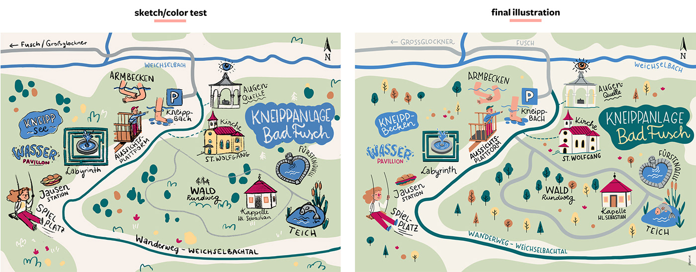
I created these map illustrations for the tourism region Bruck Fusch am Großglockner. All the illustrations and handwriting were done with Adobe Fresco an the iPad Pro. I edited the maps in Adobe Illustrator. The map is vector based, so that the client can use it in different sizes on different media.

A map illustration for Bruck Fusch am Großglockner tourism region.
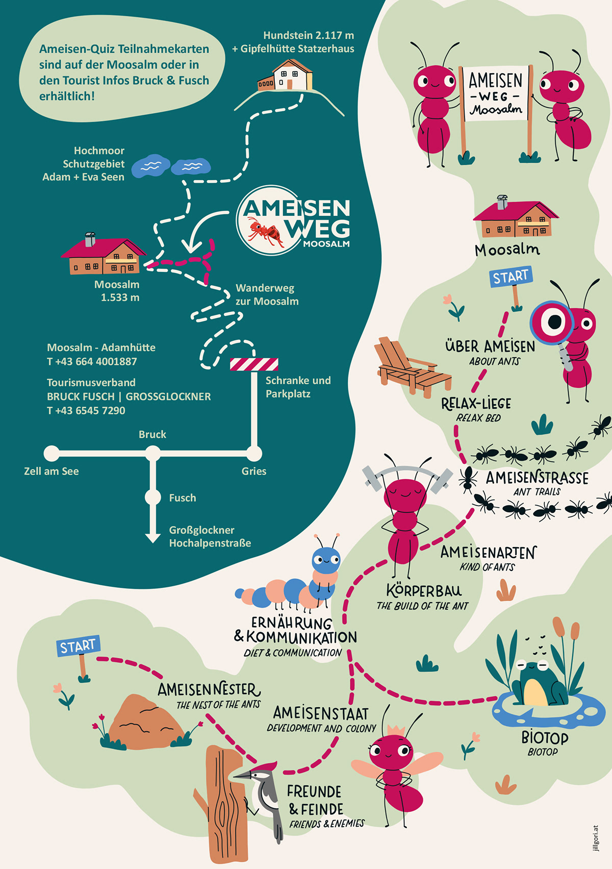
A map illustration for a hiking trail with the theme of ants for children.


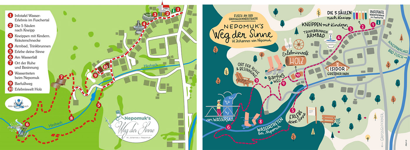
Before and after. This is how the map looked before my re-design.

Color palette.


