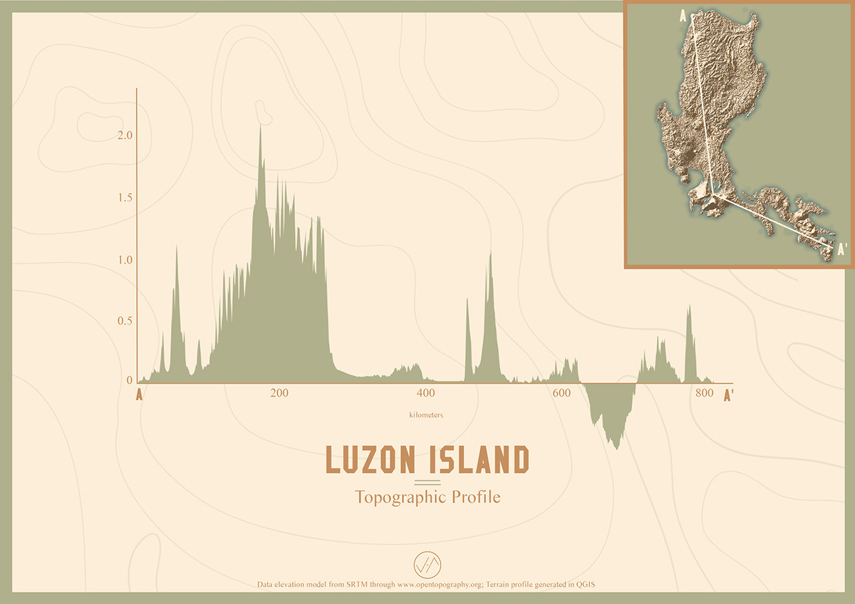
A visual graph study of the Philippine island’s varied topographic elevation and partial bathymetric depth. Dataset used is a digital elevation model from Shuttle Radar Topography Mission.
Dołącz do Behance
Załóż konto, lub Zaloguj się,aby wyświetlić spersonalizowane rekomendacje, obserwować autorów i nie tylko.
lub
Dołącz do Behance
Załóż konto, lub Zaloguj się,aby wyświetlić spersonalizowane rekomendacje, obserwować autorów i nie tylko.