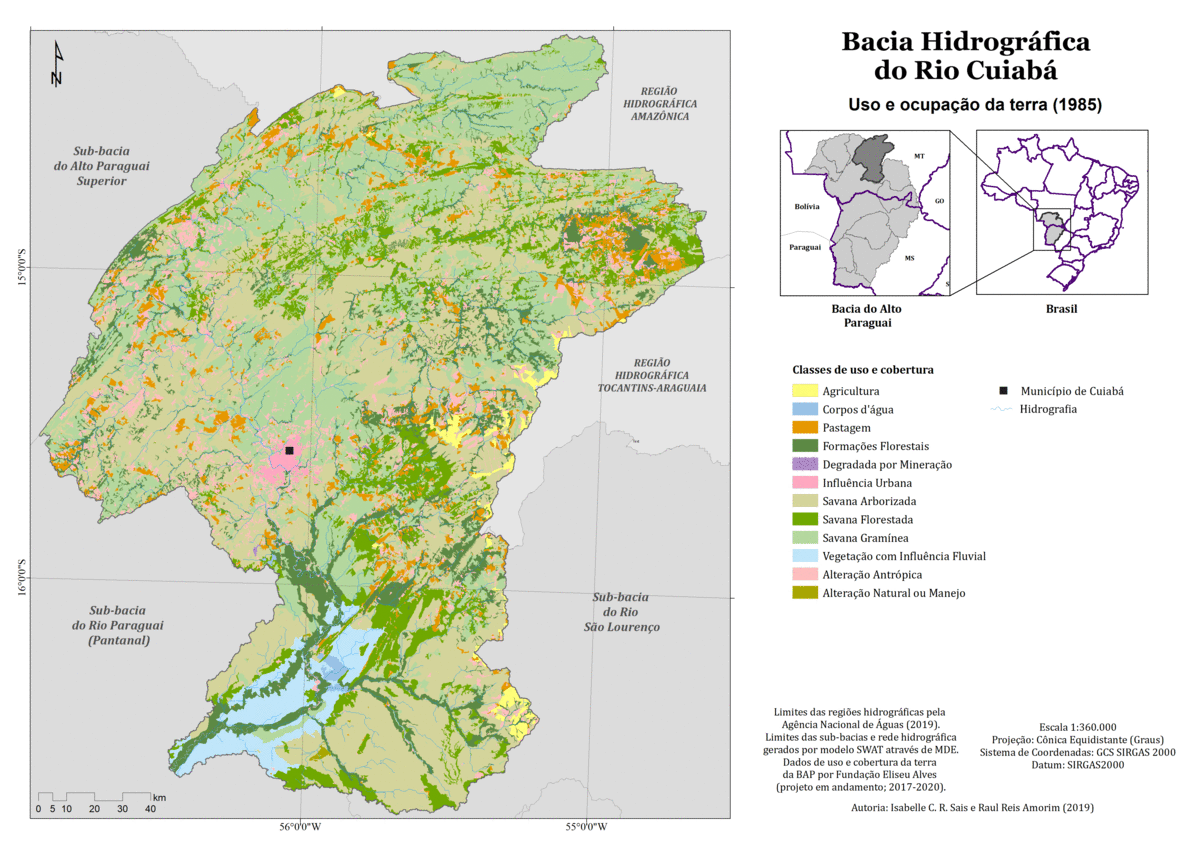
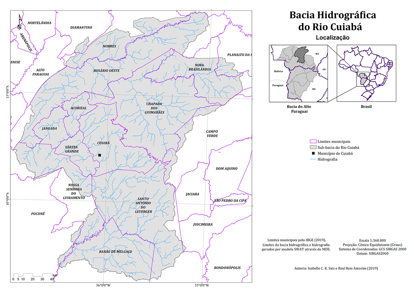
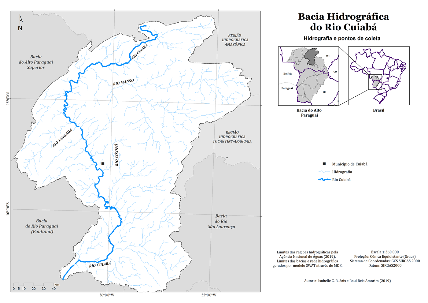
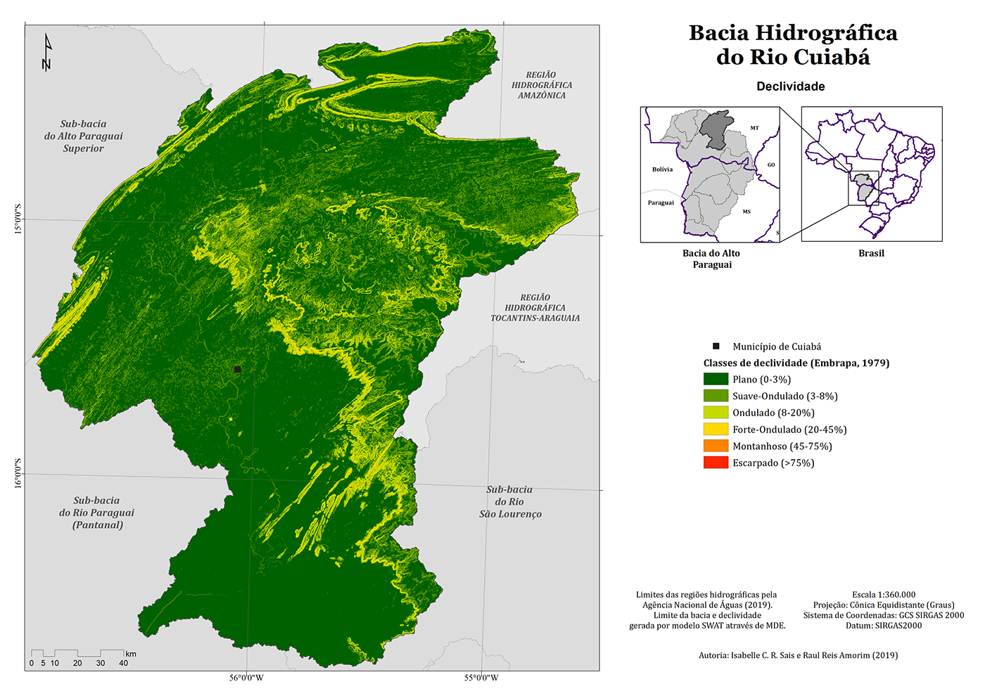
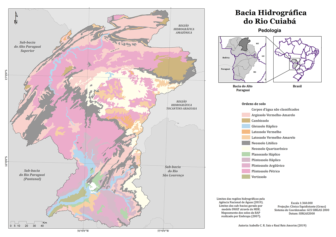
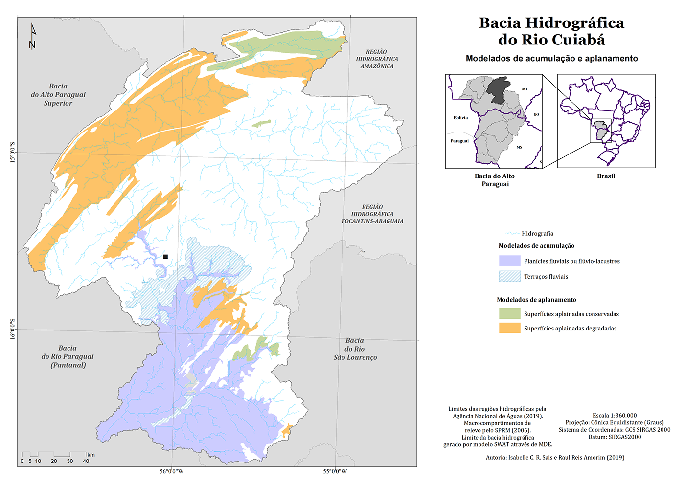
For my Bachelor in Geography, I had to produce numerous maps aiming to achieve a better viewing of the soil, land use, geomorphology and relief of the study area: the Cuiabá River Hydrographic Basin, located in the Pantanal Brazilian region. The title the full thesis is "Variations in the land use and in the sediment load of the Cuiabá River Basin, between 1985 and 2017", and it was delivered and approved in December 2019, acquiring the highest grade.


GIF created to make the comparison between the land use in 1985 and 2017, in the same area: Hydrographic Basin of Cuiabá River, in Pantanal Region, Brazil. The yellow represents the anthropic use, while the green represents natural use.