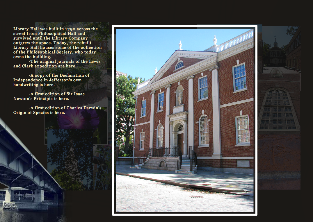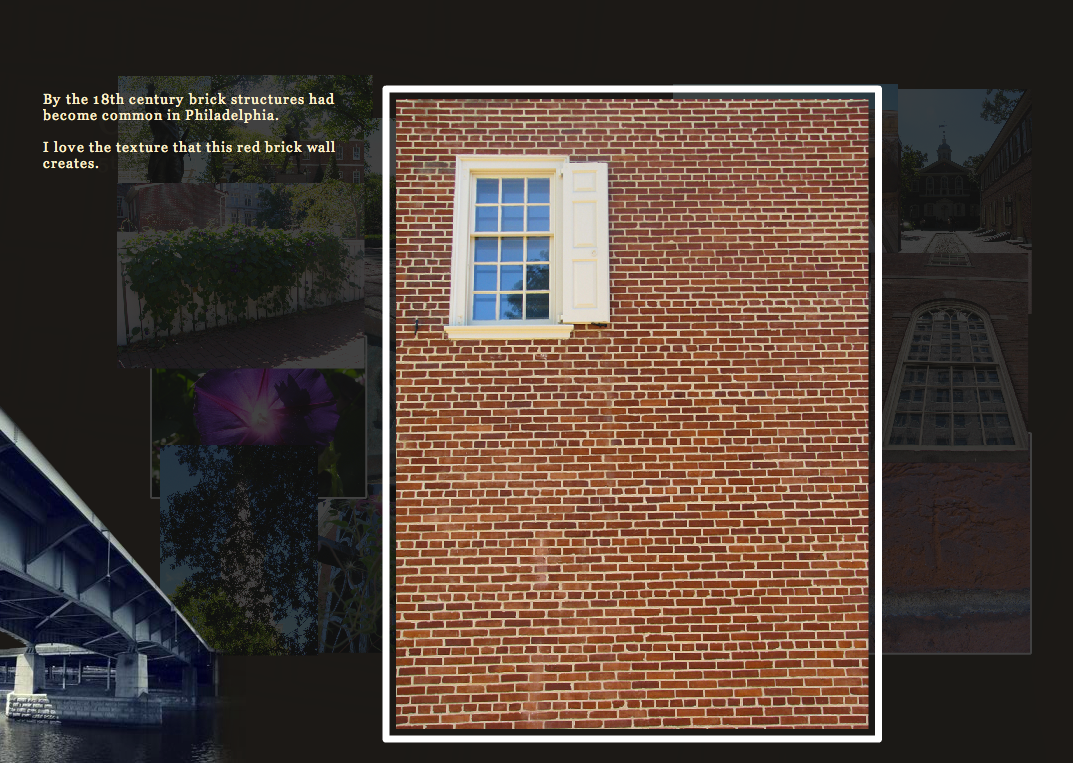
Interactive Historical Map
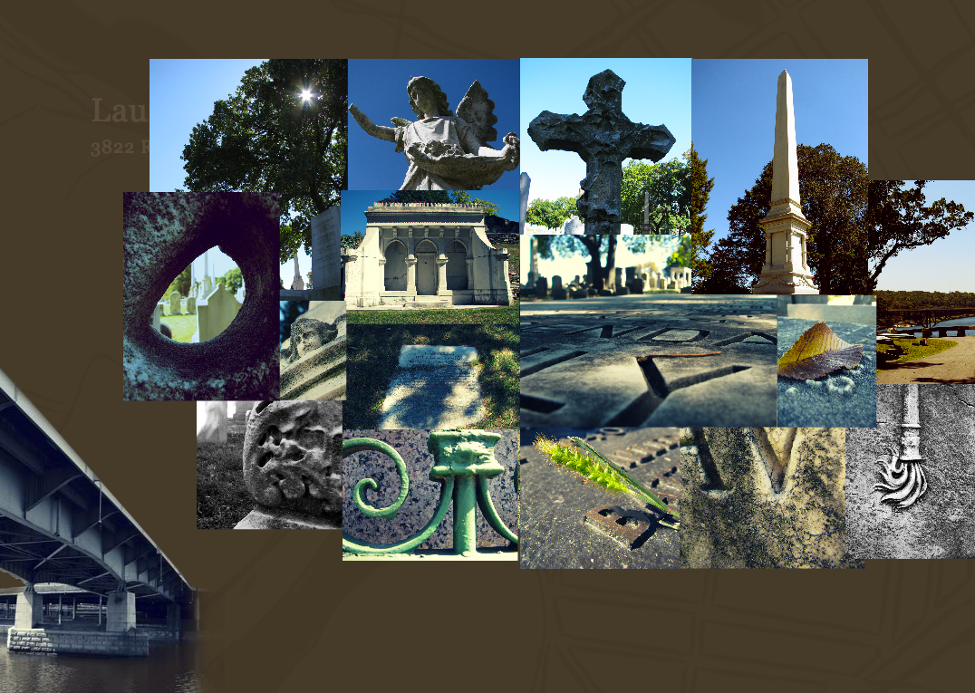
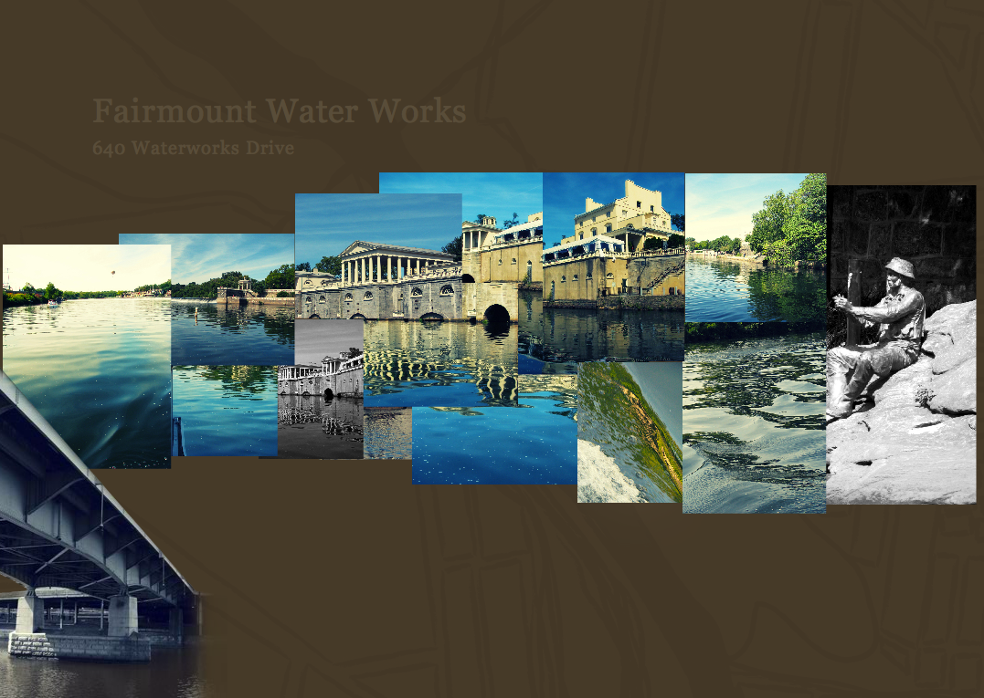
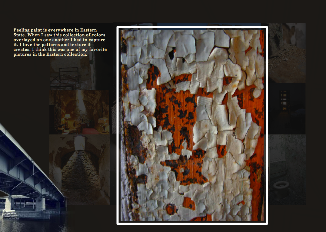
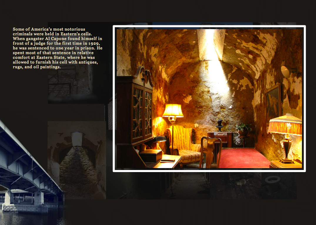
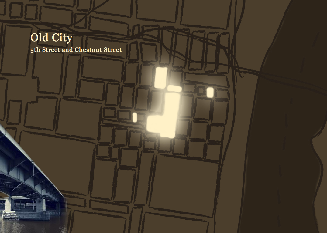
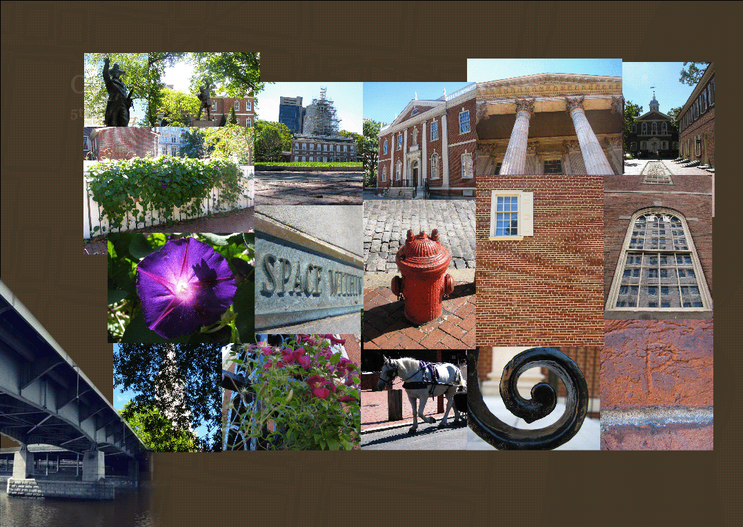
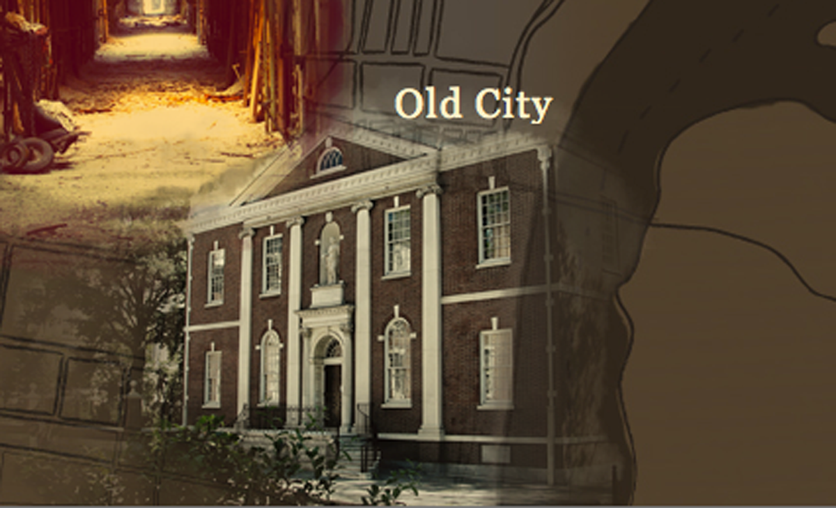
The Historical Philly Map was originally my interpretation of a data visualizer, but it slowly turned into an interactive photo gallery. I had a goal: find a way to display certain amounts of data in an interesting and interactive way. I chose to focus on a number of historic locations throughout the city and use the photographs that I had taken while personally exploring those locations as my data. The personal nature of these photos makes this experience much more of a unique exploration through my eyes. Each gallery has a kind of mosaic-like feel and emphasizes the way that each location has unique parts that blend together.