


Company: Takween Integrated Community Development
Project: Pilot Public Space and Environmental Upgrading in Izbit Khayrallah - Cairo
The project is about developing a tunnel in Khayrallah - one of the largest informal settlements in Cairo, with an estimated population over 500,000, and lacks many public services. The tunnel was built under Cairo's Ring Road that was constructed in the 1990's, to connect Khayrallah as the highway divided it into two parts, with the majority of the available services on one part, including the only neighborhood school. The main problem in the tunnel was that the lowest leveling point in the area lies at its center. As the sanitation network got clogged frequently, the water was collected in the tunnel preventing the people and the vehicles from passing through it, which pushed the people to cross from above - through the highway (over the tunnel) - causing casualties and deaths.
The visualization illustrates the tunnel's location under the Ring Road (highway), the problems occurred within the tunnel (before the intervention), and the proposed solutions which were implemented. In addition to the illustrations, my contribution to the project included conducting social surveys for the sanitation issue, facilitating participatory design workshops with the community, creating architectural and workshop drawings of the tunnel, and supervising the implementation process. In 2018 the project won the State Encouragement Award for its significant impact on the community of Khayrallah.

The Ring Road cutting Khayrallah into two parts - قسم الطريق الدائري العزبة إلى جزأين
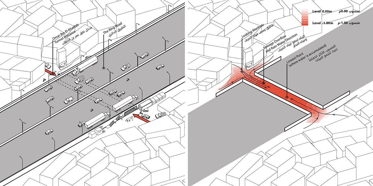
Left: Tunnel and Ring Road relation - علاقة الطريق الدائري ونفق عمر بن الخطاب
Right: Tunnel leveling study - دراسات مستوي النفق
The status of the tunnel before intervention - وضع النفق قبل التدخل

Tunnel problems - مشاكل النفق
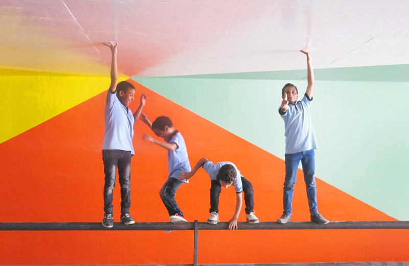
The proposed design - التصميم المقترح


Check and download the full booklet here:
https://issuu.com/takweenicd/docs/khairallah_booklet_final_113016-shu
https://issuu.com/takweenicd/docs/khairallah_booklet_final_113016-shu
Thank you!


