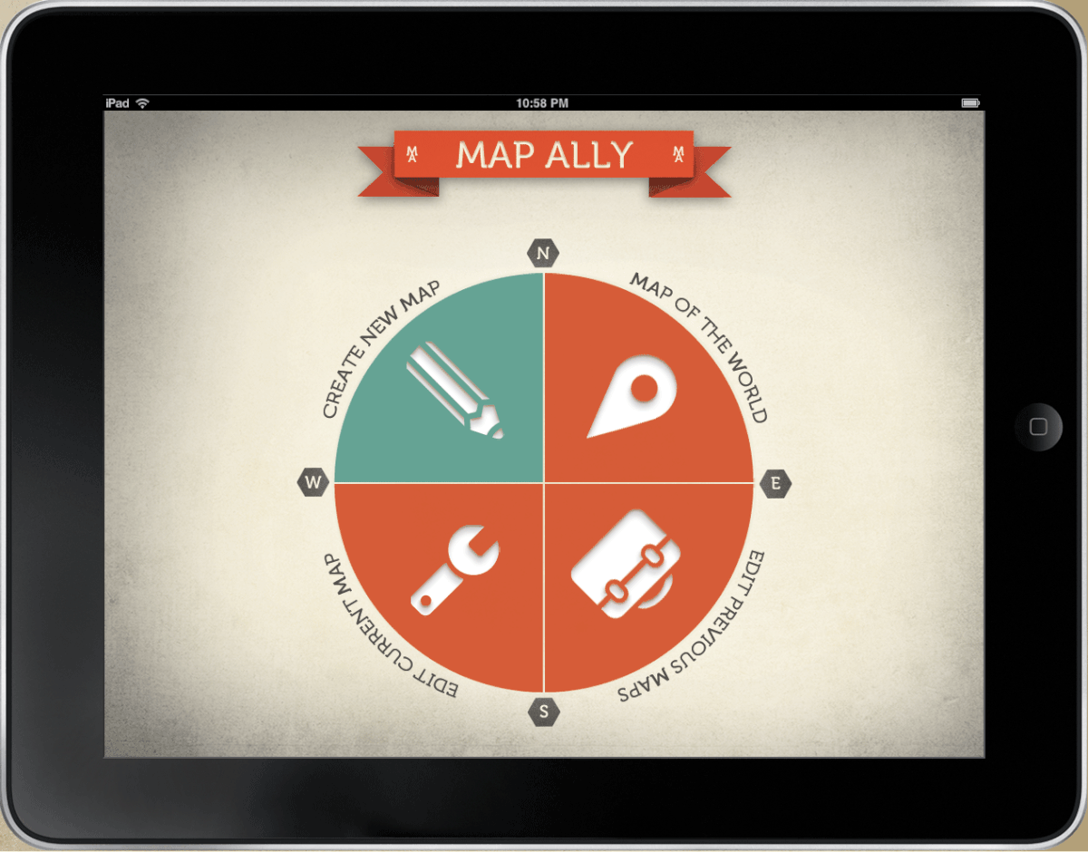
MapAlly
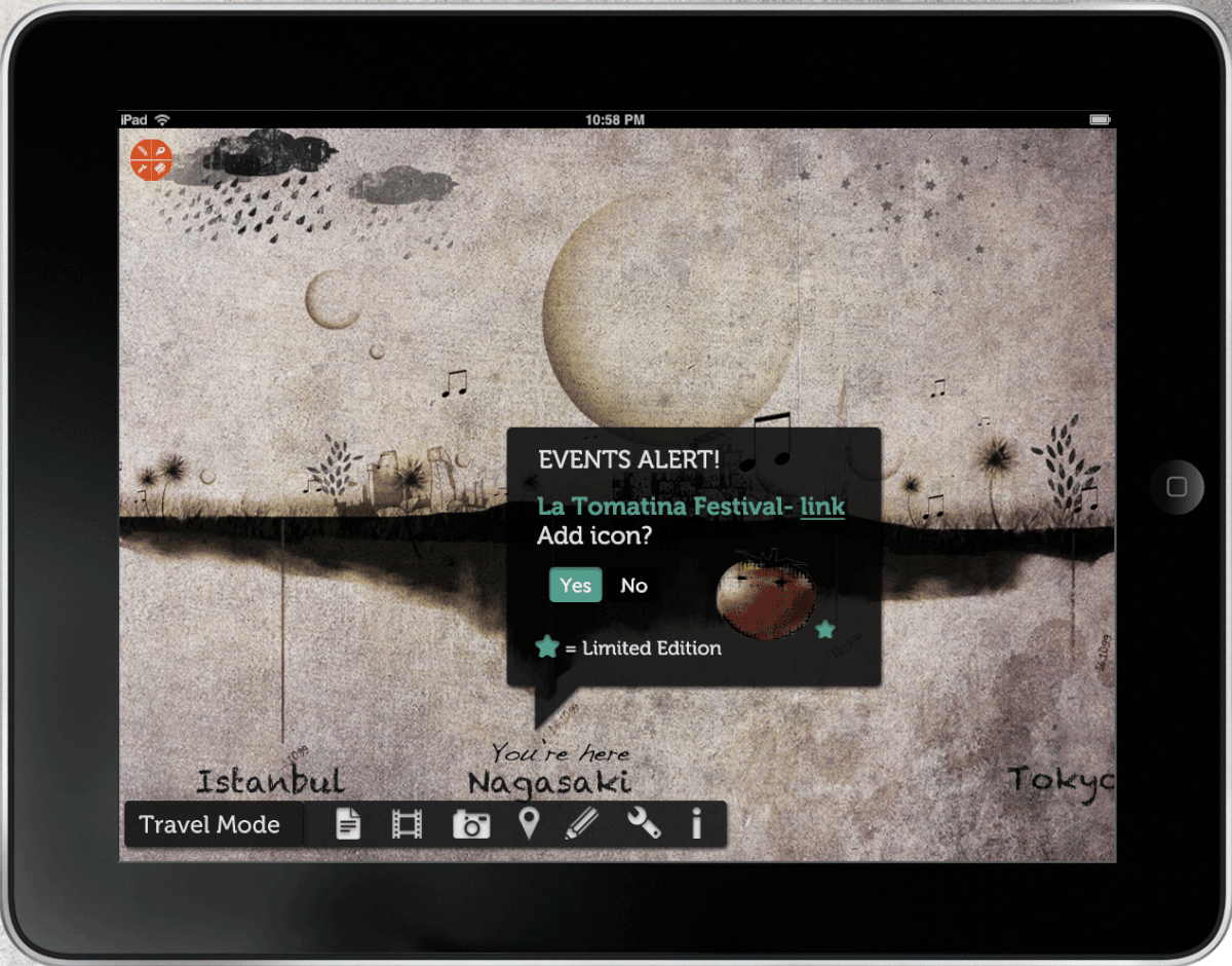
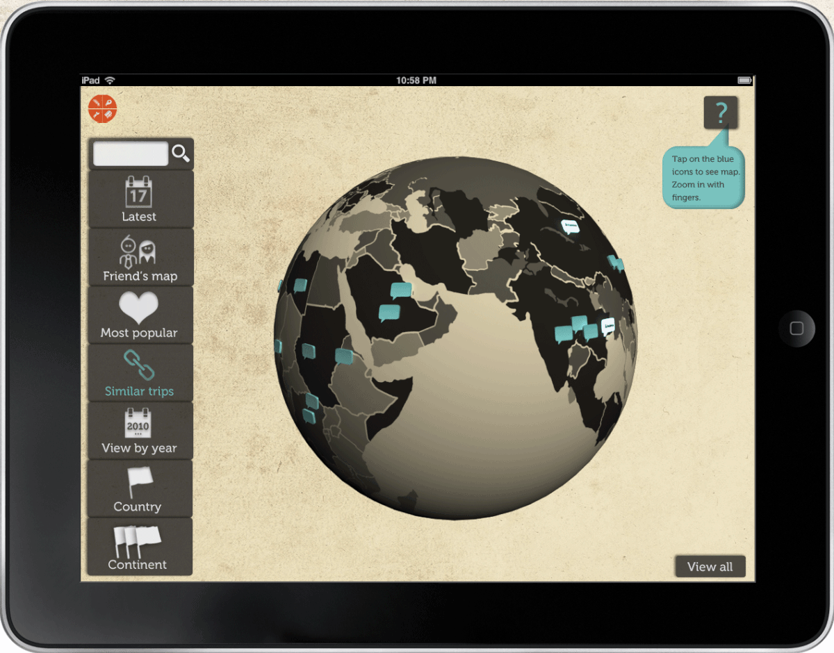
Based on the idea of a traditional travel journal. It is our vision to give the travellers a chance to personalise their journey into a graphical map, in which they can eventually have it as a poster print or send it to friends and family as a post card. The application is enabled with certain technical features of an iPad, such as the accelerometer, tilt sensor and GPS system; it also let the user connect with Google Calendar and Weather in order to have a very up to date visual representation of their journey.
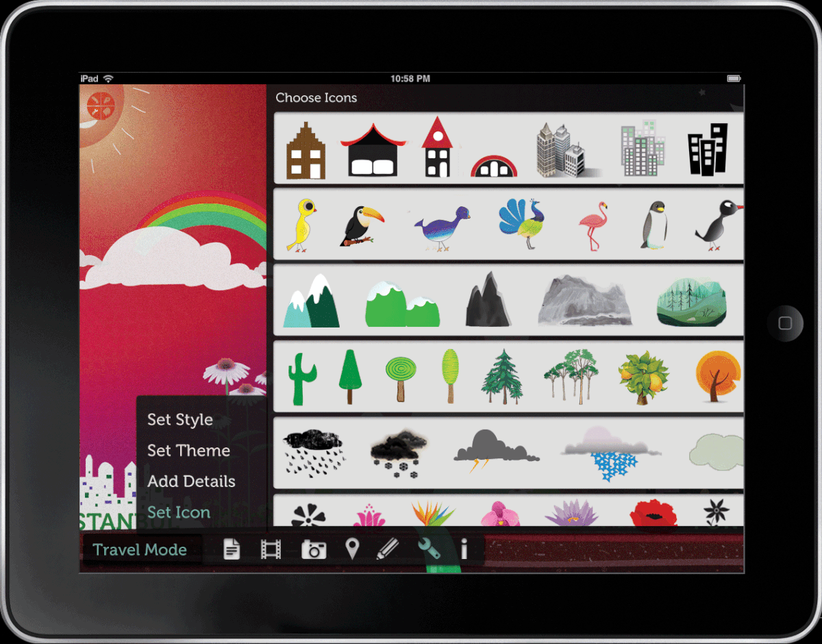
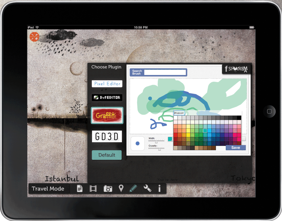
The experience is fully customisable in every sense. The map styles and themes come in a selection of styles such as pixel art, asian landscape, vector style, and much more. The users can choose the style and theme that they prefer, and when icons are being inserted into the map to represent cities, mountains, clouds, sun, etc, these icons can either be chosen from a ready-made array of icons, or the user can also create his/her own icons, using the drawing plugins that have already been built into the app.
Based on the idea of a traditional travel journal. It is our vision to give the travellers a chance to personalise their journey into a graphical map, in which they can eventually have it as a poster print or send it to friends and family as a post card. The application is enabled with certain technical features of an iPad, such as the accelerometer, tilt sensor and GPS system; it also let the user connect with Google Calendar and Weather in order to have a very up to date visual representation of their journey.
The experience is fully customisable in every sense. The map styles and themes come in a selection of styles such as pixel art, asian landscape, vector style, and much more. The users can choose the style and theme that they prefer, and when icons are being inserted into the map to represent cities, mountains, clouds, sun, etc, these icons can either be chosen from a ready-made array of icons, or the user can also create his/her own icons, using the drawing plugins that have already been built into the app.
This was a collaborative project done at Domus Academy, 2010.
Team: Yameng Li, Pietro Naoni, Vanessa Schauer, Isil Uzum.
Team: Yameng Li, Pietro Naoni, Vanessa Schauer, Isil Uzum.