Dunedin’s city centre is flat, nestled between Otago Harbour to the east and a crescent of hills to the west. The flatness remains down to South Dunedin, while northward the land divides into hills (Pine Hill, Ōpoho) and valleys (North East Valley, Leith Valley).
The walk into town from nearby suburbs is always flat or downhill. And once you’re there, Dunedin’s city centre is remarkably walkable.
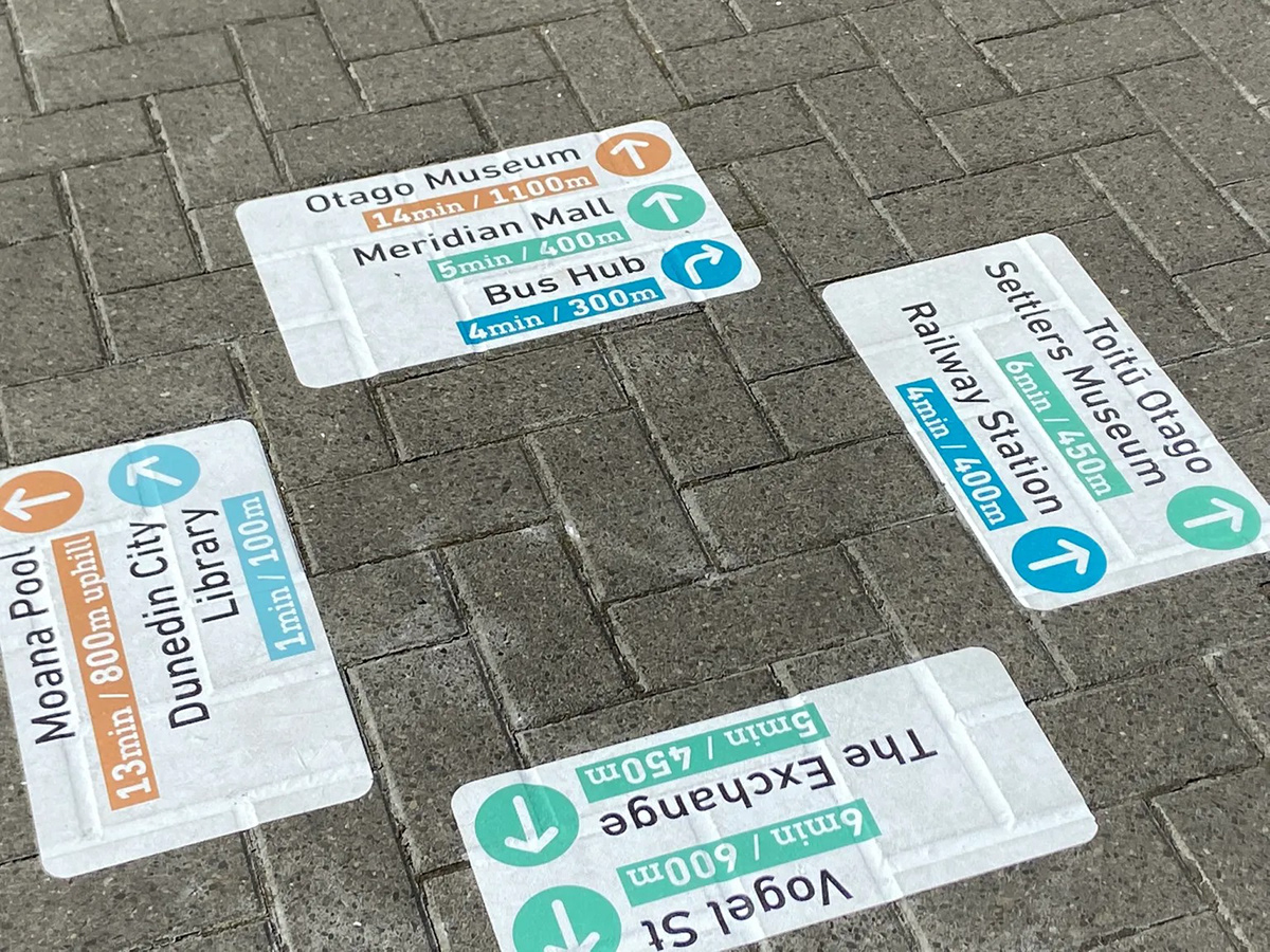
Dunedin City Council asked for a map that highlighted this walkability. Later, while working at Stantec, I extended this project to include low-cost ground wayfinding to accompany the map.
See the full write-up on this project on my website here.