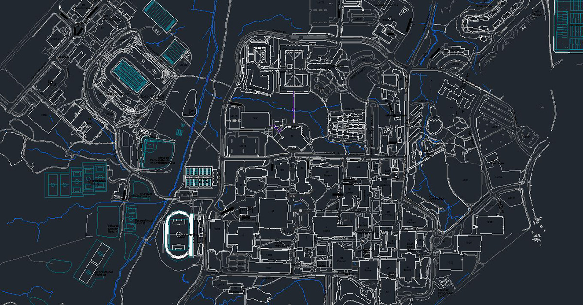
The intent here, was to take existing records files of the Univeristy, provided by Facilities Management and create a vector file of the campus. In doing so, the map would now editable with in aspect of its features (such as buidings, road, parking, etc) existing on seperate layers.